
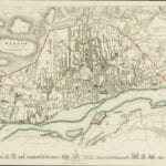
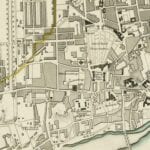
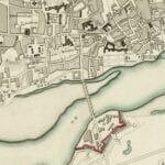

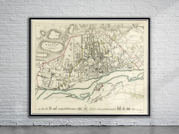
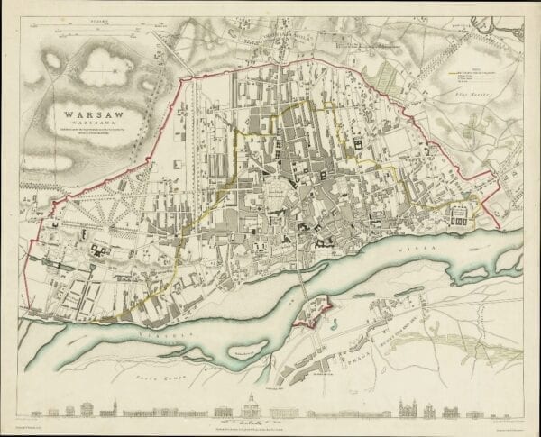
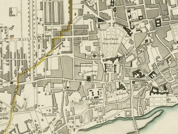
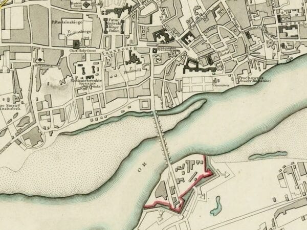
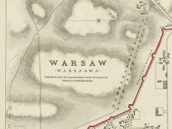
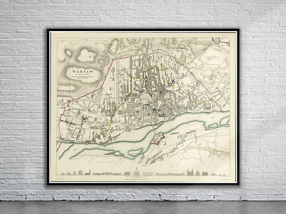
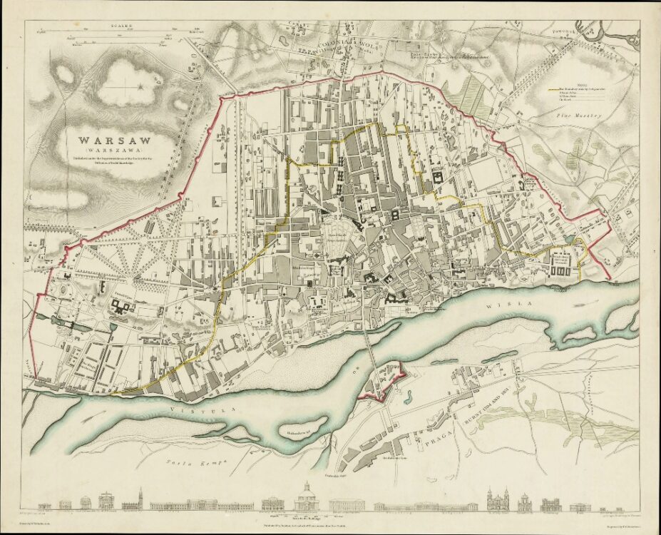
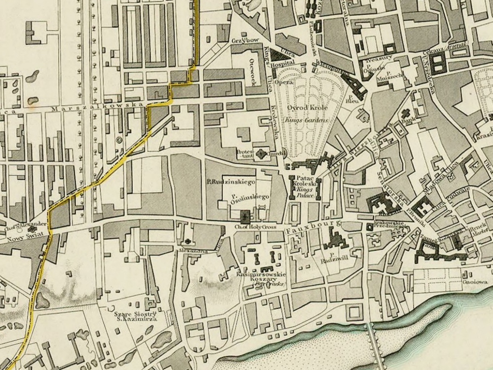
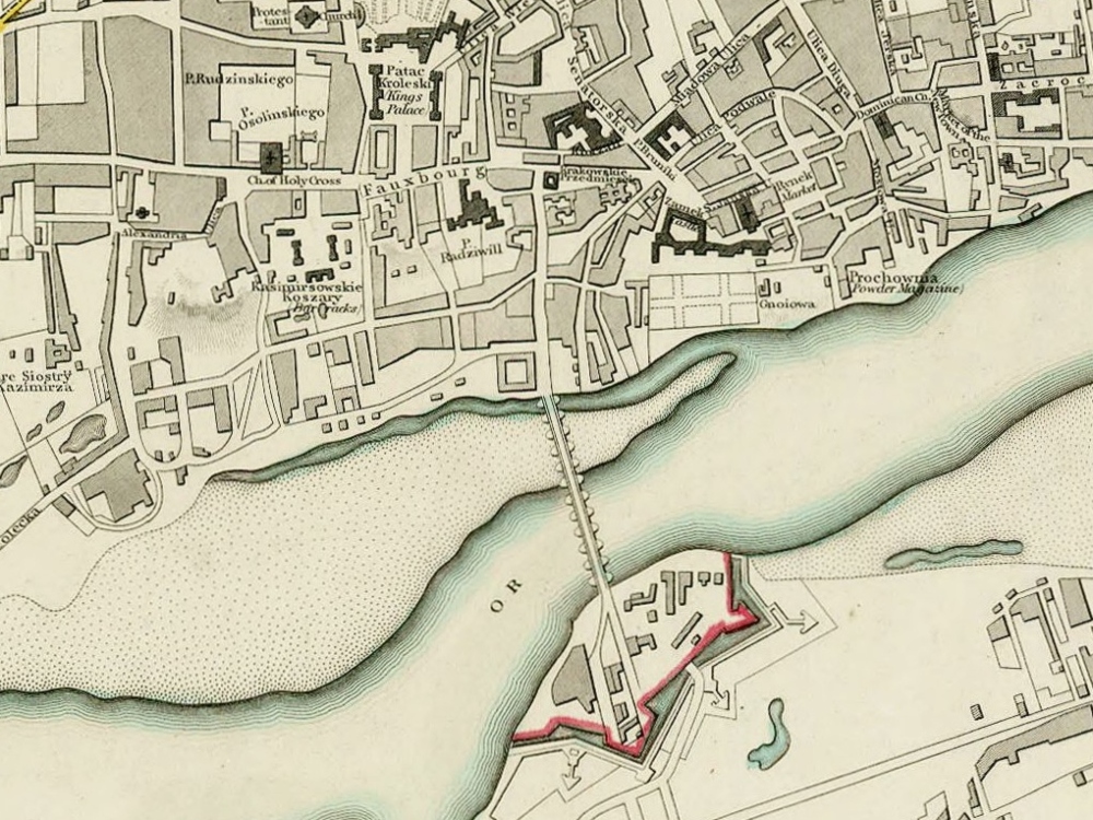
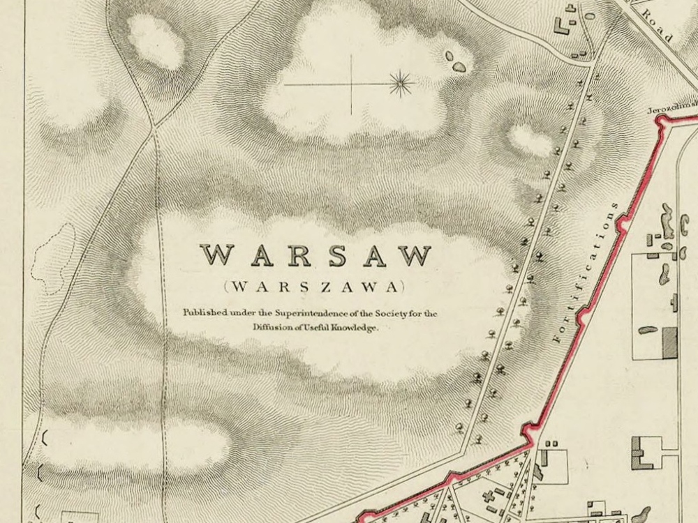
Vintage Map of Warsaw from 1831 created for the SDUK. The map shows the boundary of the city in 1762 outlined in yellow, and the present city walls in red. At the foot of the map is a series of architectural elevations of prominent buildings.
- Stunning Full Colour Reproduction using the Most Advanced Technology Available
- Printed on Museum Matte Archival Paper 310gm
- Unique Conversation Piece for your Home or Business
- Frame not included