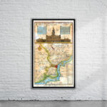
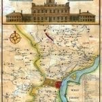
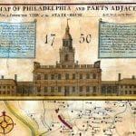
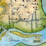
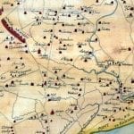
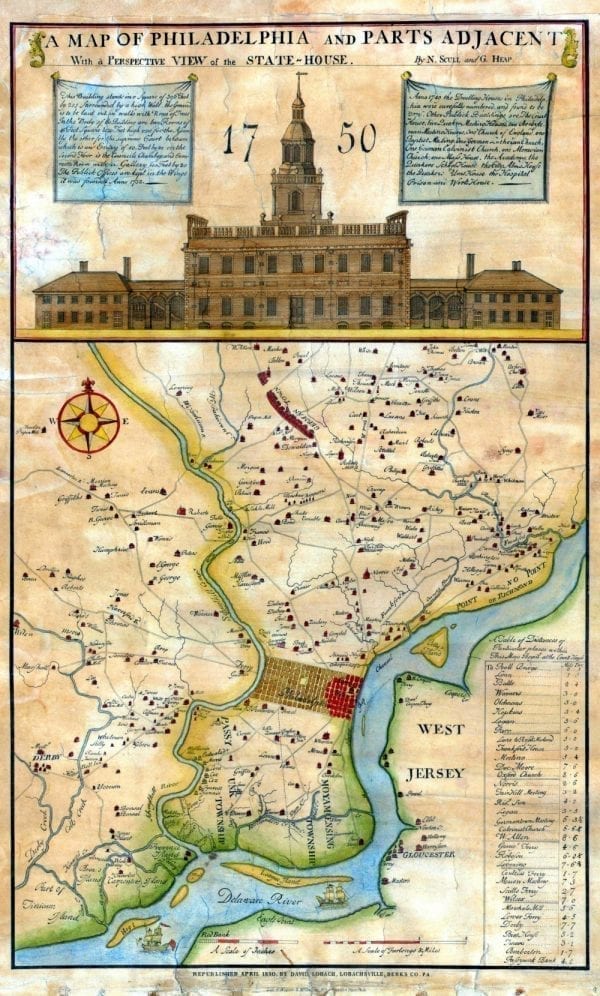
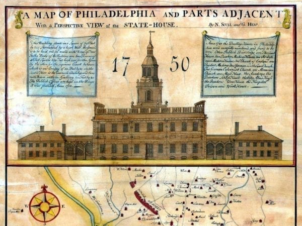
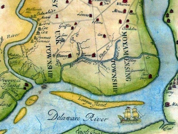
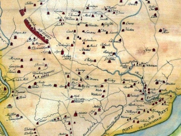
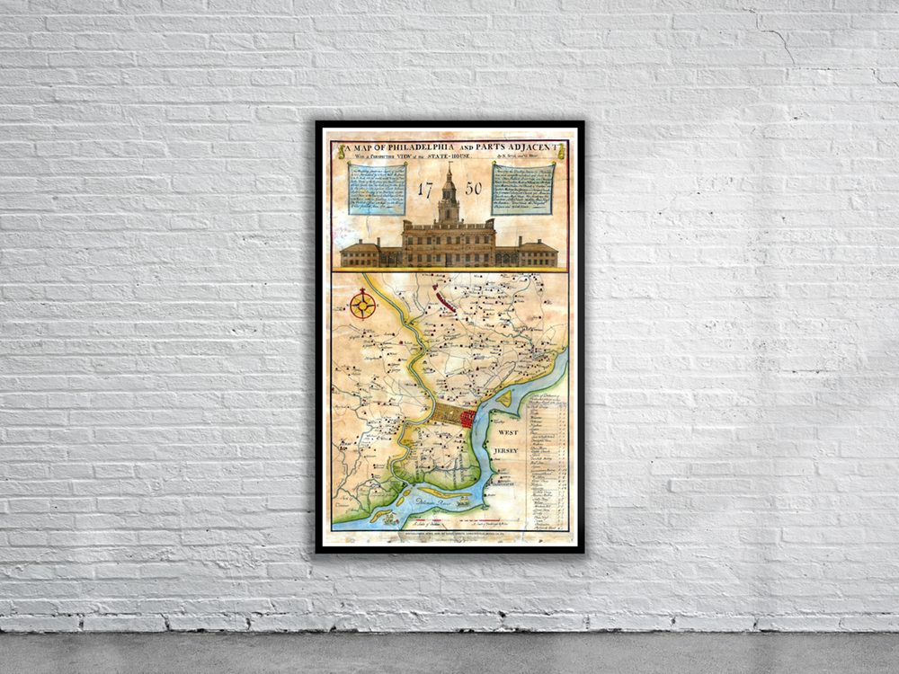
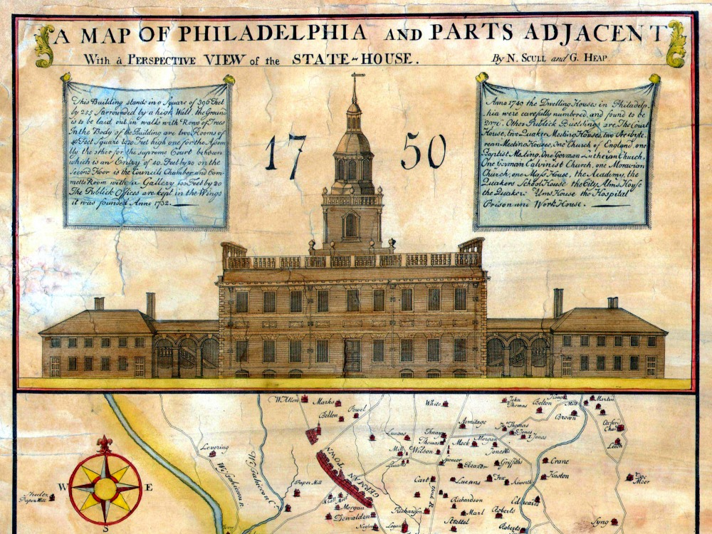
A map of Philadelphia and parts adjacent with a perspective view of the State-House by Nicholas Scull & George Heap. Extending out from the city, upwards of eight miles, Scull and Heap plotted in the roads and the names of many people who lived on them. Rivers and creeks are shown, as well as villages and ferries, islands in the Delaware, and other points of interest.
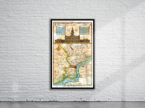
- Stunning Full Colour Reproduction using the Most Advanced Technology Available
- Printed on Museum Matte Archival Paper 310gm
- Unique Conversation Piece for your Home or Business
- Frame not included