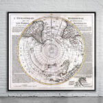
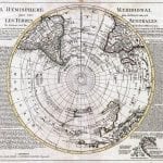
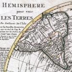
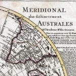
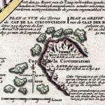
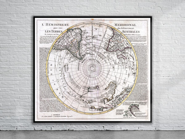
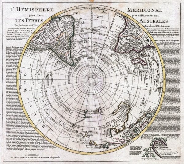
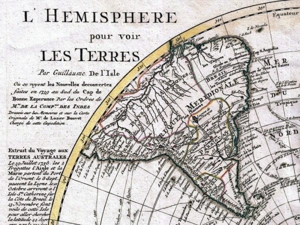

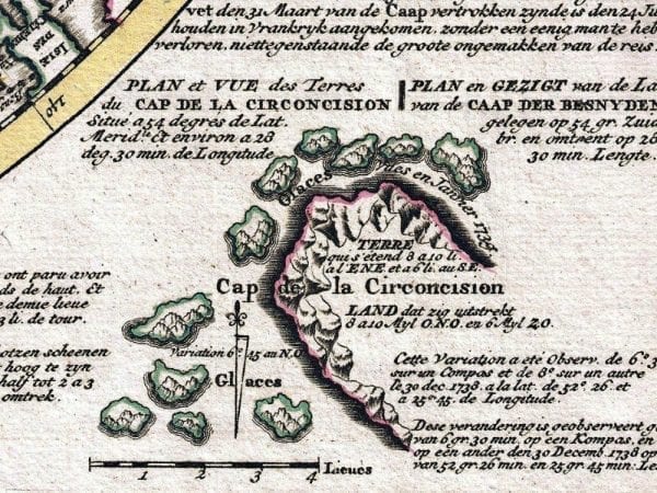
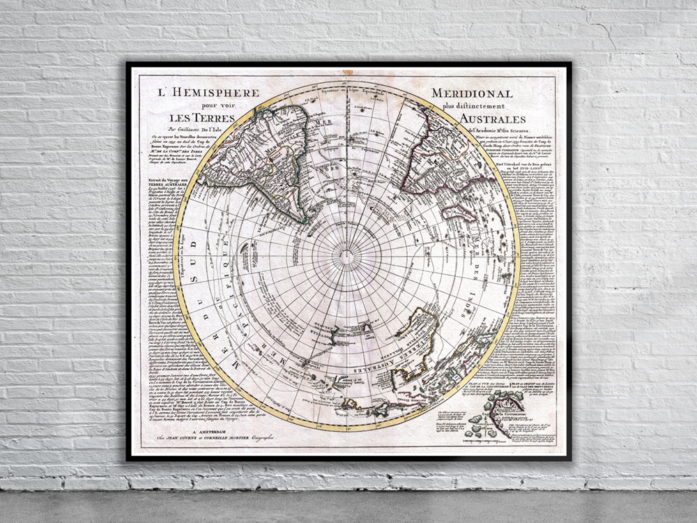
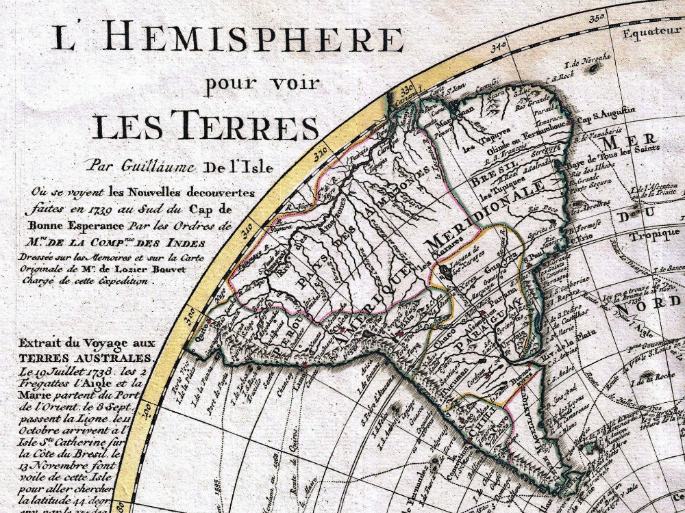
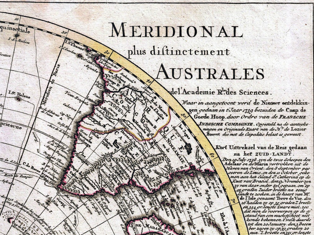
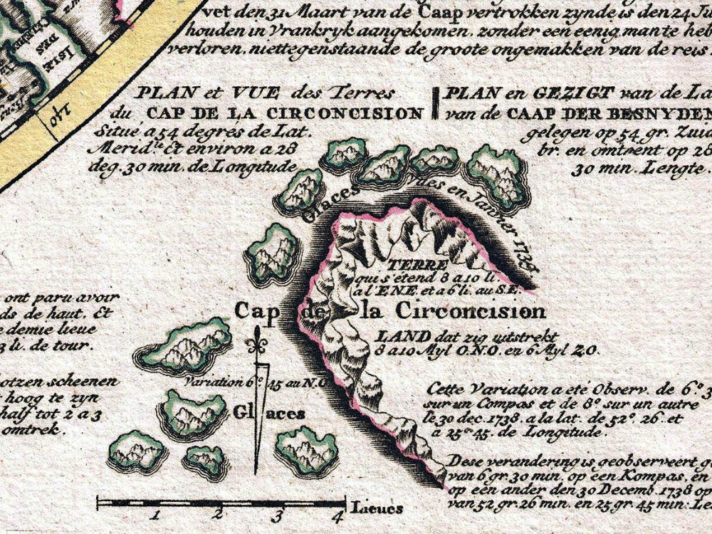
A stunning map of the Southern Hemisphere originally drawn by Guillaume de L’Isle and updated in 1739 by Covens and Mortier. Extending from the South Pole northwards in all directions as far as the Equator, encompassing in the process most of South America, southern Africa, Australia, and parts of the East Indies including Borneo, New Guinea, Java and Sumatra. The map details the routes taken by numerous explorers including Magellan.
- Stunning Full Colour Reproduction using the Most Advanced Technology Available
- Printed on Museum Matte Archival Paper 310gm
- Unique Conversation Piece for your Home or Business
- Frame not included