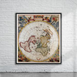
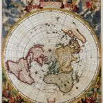

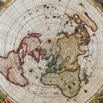
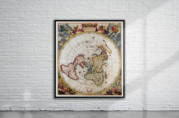
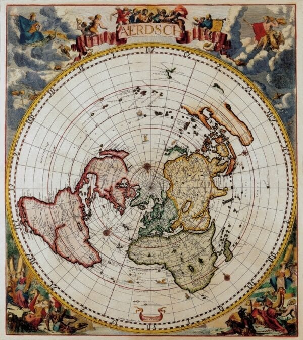

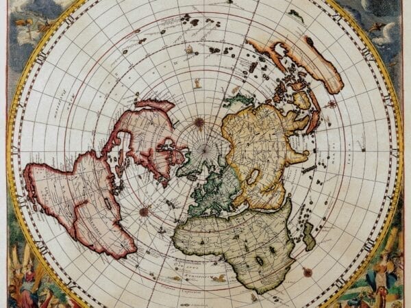
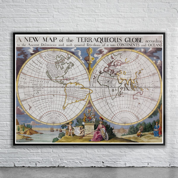
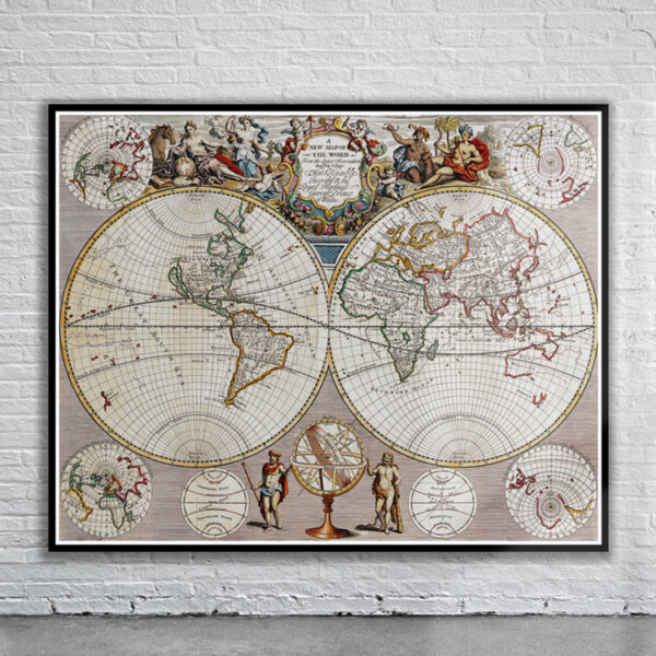
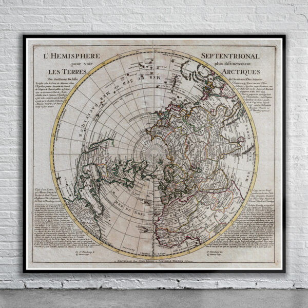
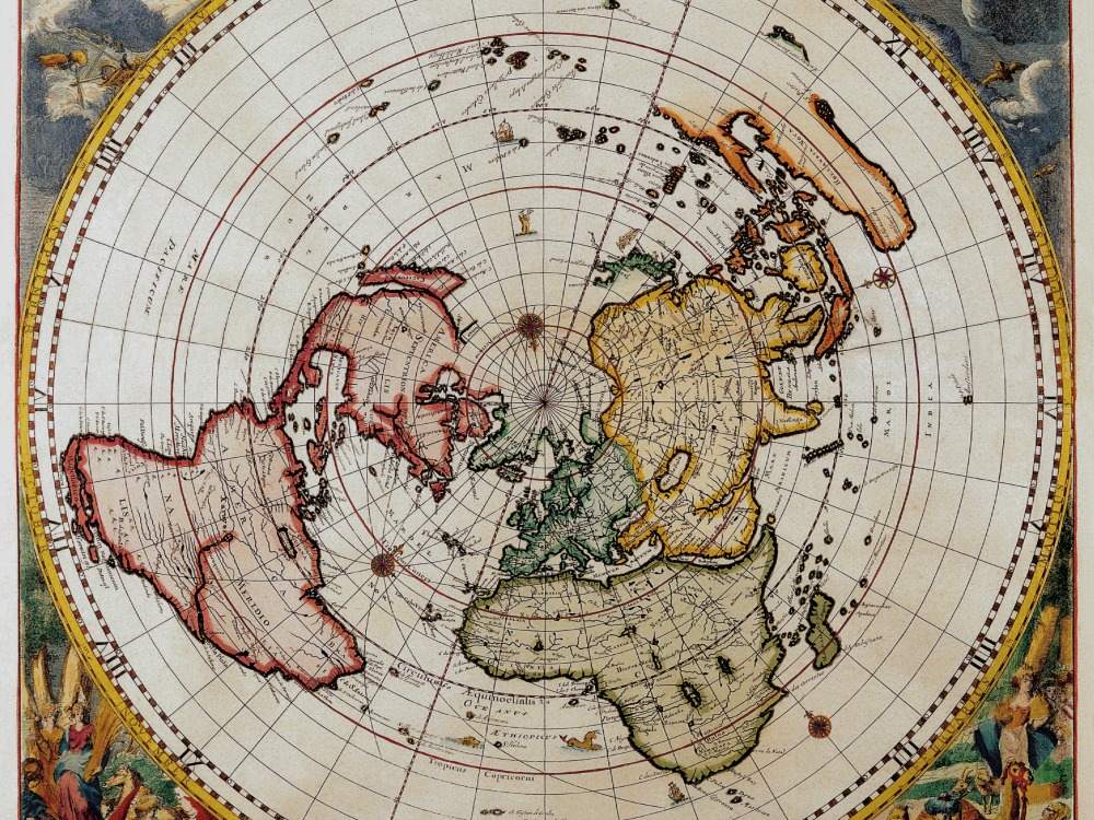
This magnificent world map on a single polar projection by Cornellis Dankertz is knows as “The Map from the Top of the World”.The map is presented in a circular form on the equidistant azimuthal projection created by Le Mayerne Turquet in 1648, in which the latitudes appear as equidistant concentric circles. In North America, only one Great Lake is depicted, and Nieu Nederland appears on the East Coast as opposed to New York, as it was renamed in 1644. California is shown as an island with a flat northern coastline. In South America, the two mythical lakes Parime Lacus and Xarayes are depicted. Parts of New Zealand and Tasmania are also shown.
- Stunning Full Colour Reproduction using the Most Advanced Technology Available
- Printed on Museum Matte Archival Paper 310gm
- Unique Conversation Piece for your Home or Business
- Frame not included