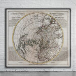
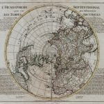
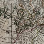
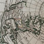
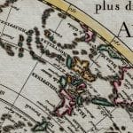
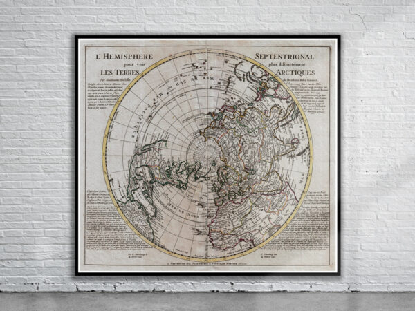
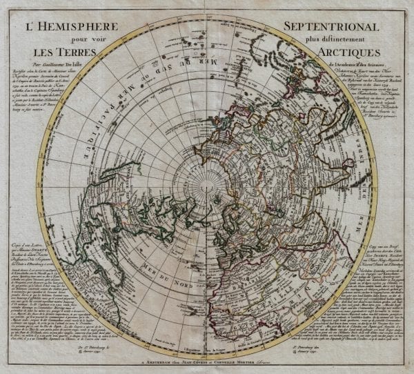
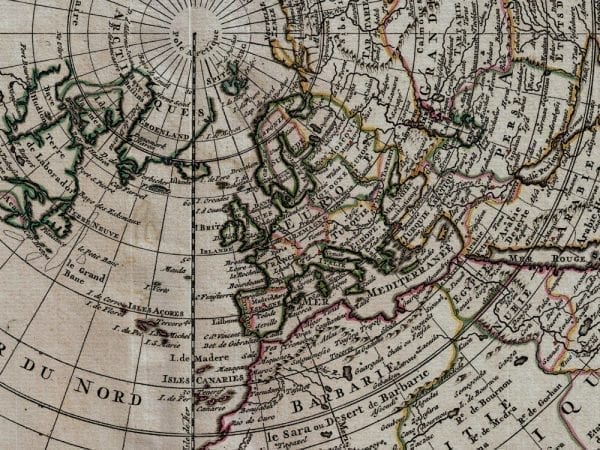
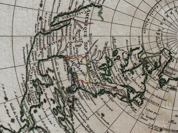
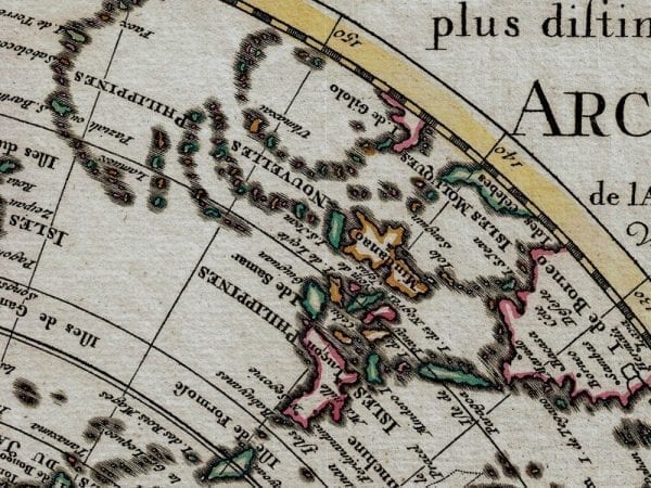
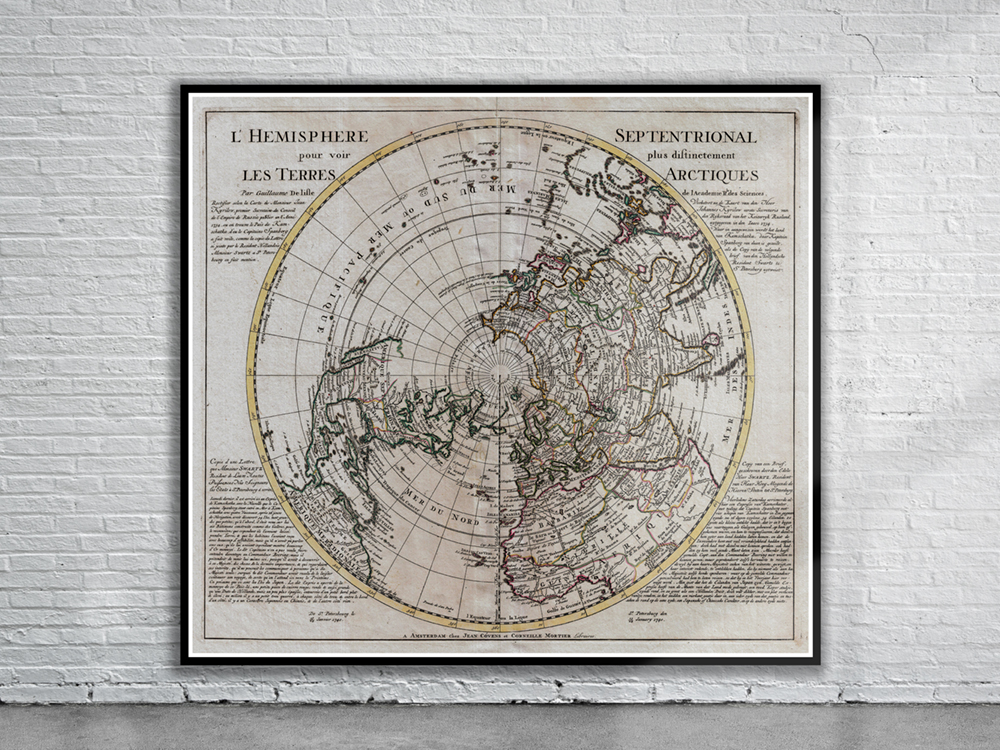
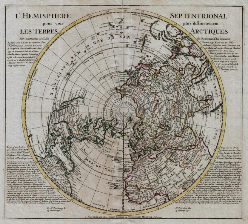
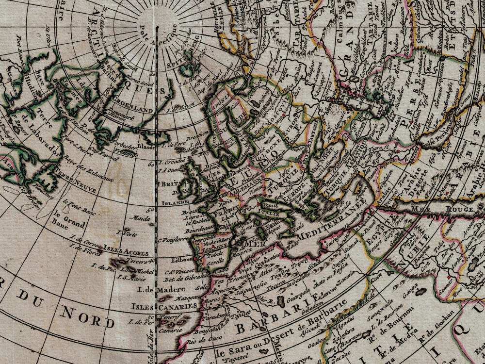
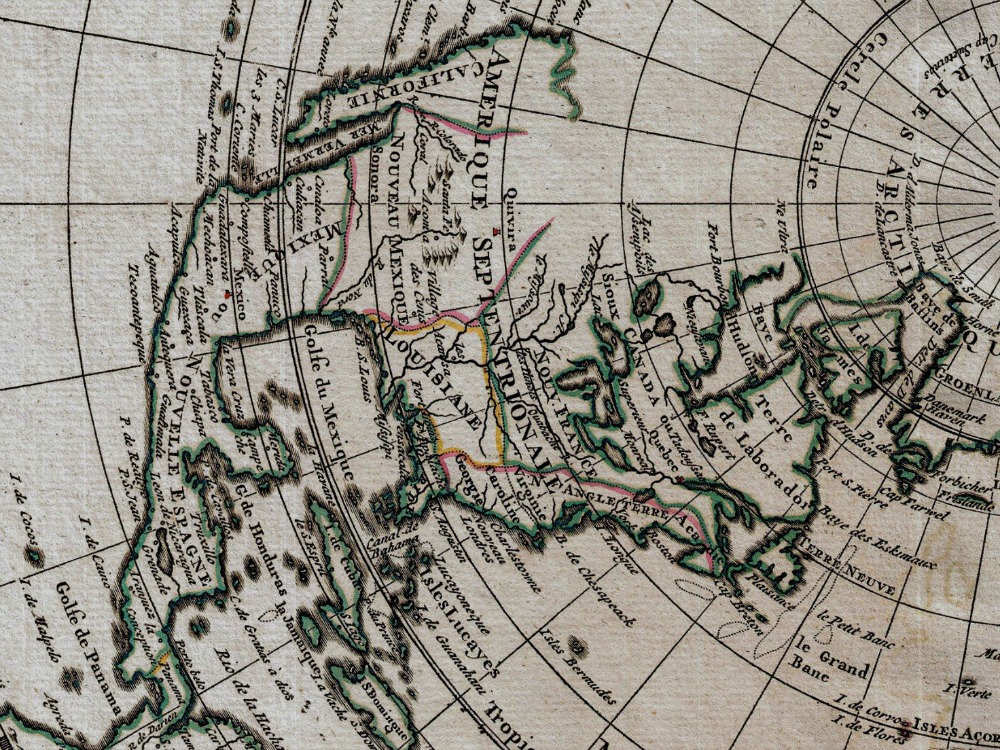
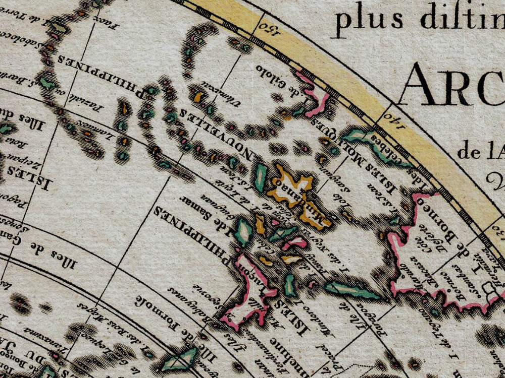
A stunning and important map of the Northern Hemisphere originally drawn by Guillaume de L’Isle in 1714 and updated by Coven’s and Mortier in 1741. The map is shown from the perspective of the North Pole south in all directions to include the Arctic Regions, all of North American, Central America, Asia, and Europe with parts of South America and most of Africa.
- Stunning Full Colour Reproduction using the Most Advanced Technology Available
- Printed on Museum Matte Archival Paper 310gm
- Unique Conversation Piece for your Home or Business
- Frame not included