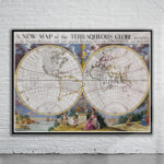
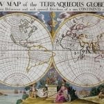

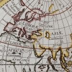
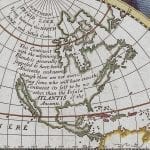
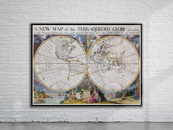
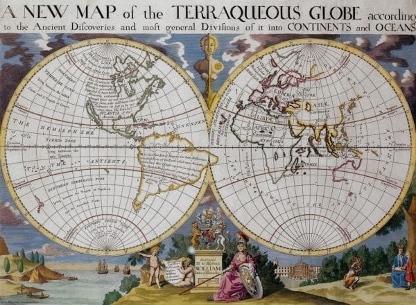


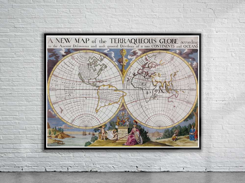
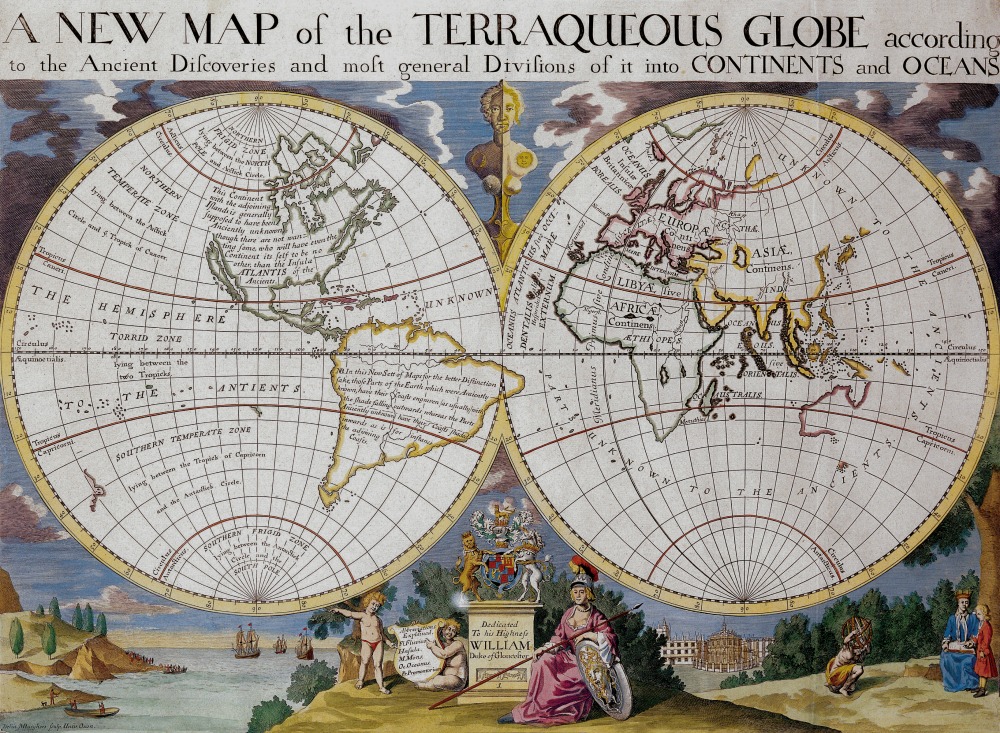
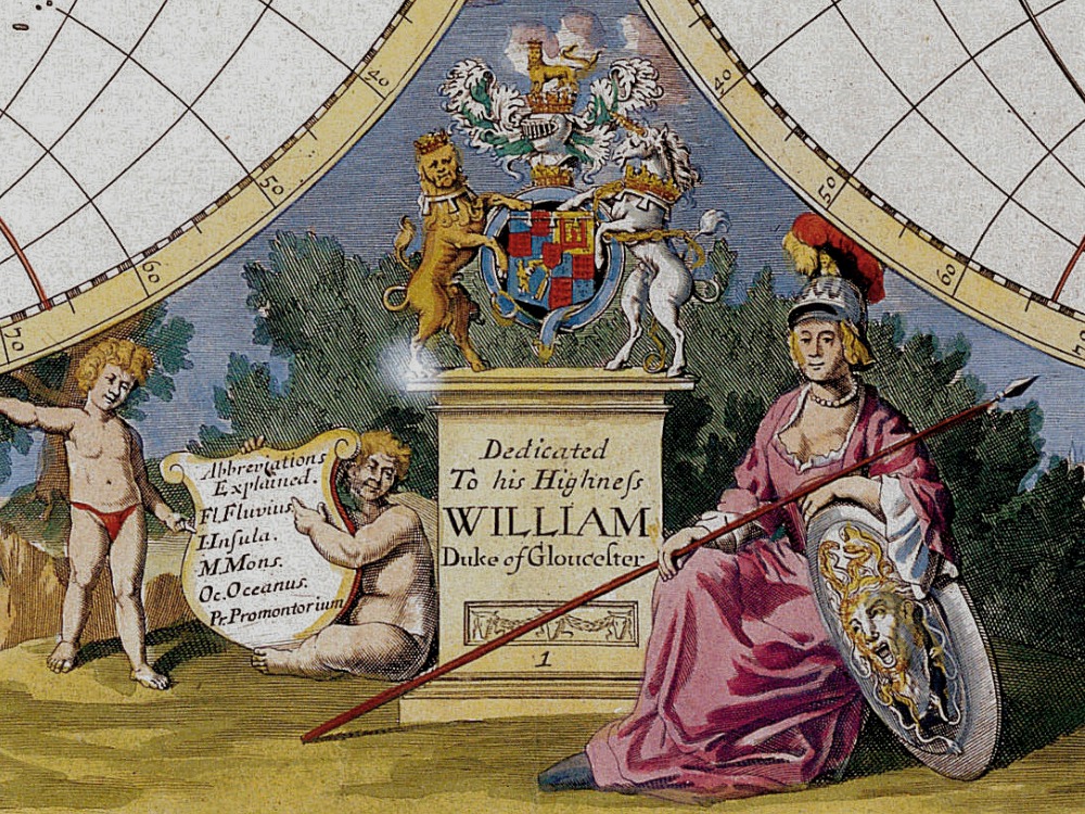
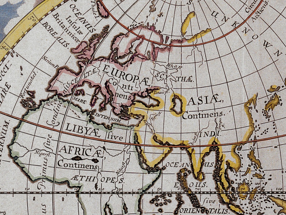
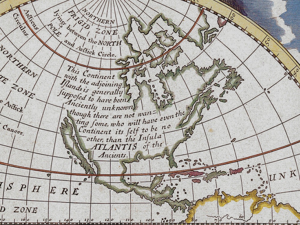
Edward Wells’s Map of the World from 1700 shows California as an Island, an incomplete New Holland attached to N. Guinea, partial New Zealand Coast line and no Southern Continent. A note in South America states “It was first found out by Columbus a Genovese about the Year 1490.”
- Stunning Full Colour Reproduction using the Most Advanced Technology Available
- Printed on Museum Matte Archival Paper 310gm
- Unique Conversation Piece for your Home or Business
- Frame not included