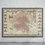
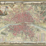
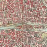


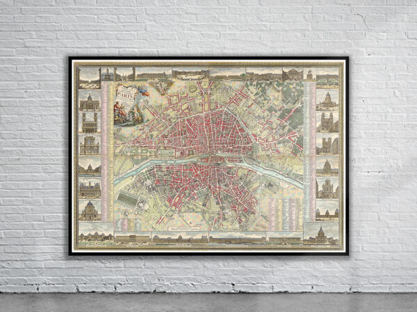

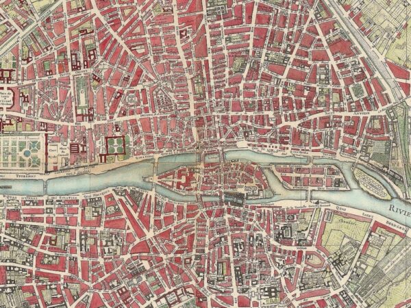
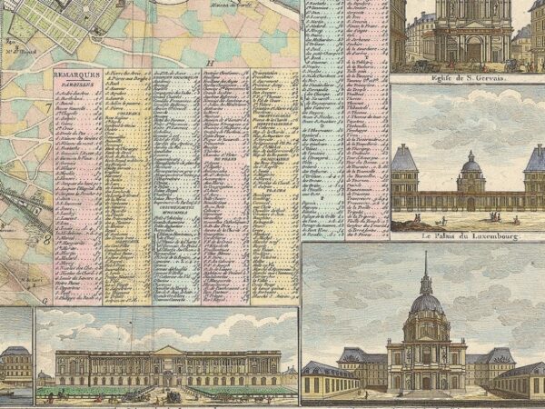

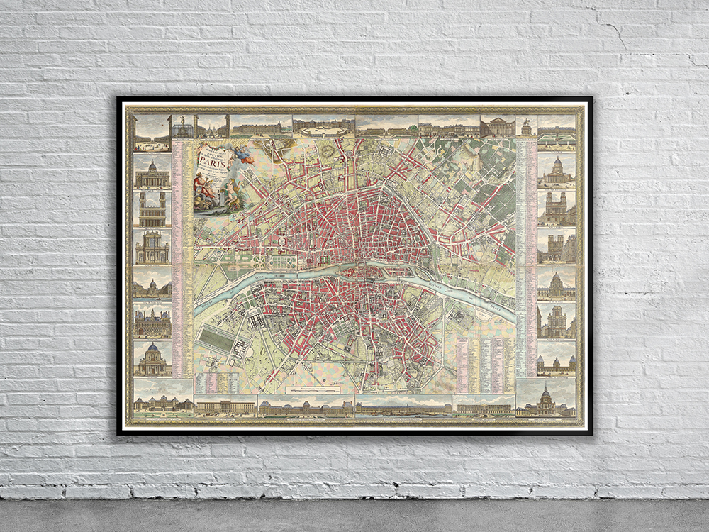
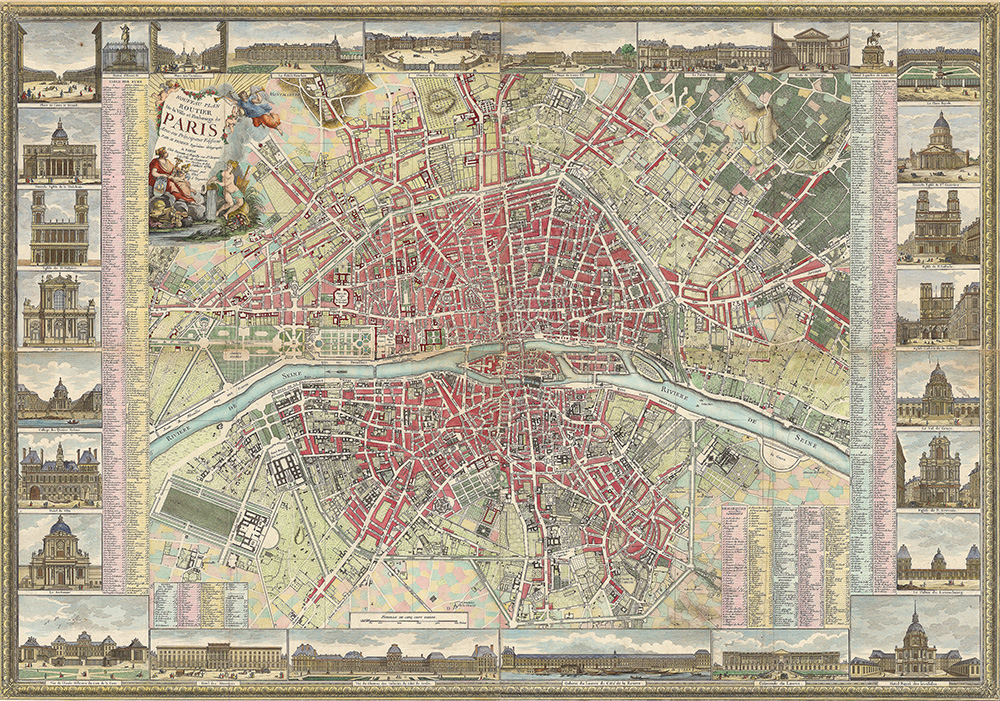
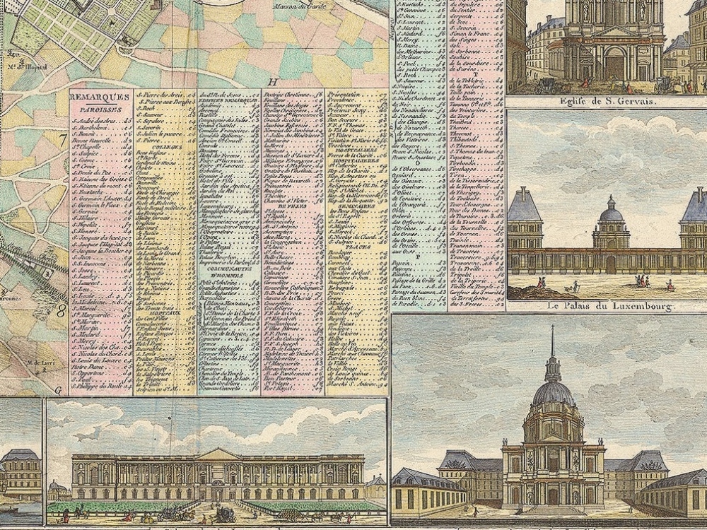
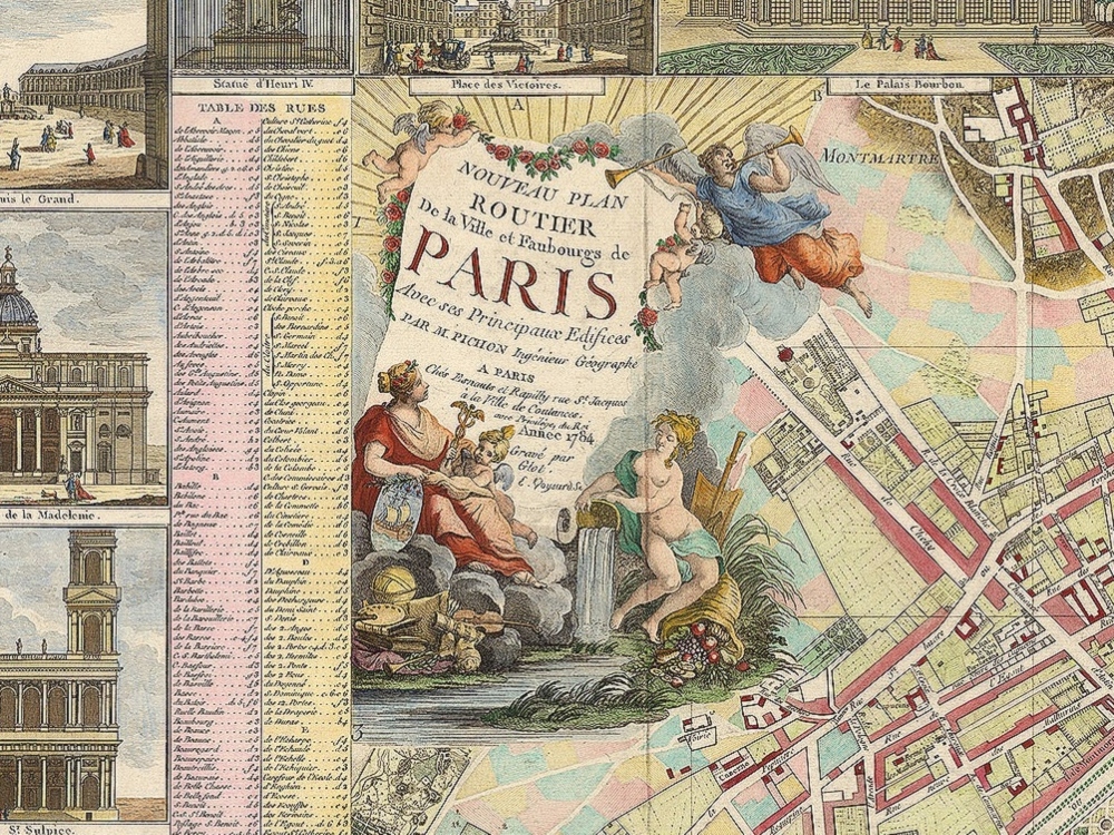
This stunning full color map of Paris is originally 4 maps amalgamated together here to form one. The map shows streets, parishes, colleges, hospitals, important buildings, landmarks, major squares and other points of interest. Around the perimeter are 28 images of landmarks in the city. The map was first published in 1784 by Esnauts and Rapilly.
- Stunning Full Colour Reproduction using the Most Advanced Technology Available
- Printed on Museum Matte Archival Paper 310gm
- Unique Conversation Piece for your Home or Business
- Frame not included