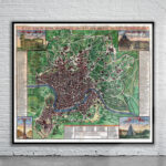
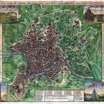
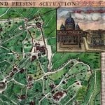

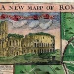
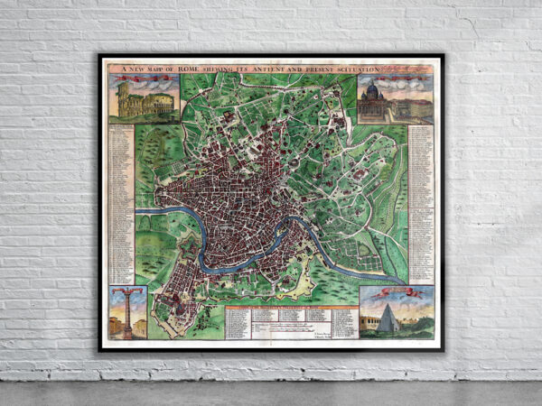
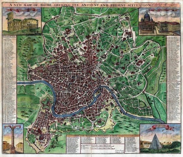
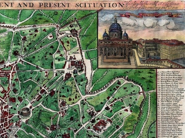
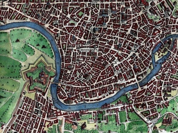
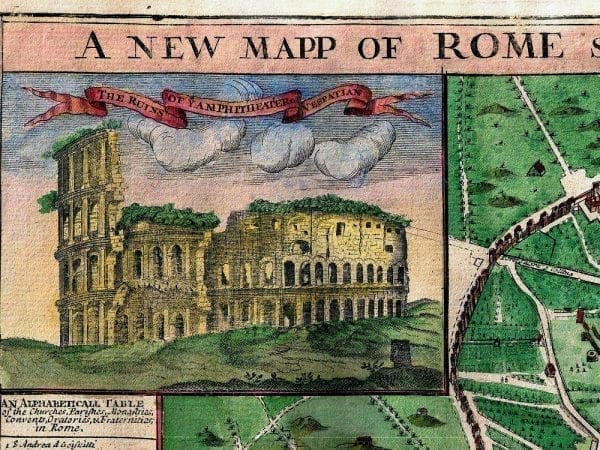
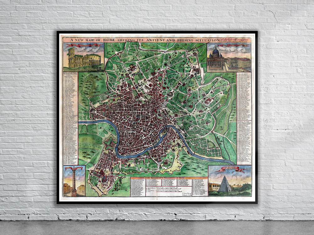
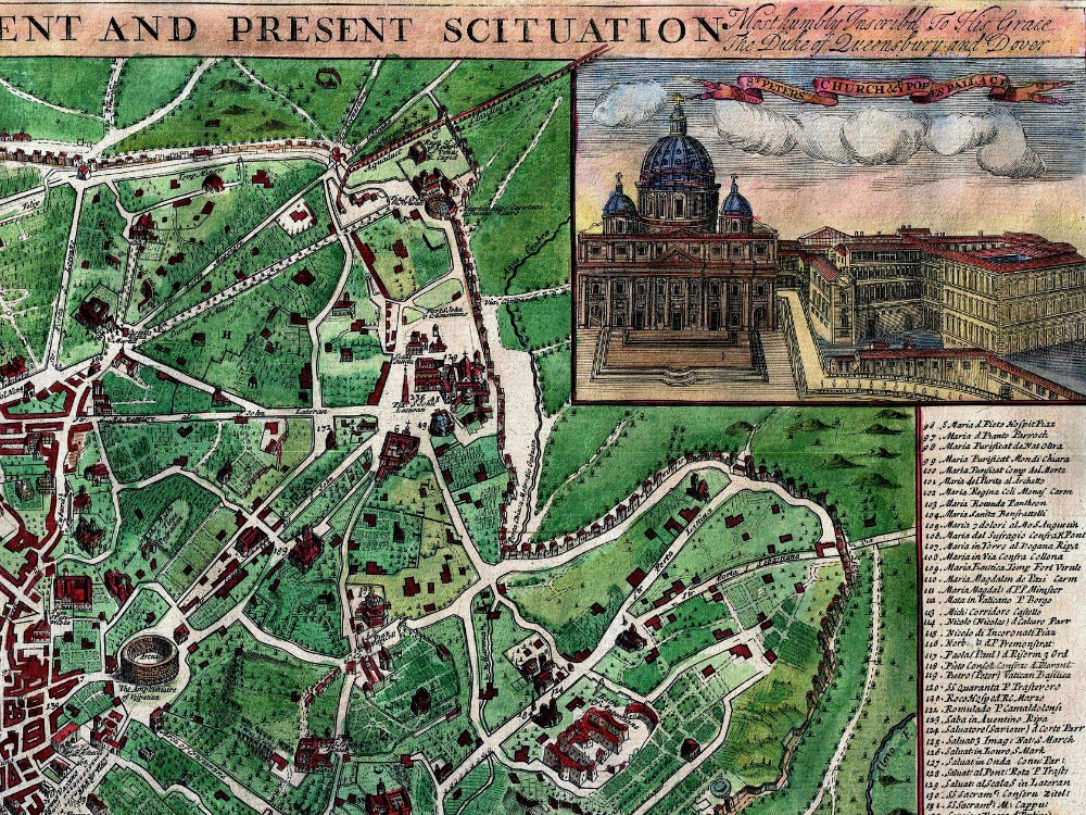
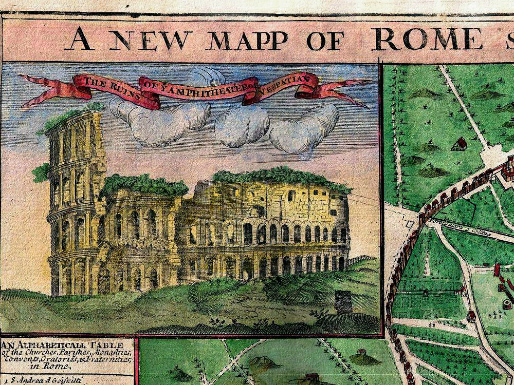
John Sennex’s 1721 map of Rome covering the city and surrounding countryside. Shows the Coliseum, the Vatican, the Pantheon, and various other monuments, monasteries, and churches. Each corner is decorated with an engraved image of an important Roman monument, including the Ruins of The Amphitheater of Vespatian, St. Peter’s Church & The Pope’s Palace, Trajan’s Pillar, and the pyramidal Sepulcher of Caijus Cestus.
- Stunning Full Colour Reproduction using the Most Advanced Technology Available
- Printed on Museum Matte Archival Paper 310gm
- Unique Conversation Piece for your Home or Business
- Frame not included