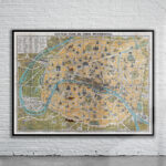
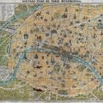
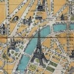
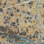
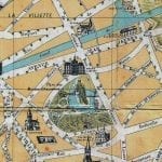
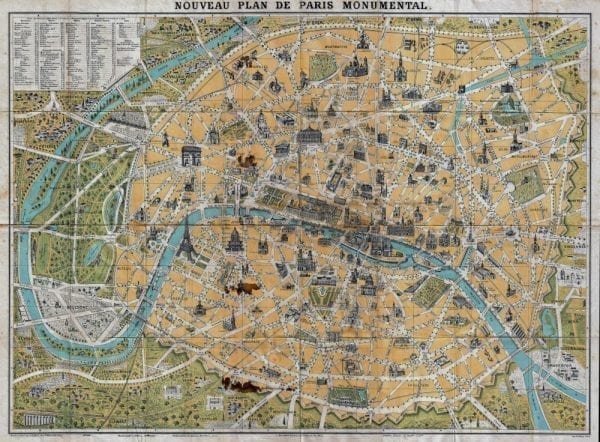
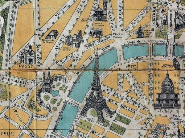
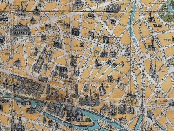
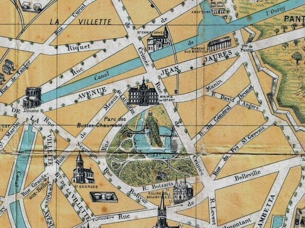
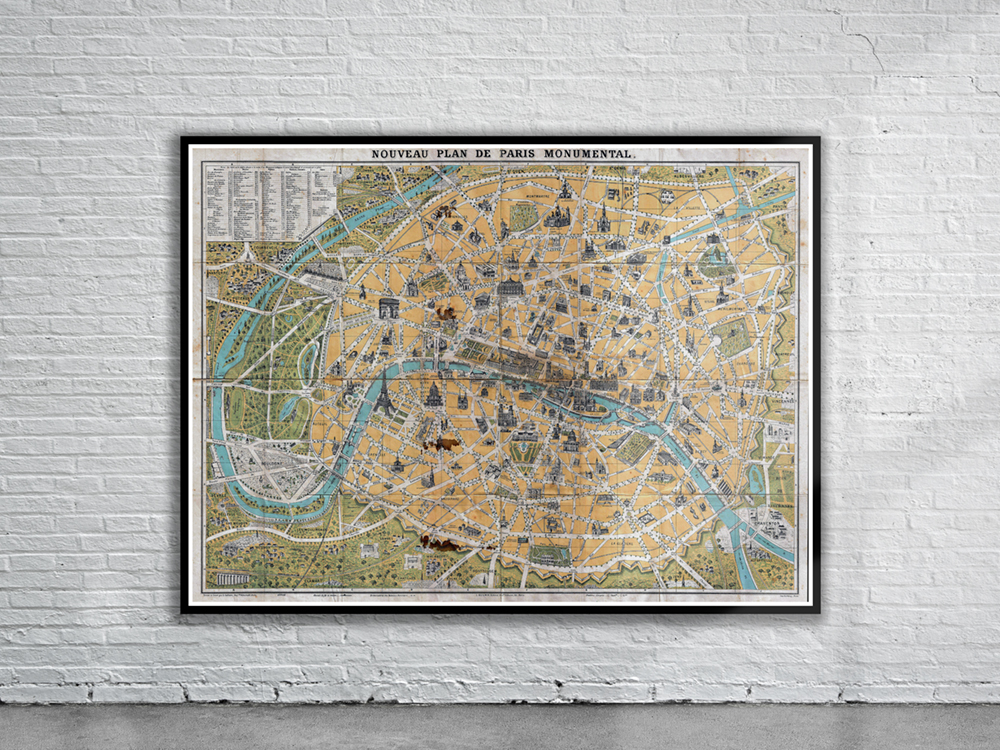
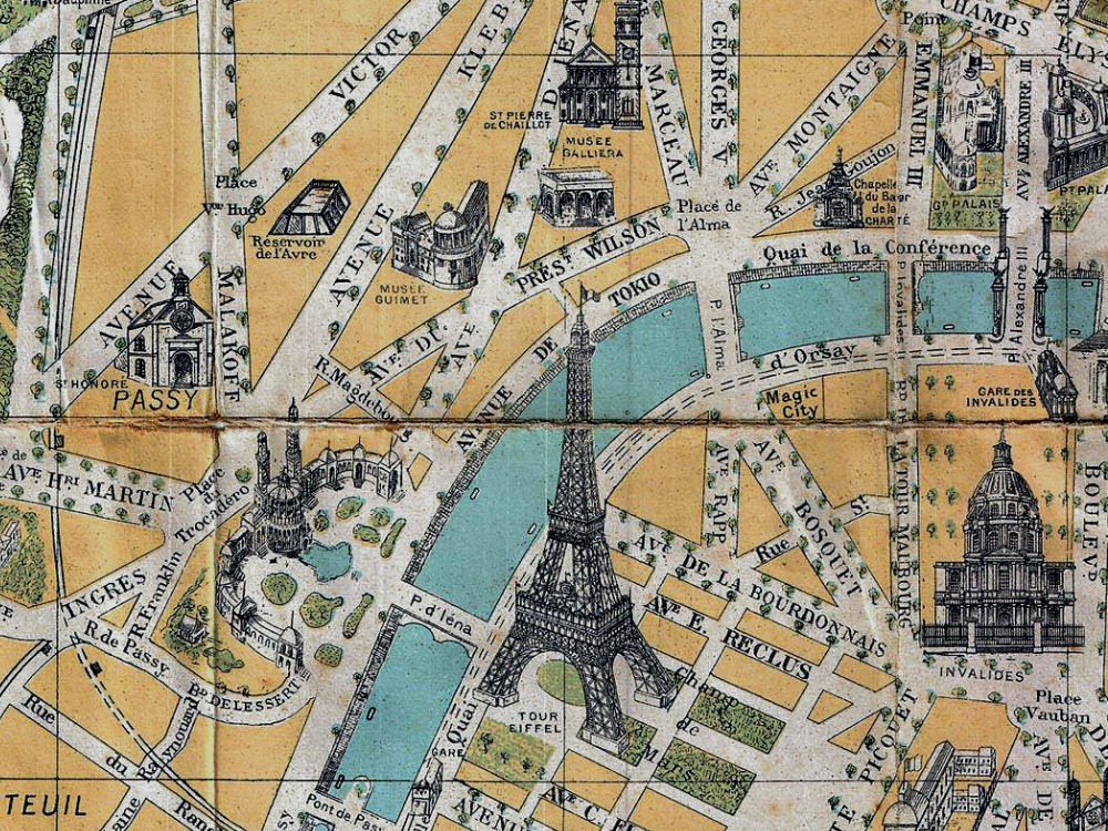
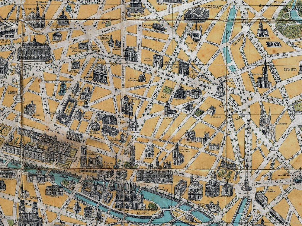
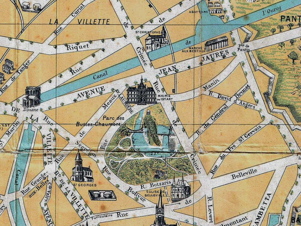
Guilmin colourful map of Paris, France. It covers the old walled city of Paris and the immediate vicinity. Important buildings are shown in profile. All major streets are identified. The map identifies numerous buildings and a number of surrounding communities and gardens, including the Bois de Boulogne.
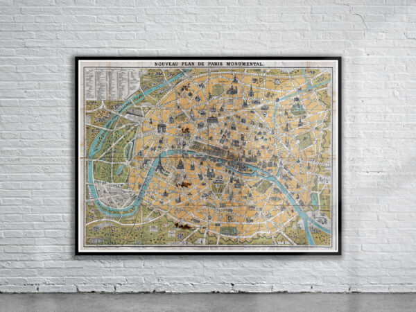
- Stunning Full Colour Reproduction using the Most Advanced Technology Available
- Printed on Museum Matte Archival Paper 310gm
- Unique Conversation Piece for your Home or Business
- Frame not included