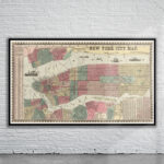
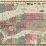
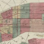
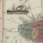
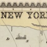
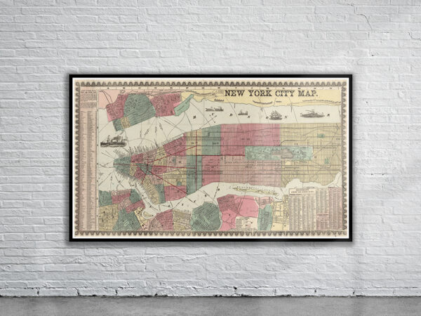
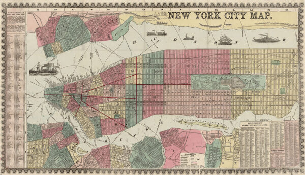
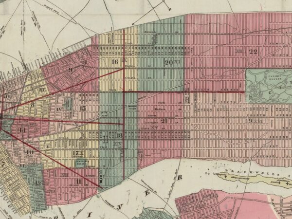
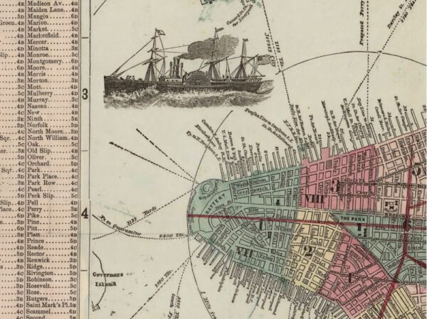
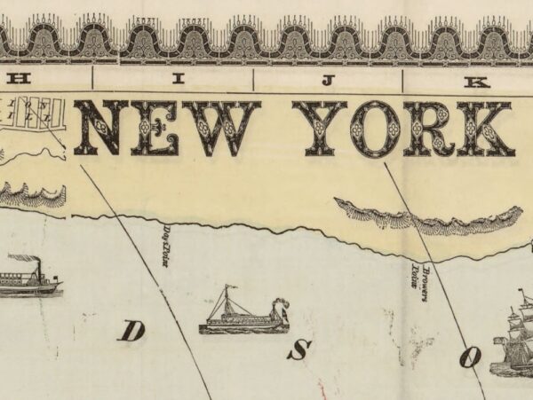
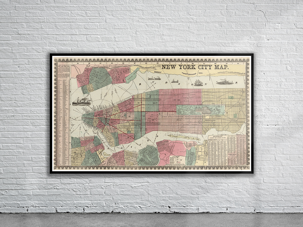
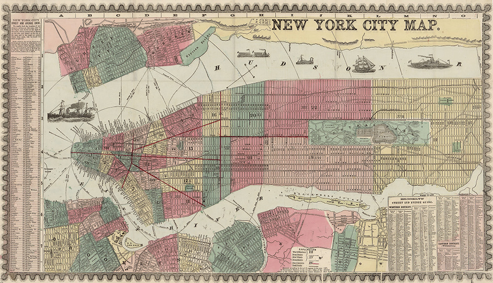
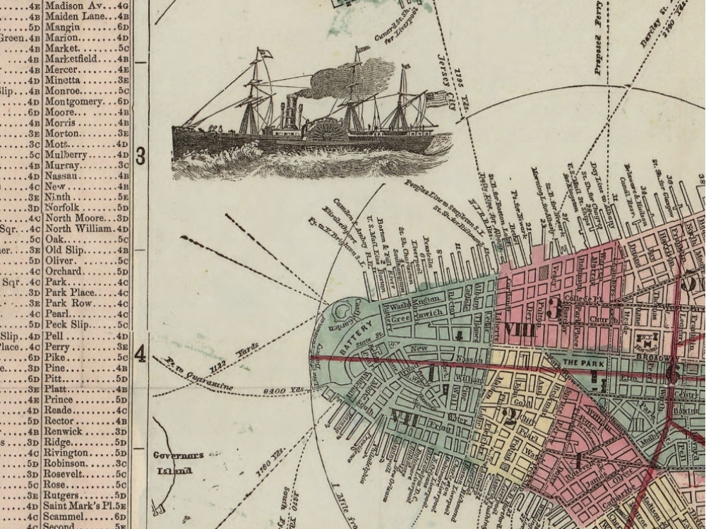
Miller’s New Map of the City of New York. The map covers New York City (Manhattan) south of 132nd Street. It also shows 1-mile radial distances from City Hall. Also covers part of Brooklyn (N.Y.), Jersey City (N.J.), and Hoboken (N.J.).
- Stunning Full Colour Reproduction using the Most Advanced Technology Available
- Printed on Museum Matte Archival Paper 310gm
- Unique Conversation Piece for your Home or Business
- Frame not included