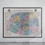

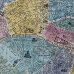


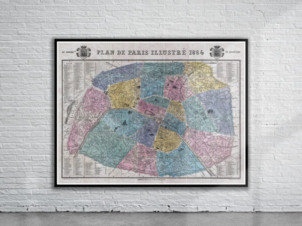
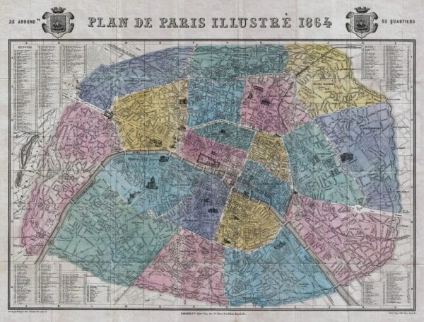
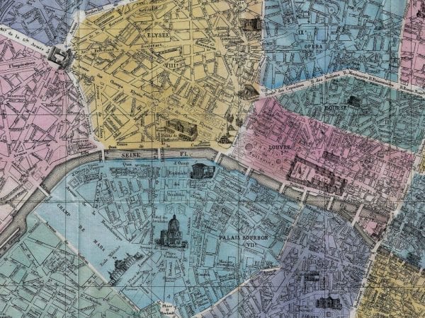
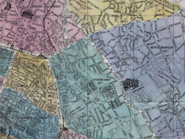
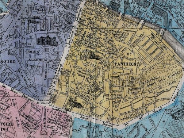
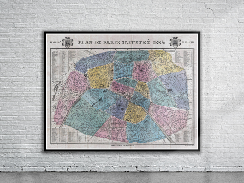
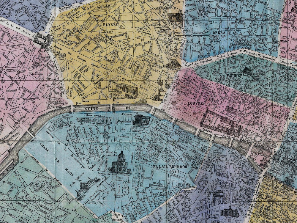
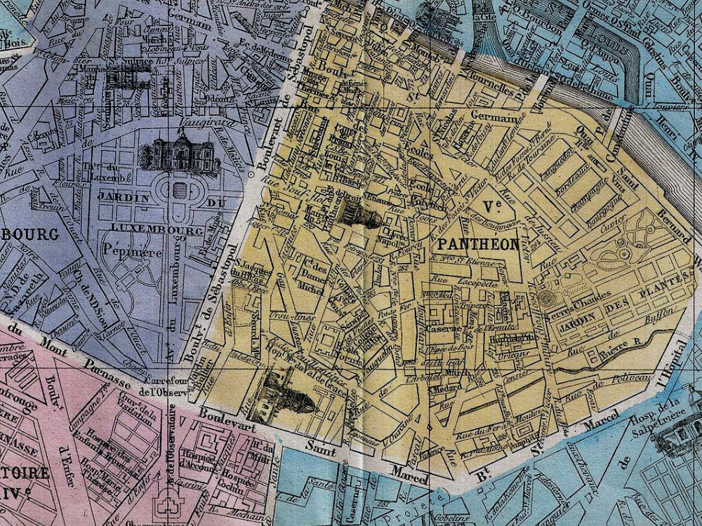
Beautiful full coloured map of Paris, France issued in 1864 by the Garnier Freres. It covers the old walled city of Paris and the immediate vicinity. Important buildings are shown in profile. All major streets are identified. The map is colour coded according to arrondissements. The four corners are occupied by a street index. The Coat of Arms of Paris appears in the upper right and left quadrants.
- Stunning Full Colour Reproduction using the Most Advanced Technology Available
- Printed on Museum Matte Archival Paper 310gm
- Unique Conversation Piece for your Home or Business
- Frame not included
