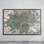
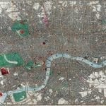
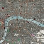
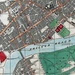
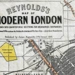
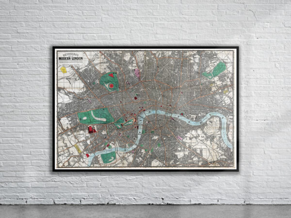
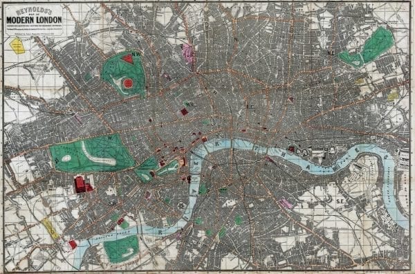
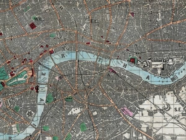
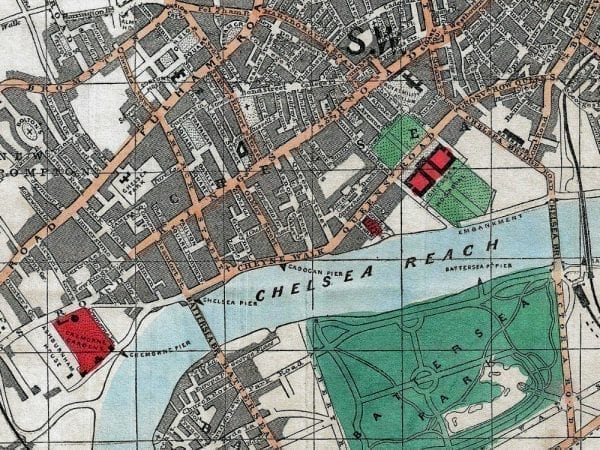
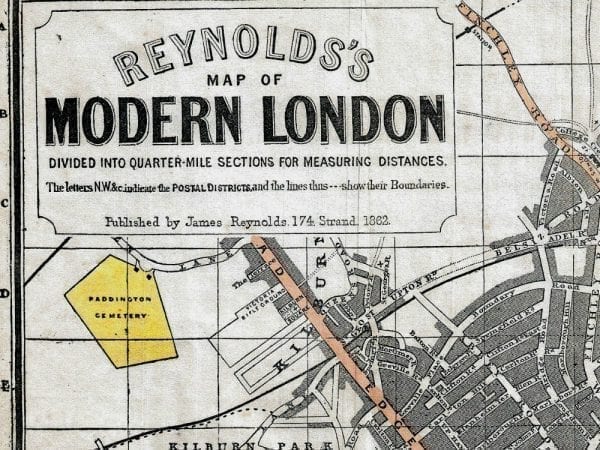
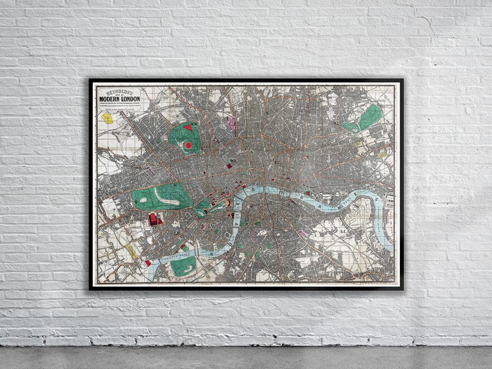
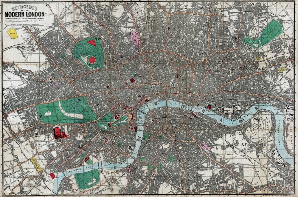
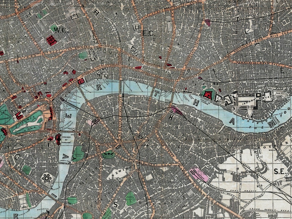
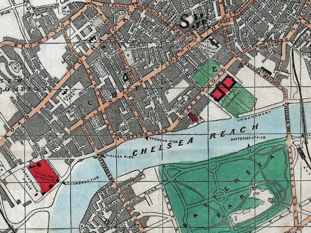
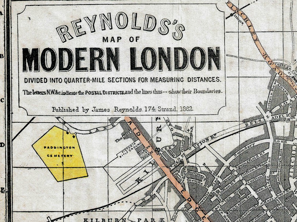
Reynolds’s Map of Modern London Divided into Quarter-Mile Sections for Measuring Distances. It covers the center of London from Notting Hill to the Isle of Dogs and from Kentish Town to Battersea Park. Details every park, train station, bridge, monument, pier, and government building. Tourist destinations such as the Botanical Gardens, the Zoo, Buckingham Palace, the Tower of London, and the British Museum are highlighted in red.
- Stunning Full Colour Reproduction using the Most Advanced Technology Available
- Printed on Museum Matte Archival Paper 310gm
- Unique Conversation Piece for your Home or Business
- Frame not included