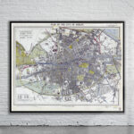
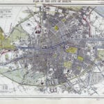
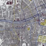
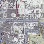
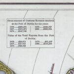
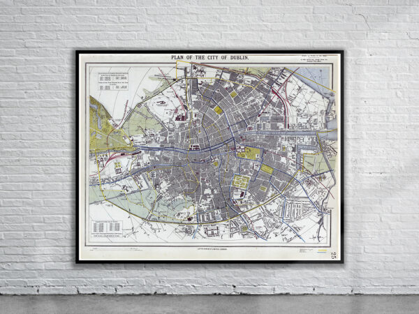
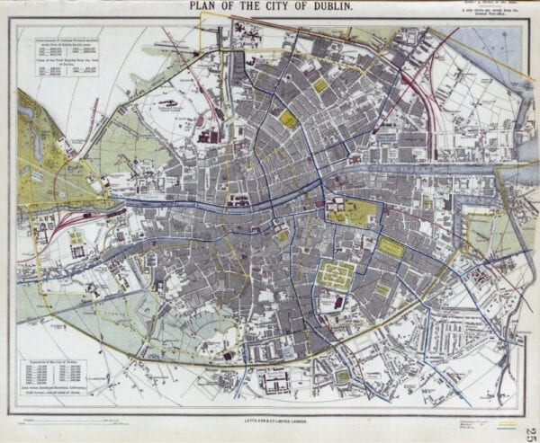
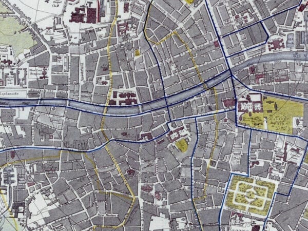
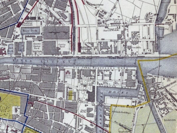
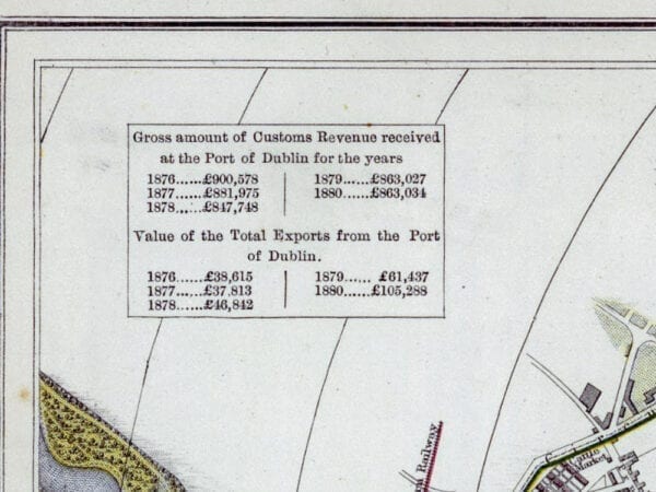
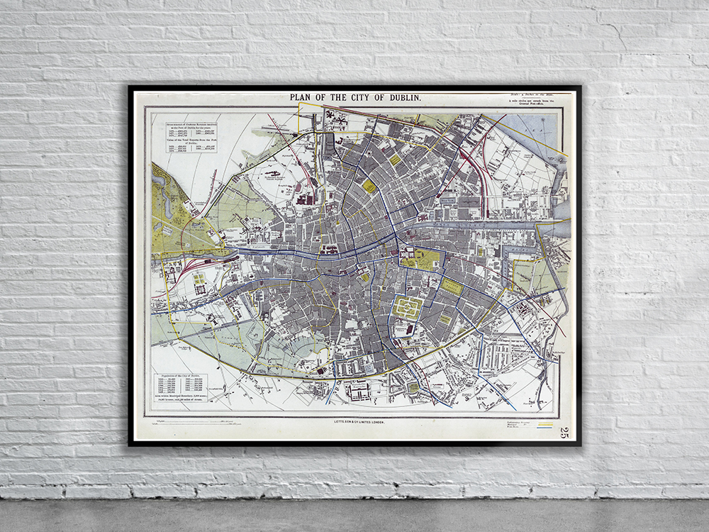
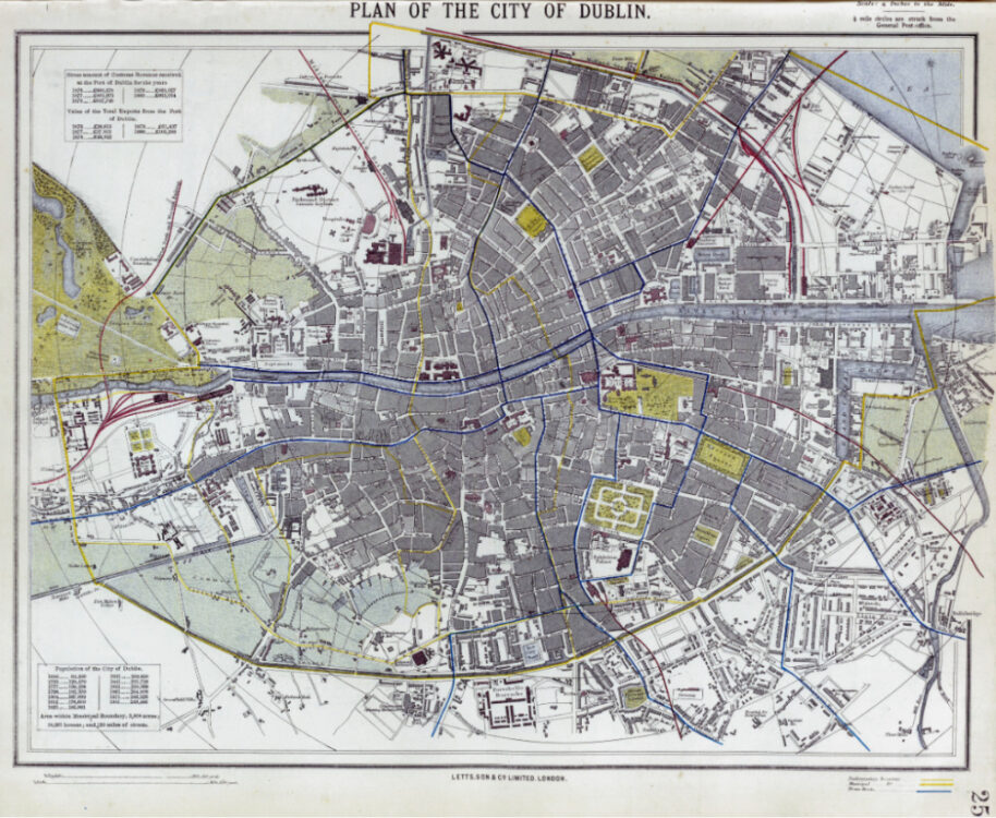
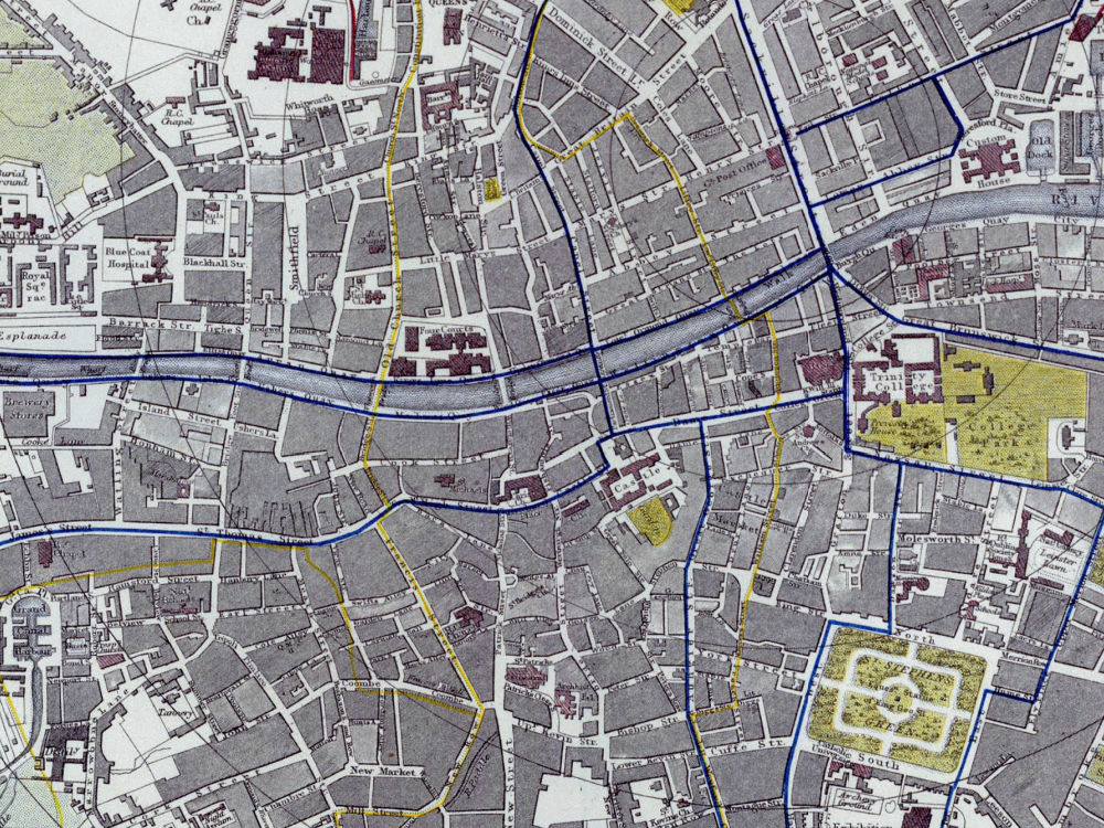
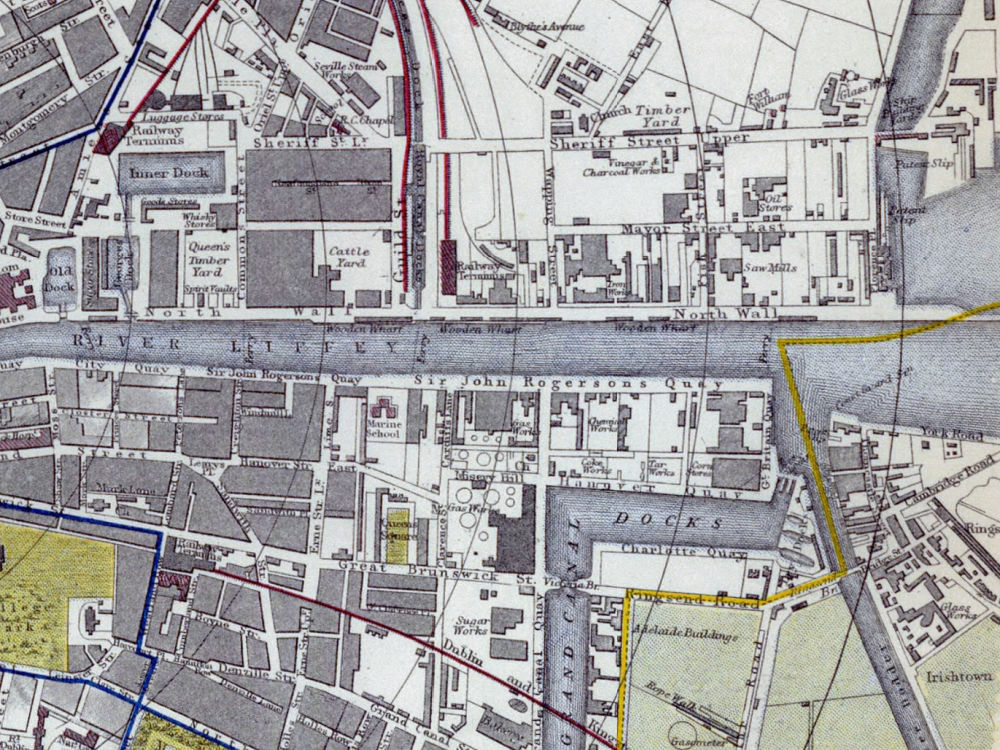
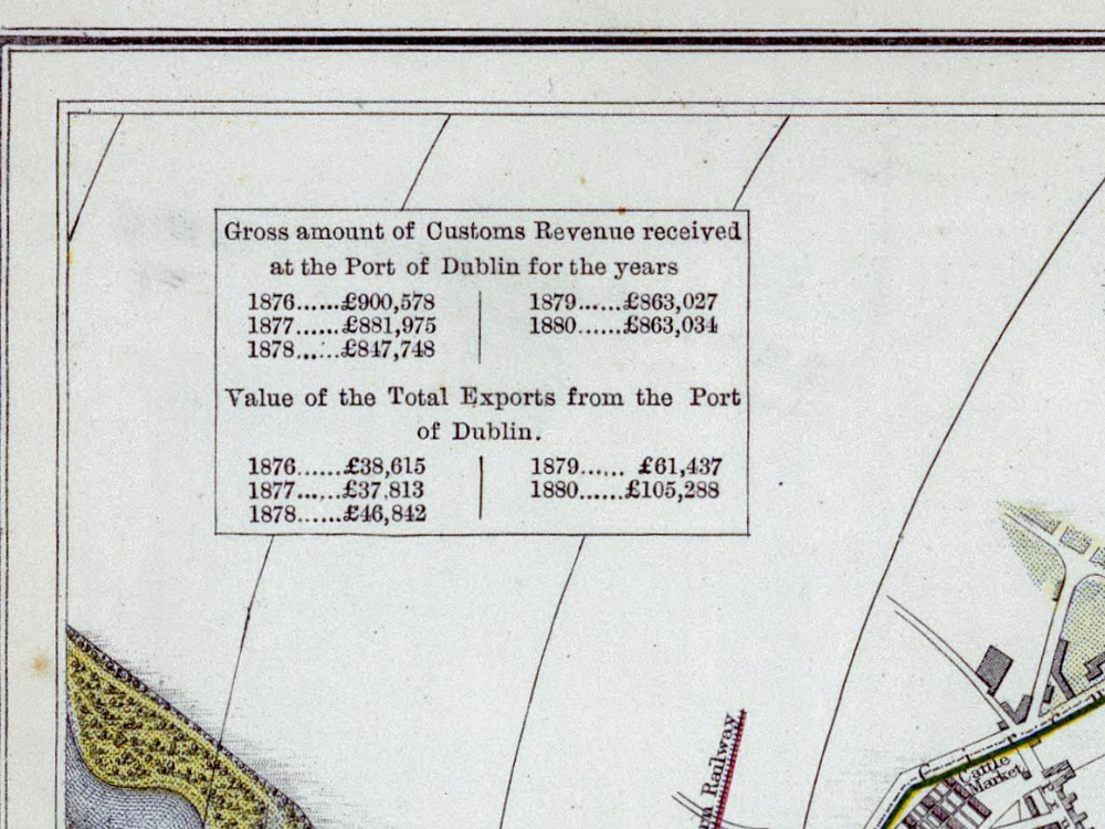
Letts & Son’s coloured map of Dublin from 1882. The Map depicts streets, buildings, parks, municipal and parliamentary boundaries and tram routes Also shown are two tables showing the value of imports and exports that flowed through the Custom House in the preceding years.
- Stunning Full Colour Reproduction using the Most Advanced Technology Available
- Printed on Museum Matte Archival Paper 310gm
- Unique Conversation Piece for your Home or Business
- Frame not included