
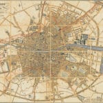
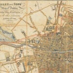
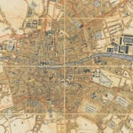
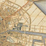
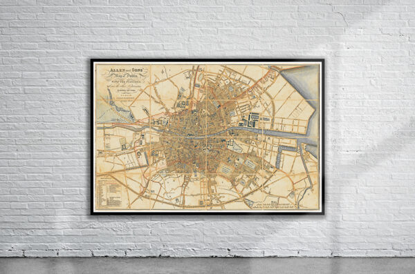
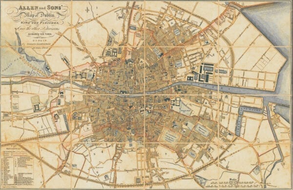
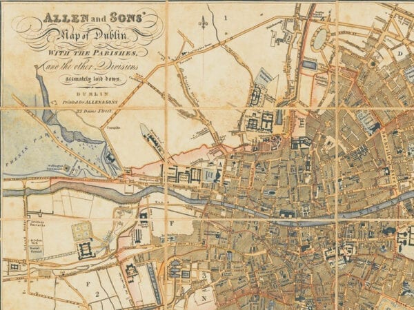
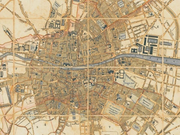

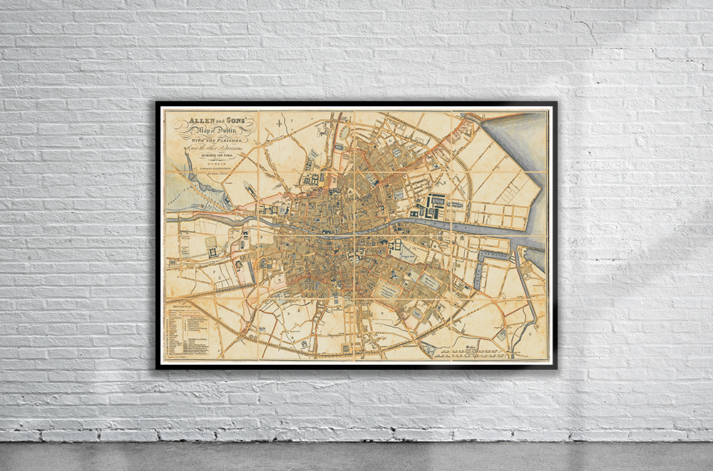
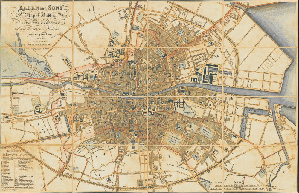
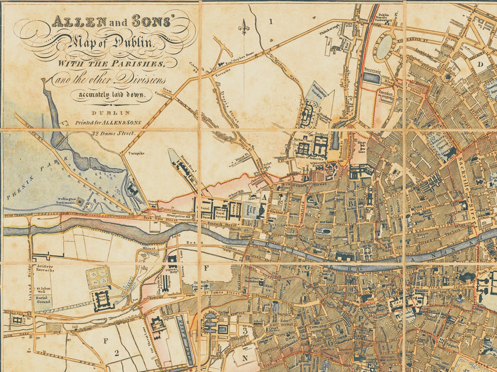
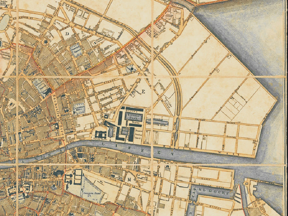
William Allen & Sons Map of Dublin from 1824. The Map depicts Georgian Dublin with all major public buildings, including Trinity College, the Royal Hospital, the Custom’s House and Dublin Castle shown.
- Stunning Full Colour Reproduction using the Most Advanced Technology Available
- Printed on Museum Matte Archival Paper 310gm
- Unique Conversation Piece for your Home or Business
- Frame not included