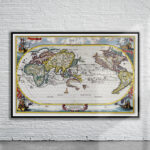
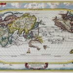
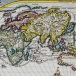
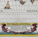
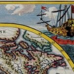
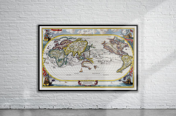
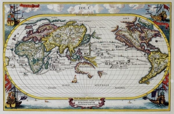
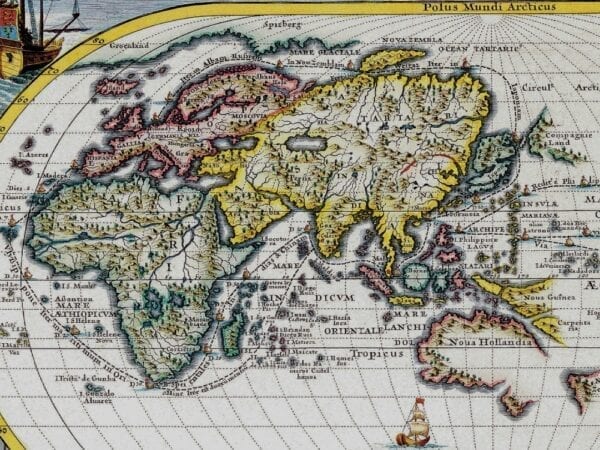
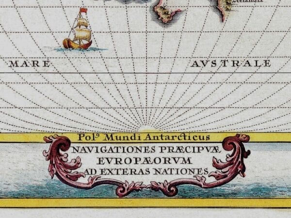
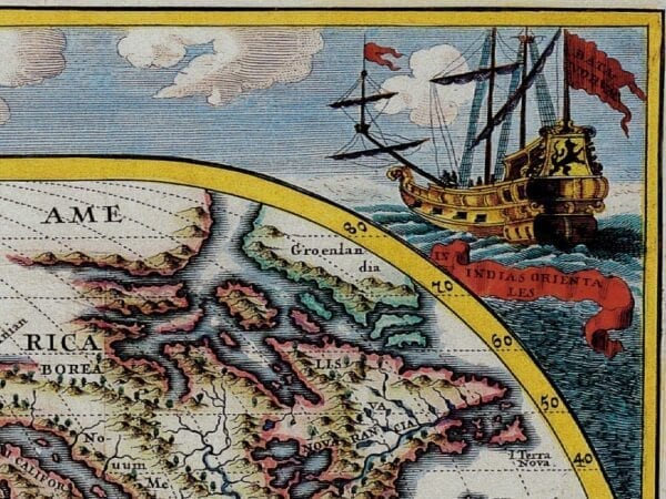
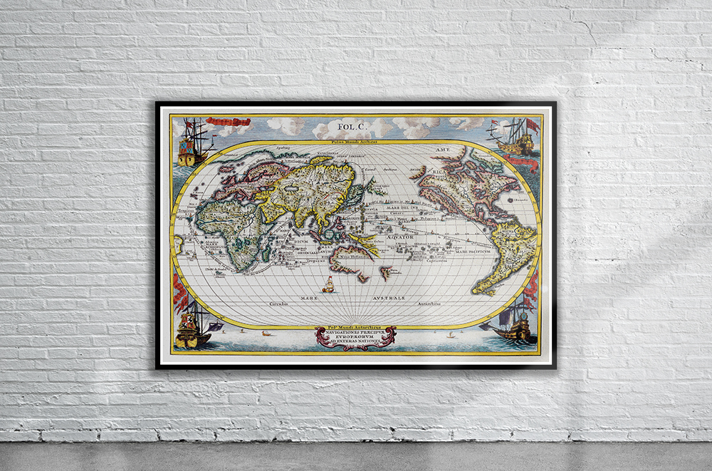
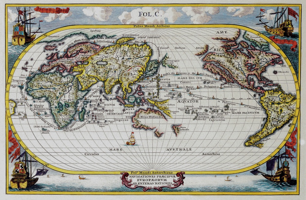
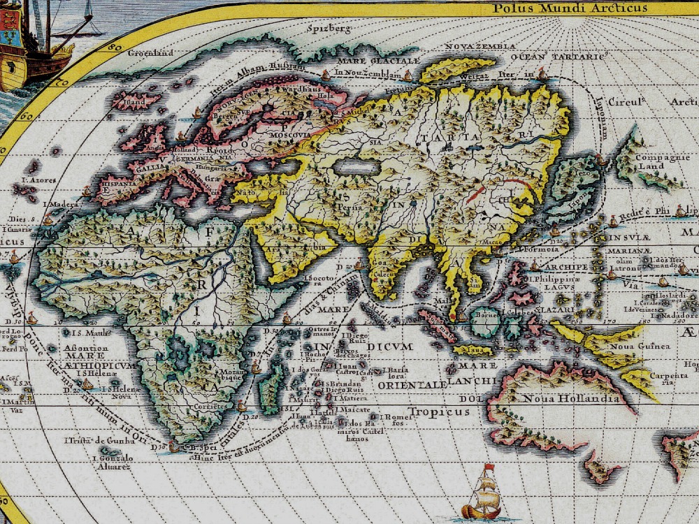
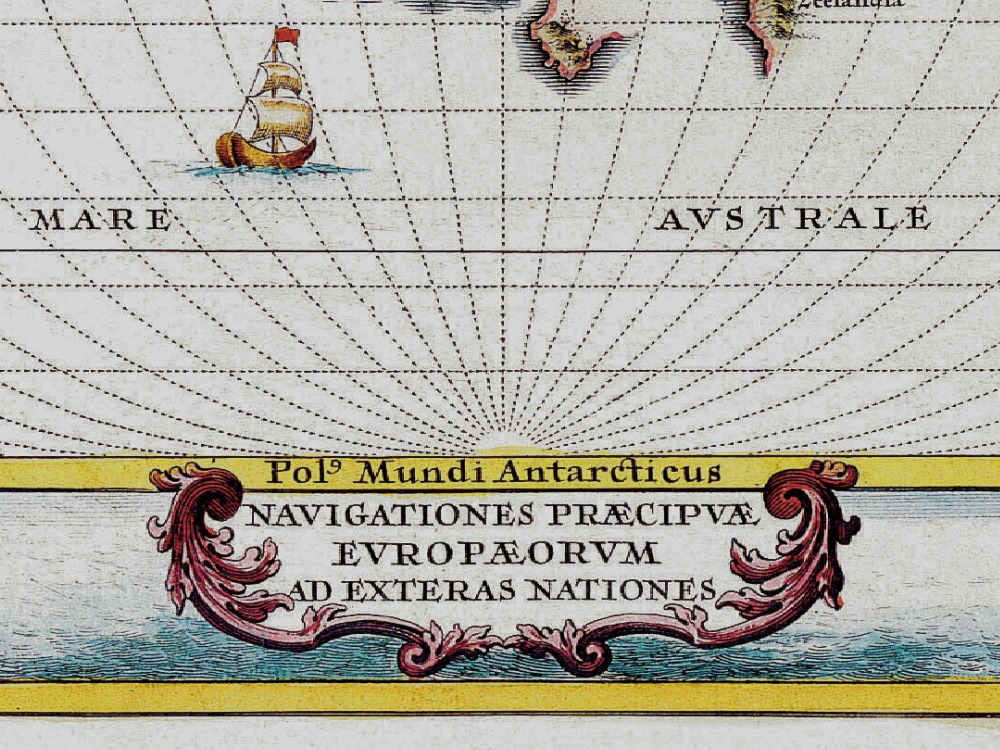
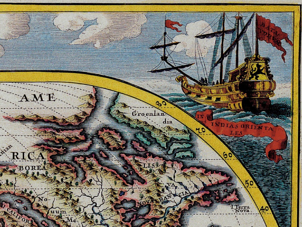
This map is from the series produced by Scherer who was a mathematics professor and devout Jesuit. It shows the sailing routes to the East Indies across the Pacific, around the Cape of Good Hope, and around a Northeast Passage to Japan. The corners of the map are richly decorated with sailing ships representing the major European powers: Britain, Holland, France and Spain.
- Stunning Full Colour Reproduction using the Most Advanced Technology Available
- Printed on Museum Matte Archival Paper 310gm
- Unique Conversation Piece for your Home or Business
- Frame not included