


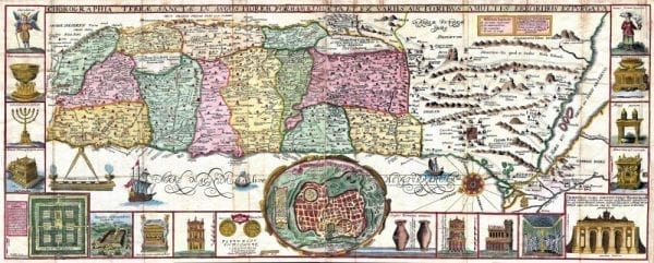

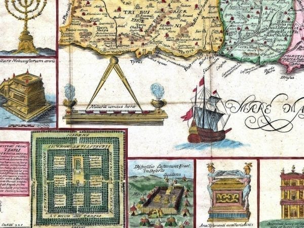

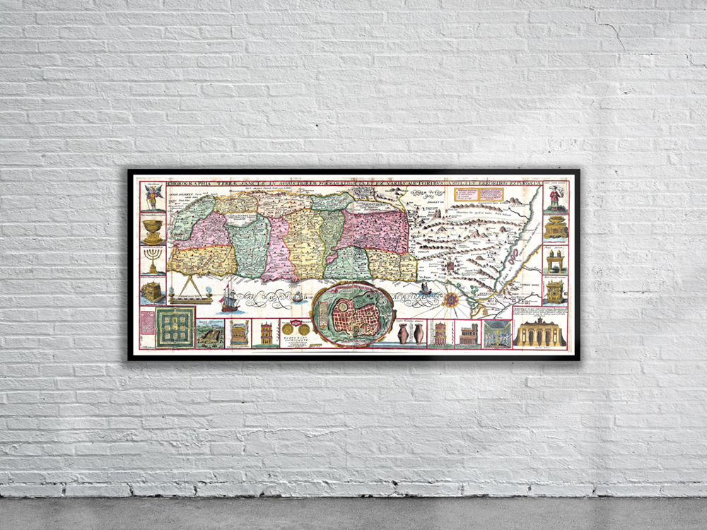
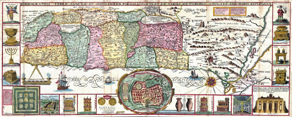
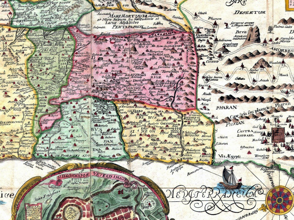
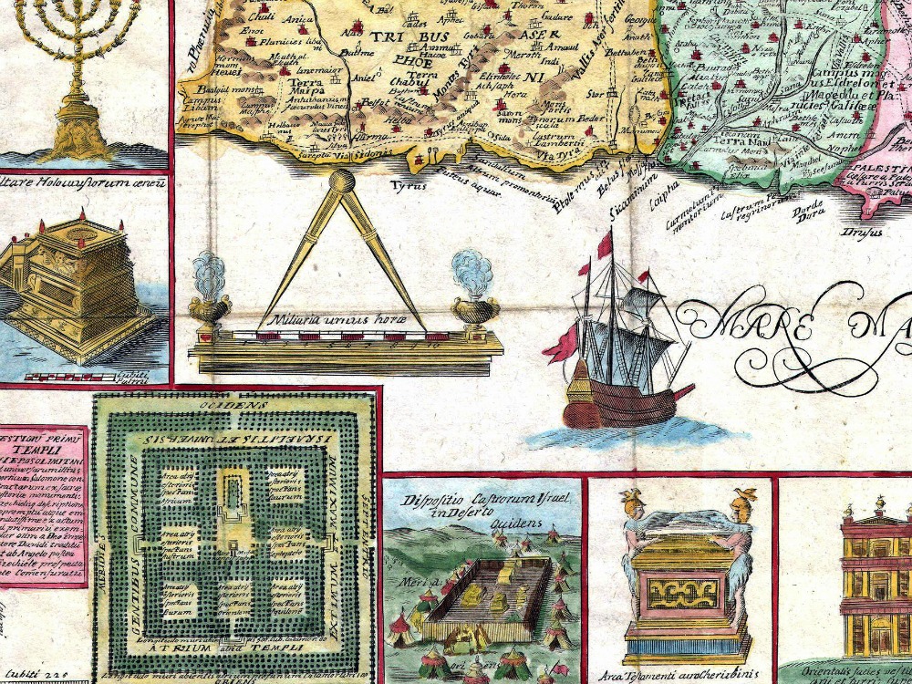
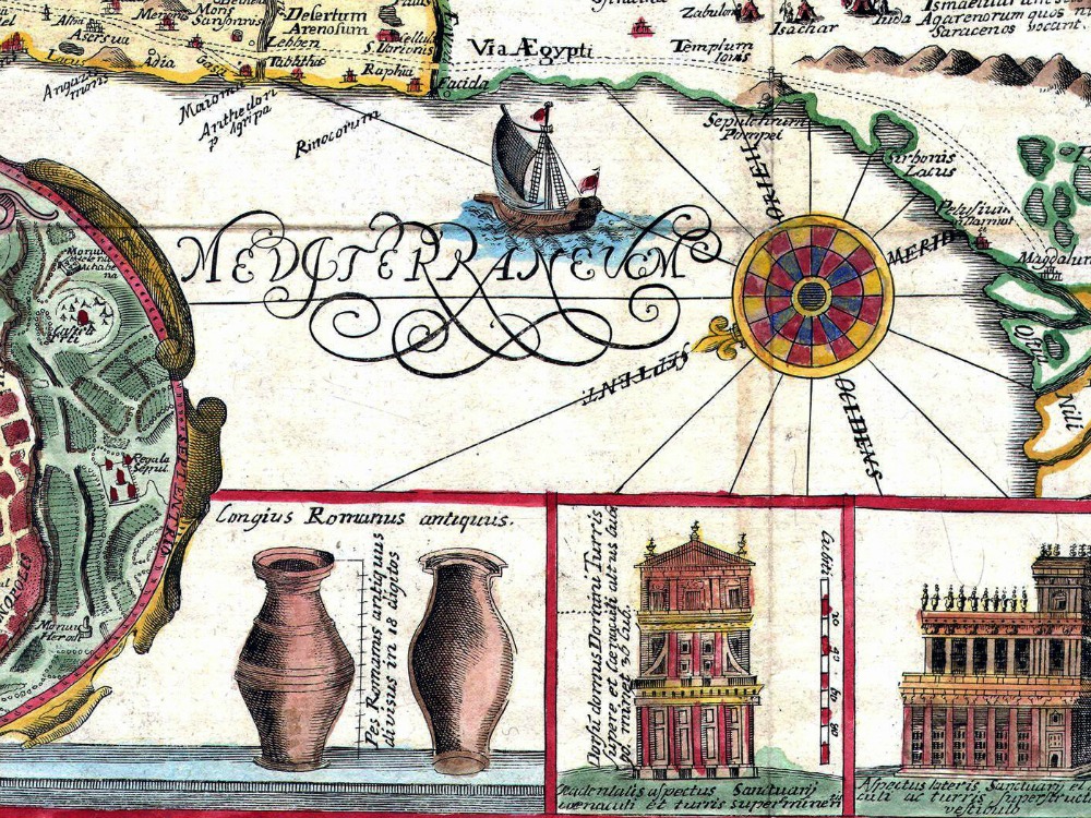
Stunning 1632 map of the Holy Land by the Jesuit monk Jacobus Tirinus. Oriented to the east, map depicts from Syria and Tyre southward as far as the Sinai, Egypt and Thebes. Surrounding the map proper on the left, right, and bottom margins, there are 19 maps and images of Biblical objects. The largest and most central of these is a stunning inset of Jerusalem.
- Stunning Full Colour Reproduction using the Most Advanced Technology Available
- Printed on Museum Matte Archival Paper 310gm
- Unique Conversation Piece for your Home or Business
- Frame not included
