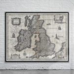
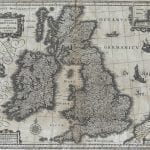
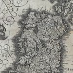
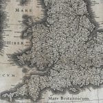
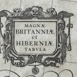
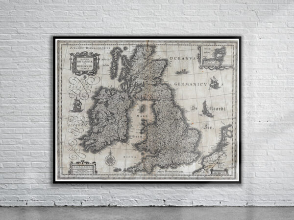
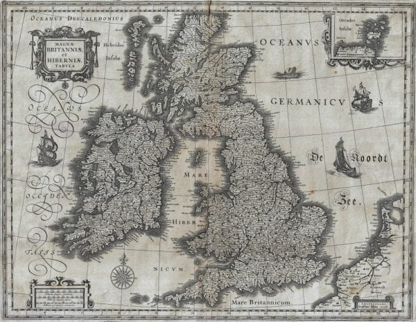
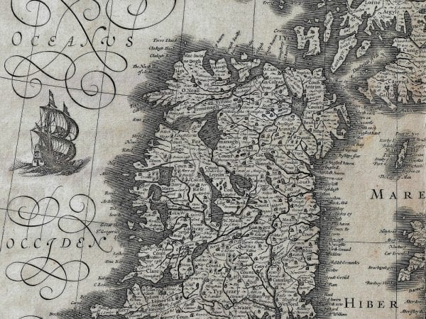

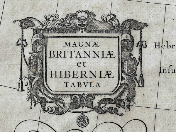
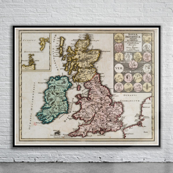
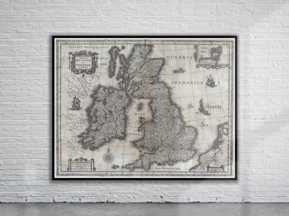
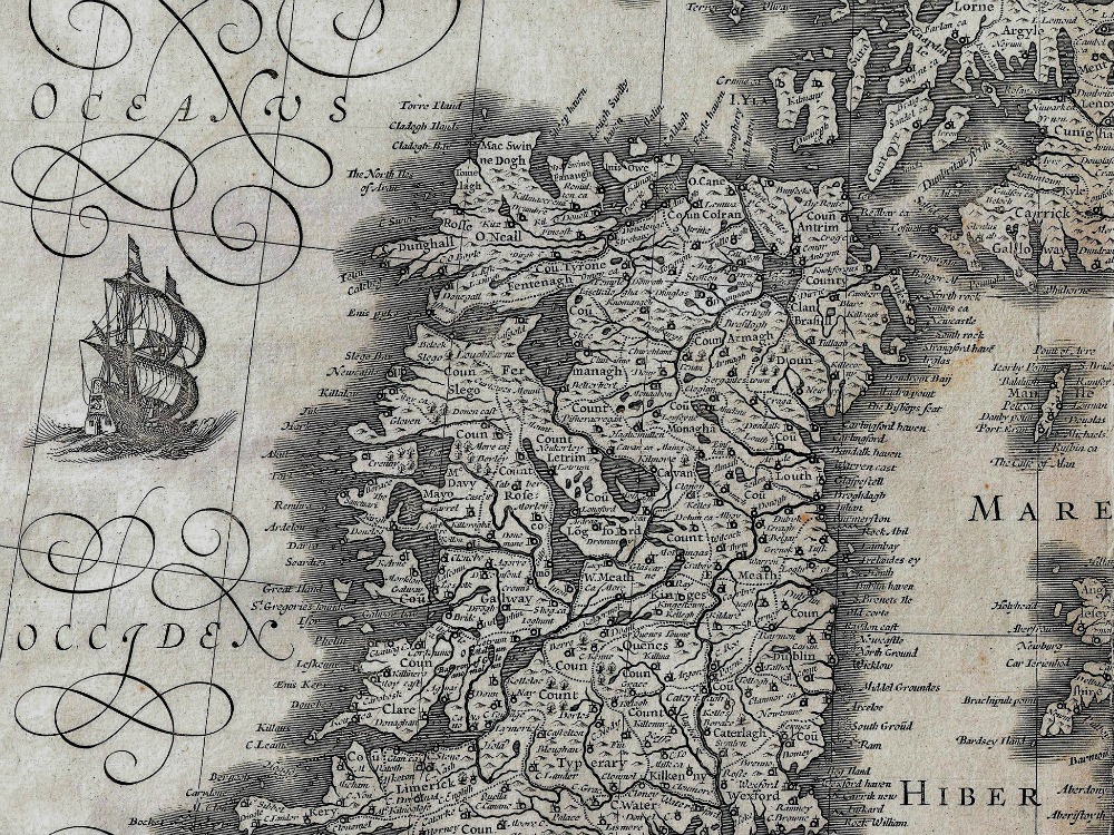
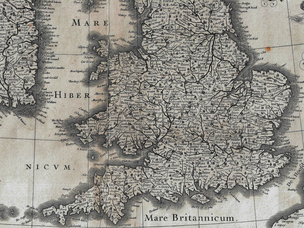
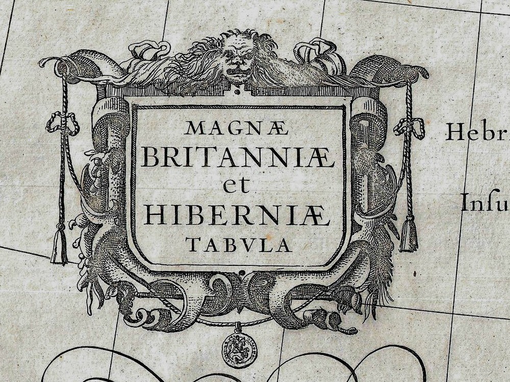
Blaeu’s 1631 map of the British Isles. Covers all of England, Scotland, Wales, and Ireland with adjacent parts of France and The Netherlands and an inset of the Orkney Islands.
- Stunning Full Colour Reproduction using the Most Advanced Technology Available
- Printed on Museum Matte Archival Paper 310gm
- Unique Conversation Piece for your Home or Business
- Frame not included