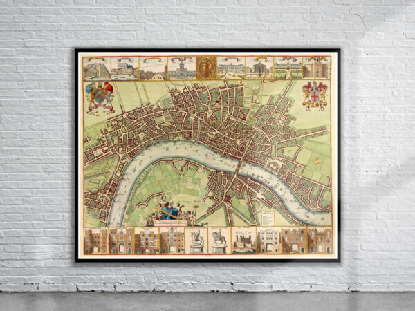
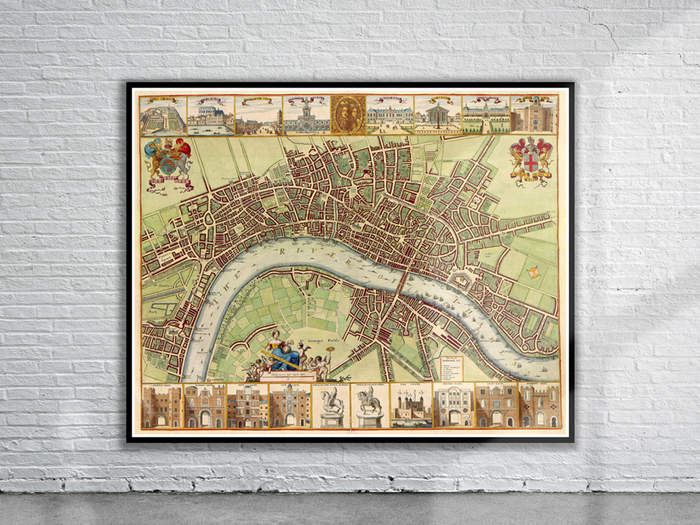
17th century map of London by W.Hollar with vignettes showing various landmarks and buildings. There is a double portrait at the top, depicting joint monarchs William III and Mary Stuart in 1689.
- Stunning Full Colour Reproduction using the Most Advanced Technology Available
- Printed on Museum Matte Archival Paper 310gm
- Unique Conversation Piece for your Home or Business
- Frame not included