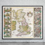
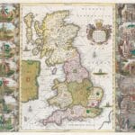
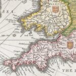
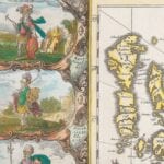
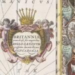
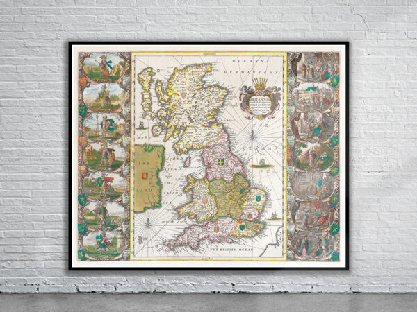
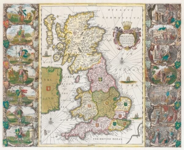
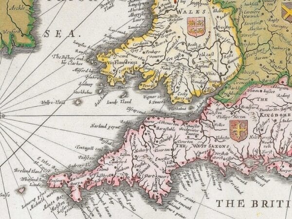
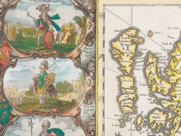
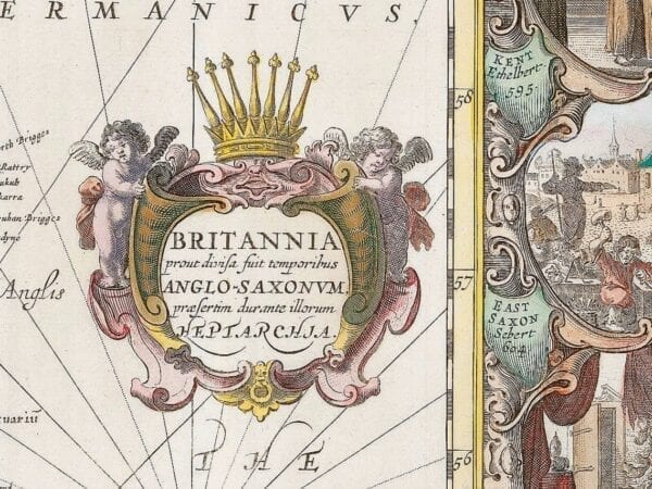
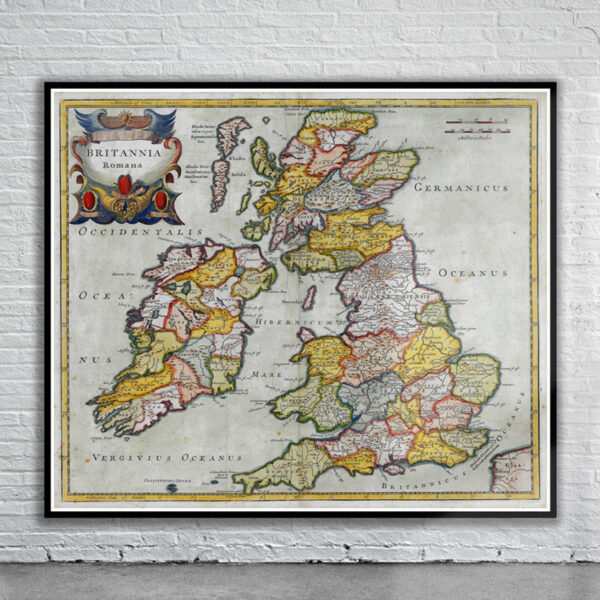
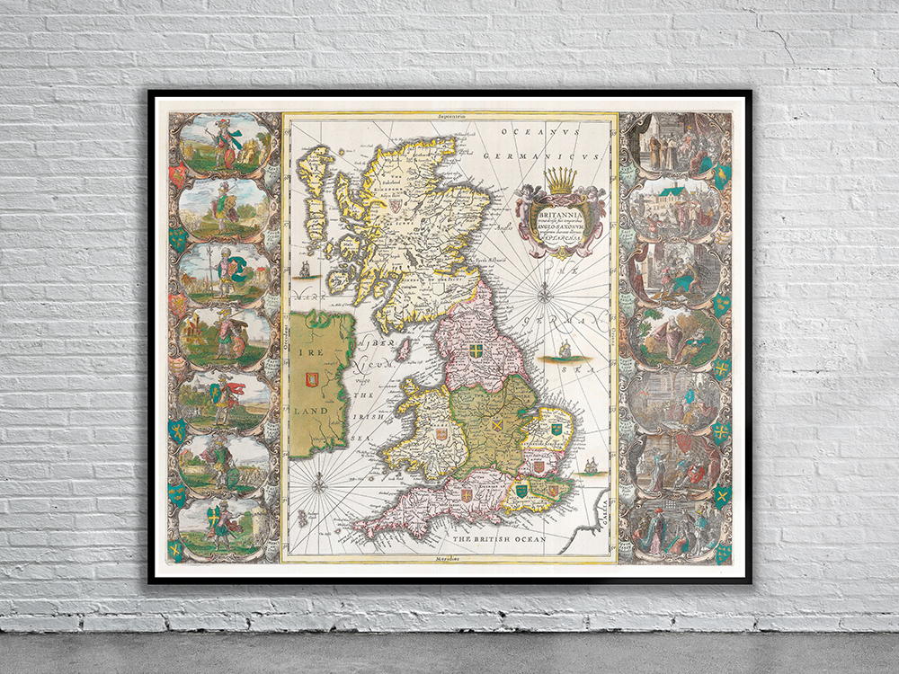
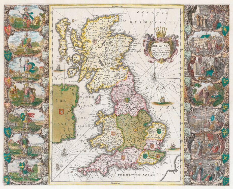
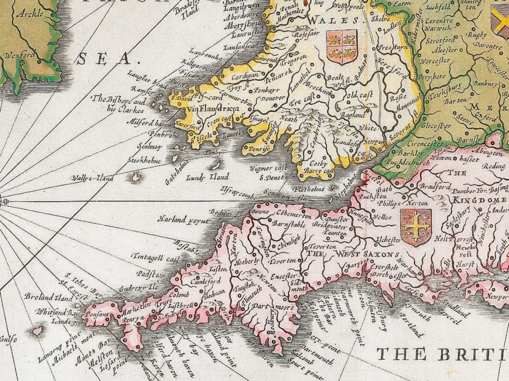
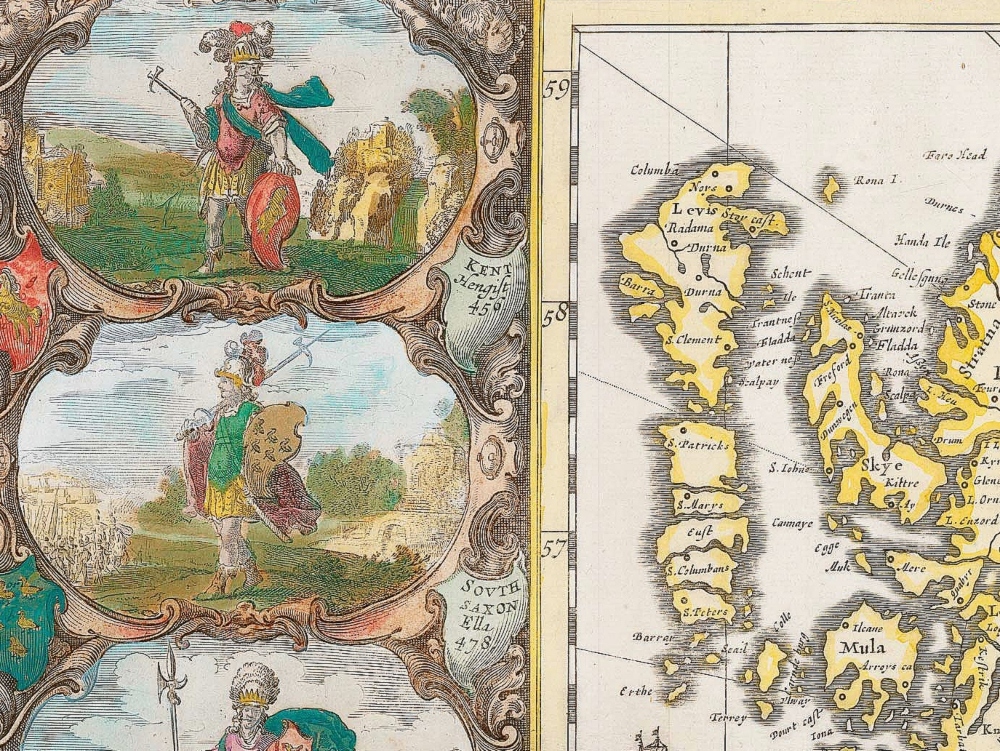
An elaborately decorated map of the British Isles from 1646 showing England before the Norman Conquest of 1066, with the country divided into the seven Saxon kingdoms. Along the left of the map are vignettes showing full-length portraits of the founders of the kingdoms. Along the right are shown the various methods used to convert their successors to Christianity.
- Stunning Full Colour Reproduction using the Most Advanced Technology Available
- Printed on Museum Matte Archival Paper 310gm
- Unique Conversation Piece for your Home or Business
- Frame not included