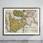
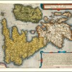
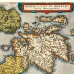


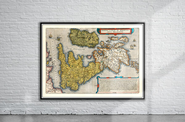
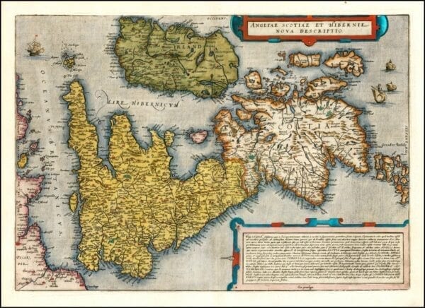
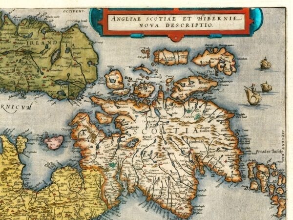
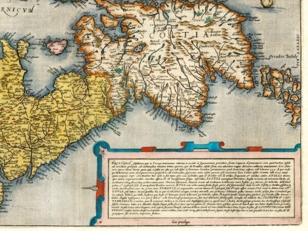

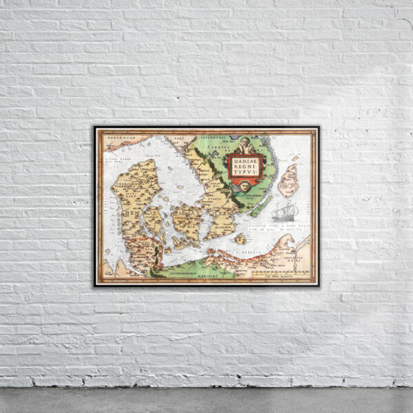
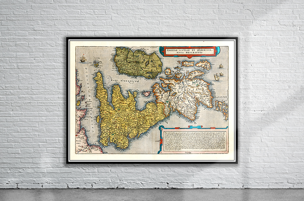
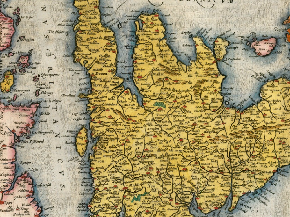
Vintage Map of the British Isles by de G. Jode from 1578, with North oriented to the right. Also showing the Northern Coast of France.
- Stunning Full Colour Reproduction using the Most Advanced Technology Available
- Printed on Museum Matte Archival Paper 310gm
- Unique Conversation Piece for your Home or Business
- Frame not included
