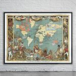
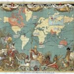


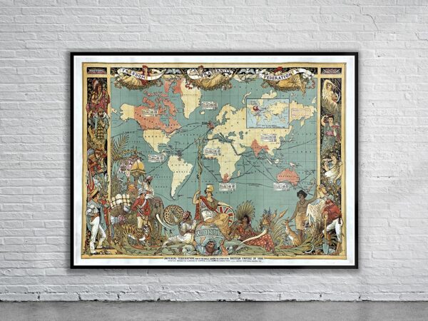
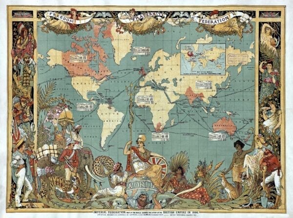


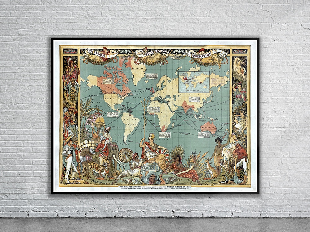
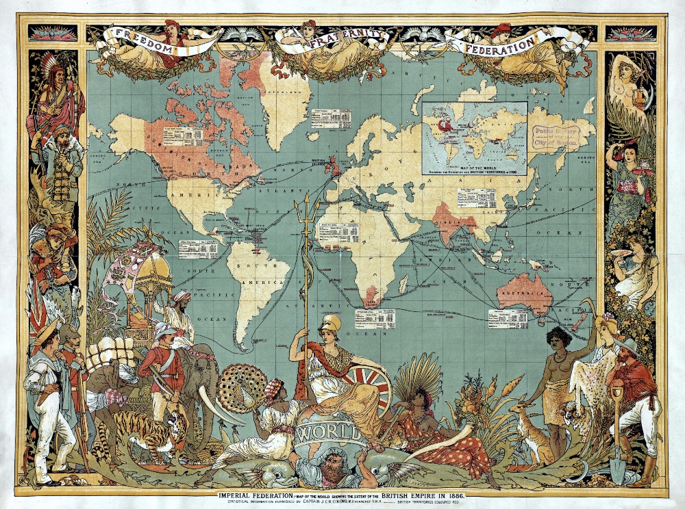
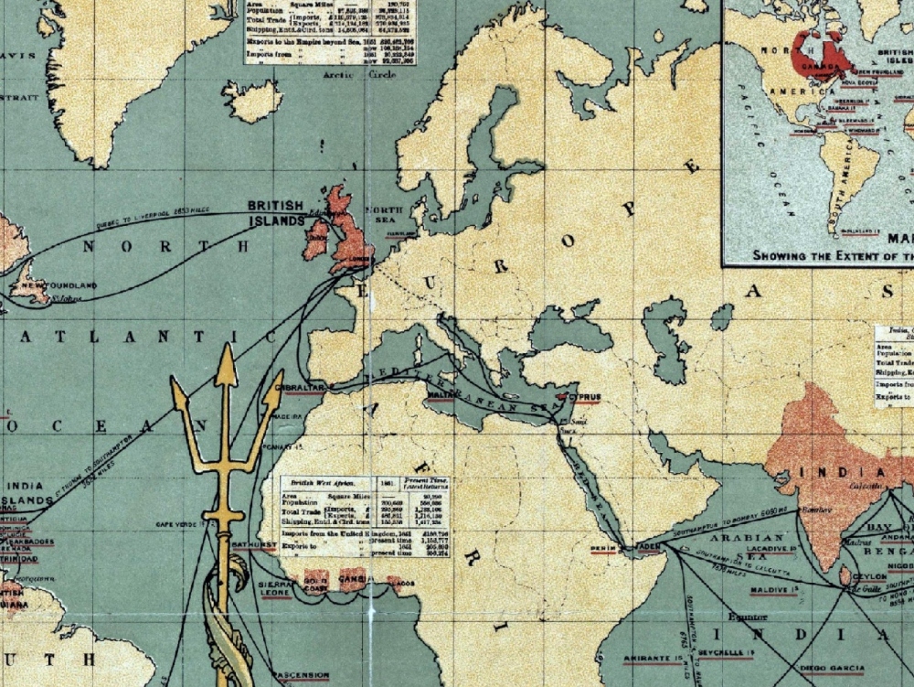
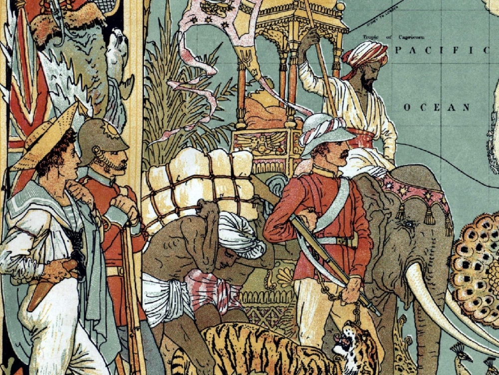
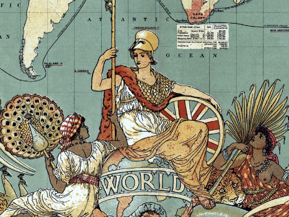
Imperial Federation Map Showing the Extent of the British Empire in 1886. This remarkable map was published to mark the Indian and Colonial Exhibition of 1886, and to serve as a souvenir for the event. The outside of the map is decorated with people of the Empire in their traditional dress.
- Stunning Full Colour Reproduction using the Most Advanced Technology Available
- Printed on Museum Matte Archival Paper 310gm
- Unique Conversation Piece for your Home or Business
- Frame not included