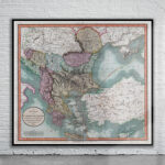
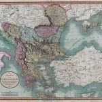
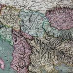
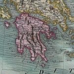

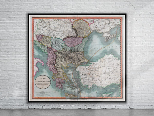
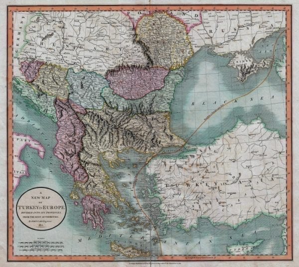
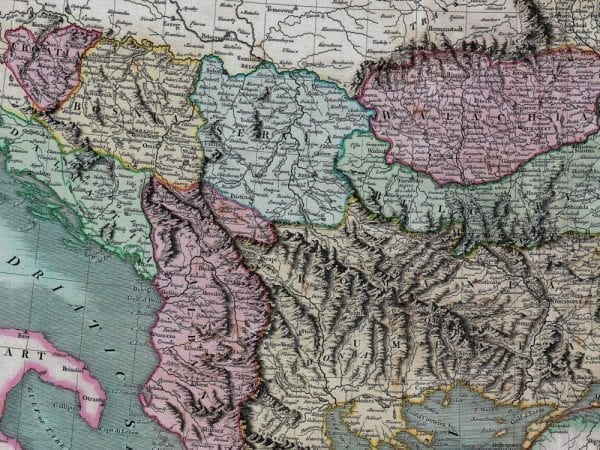
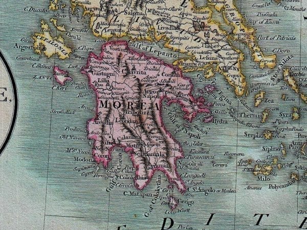

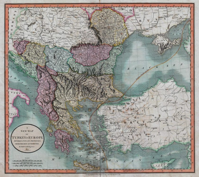
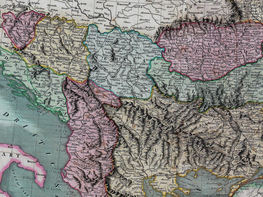
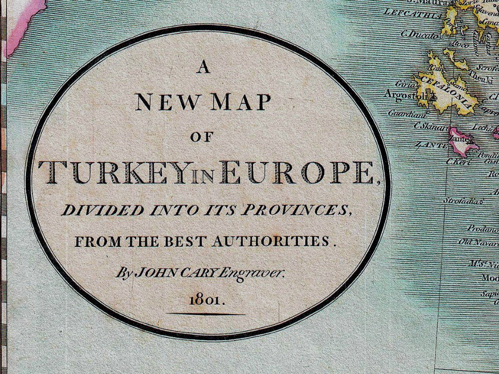
John Carys 1801 map of The Balkans. It covers the Adriatic eastward to Crimea and Southwards as far as Crete and Cyprus. It includes the modern day countries of Turkey, Greece, Albania, Macedonia, Rumania, Bulgaria, Moldova, Serbia, Bosnia, Croatia and Montenegro. Notes the line of Division between Europe and Asia as it passes through the Black Sea and the Aegean.
- Stunning Full Colour Reproduction using the Most Advanced Technology Available
- Printed on Museum Matte Archival Paper 310gm
- Unique Conversation Piece for your Home or Business
- Frame not included