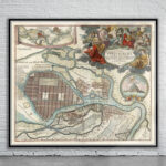
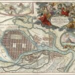
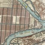
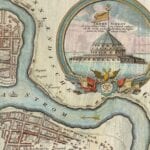

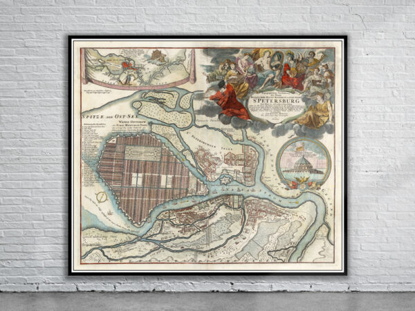
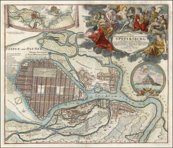
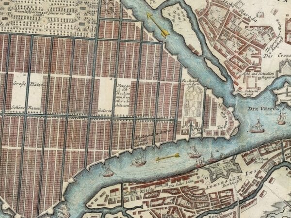
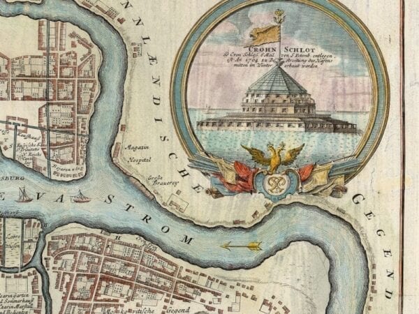
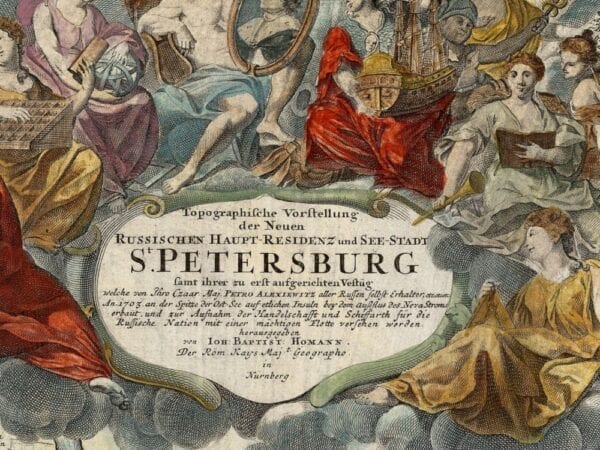
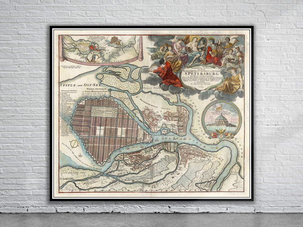
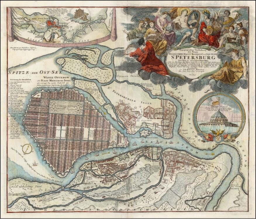
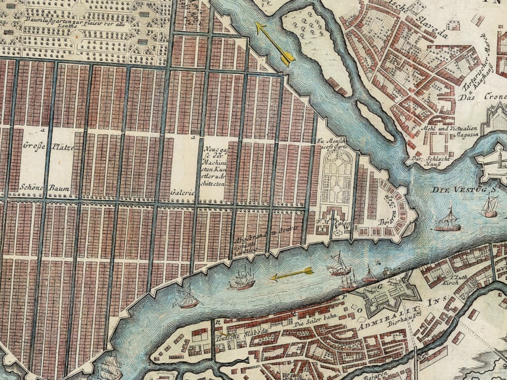
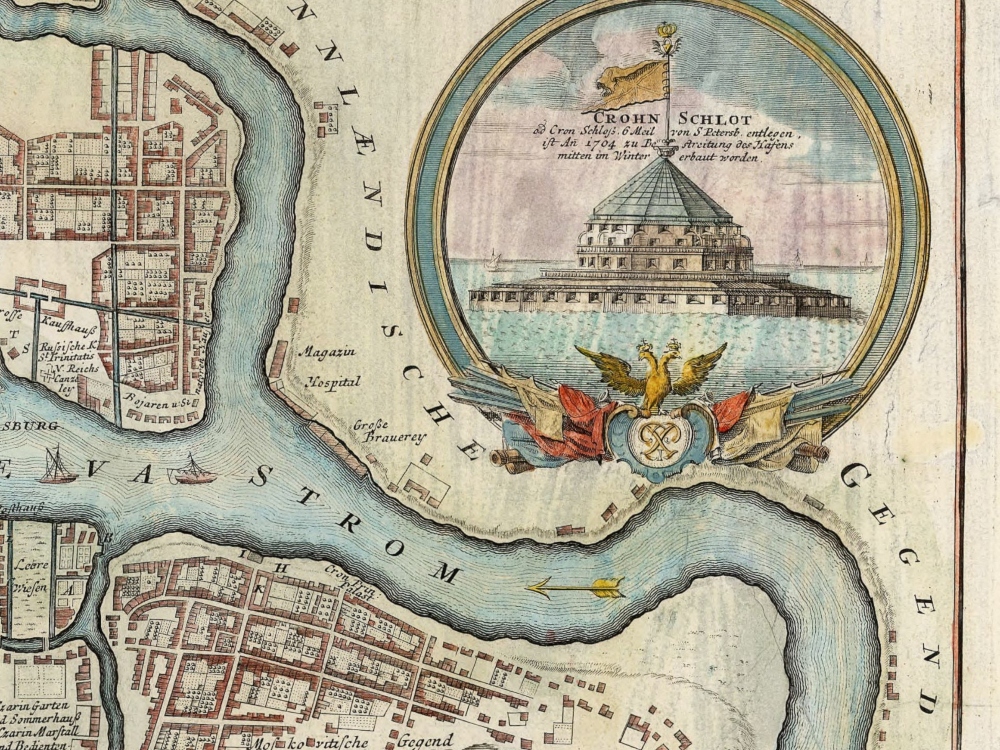
Homann’s 1720 Map of St. Petersburg dedicated to the city’s founder Peter the Great, whose portrait can be seen in the huge title cartouche. second map shows the position of the city in the mouth of the River Neva, and a vignette view shows the fortified island ‘Crohn Schlot’ protecting the city’s approaches.
- Stunning Full Colour Reproduction using the Most Advanced Technology Available
- Printed on Museum Matte Archival Paper 310gm
- Unique Conversation Piece for your Home or Business
- Frame not included