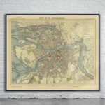
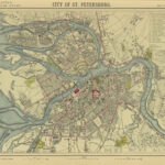
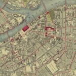
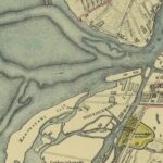
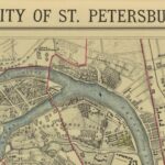
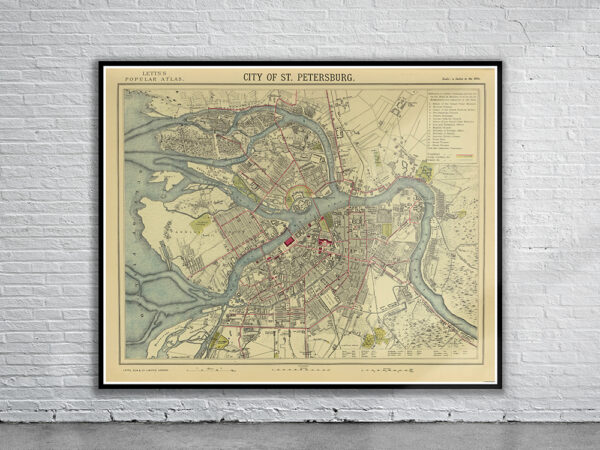
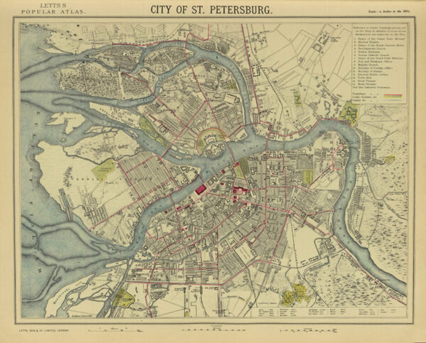

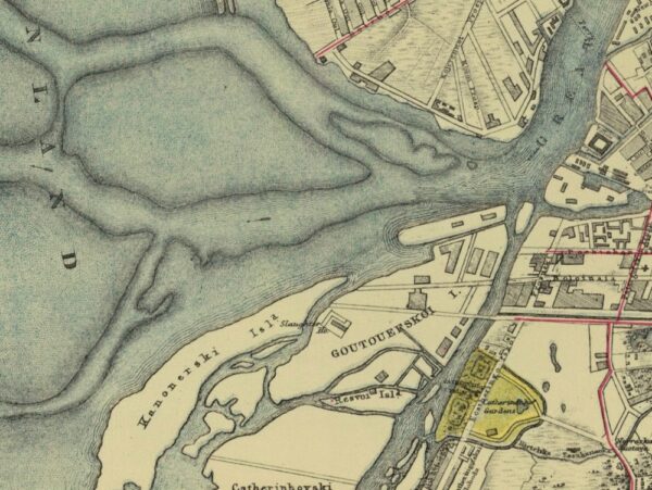
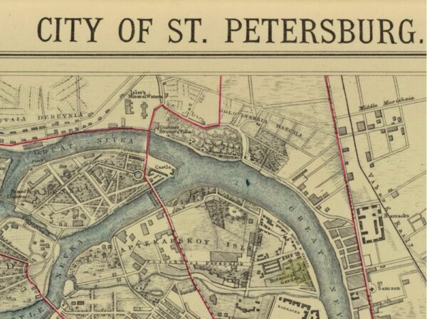
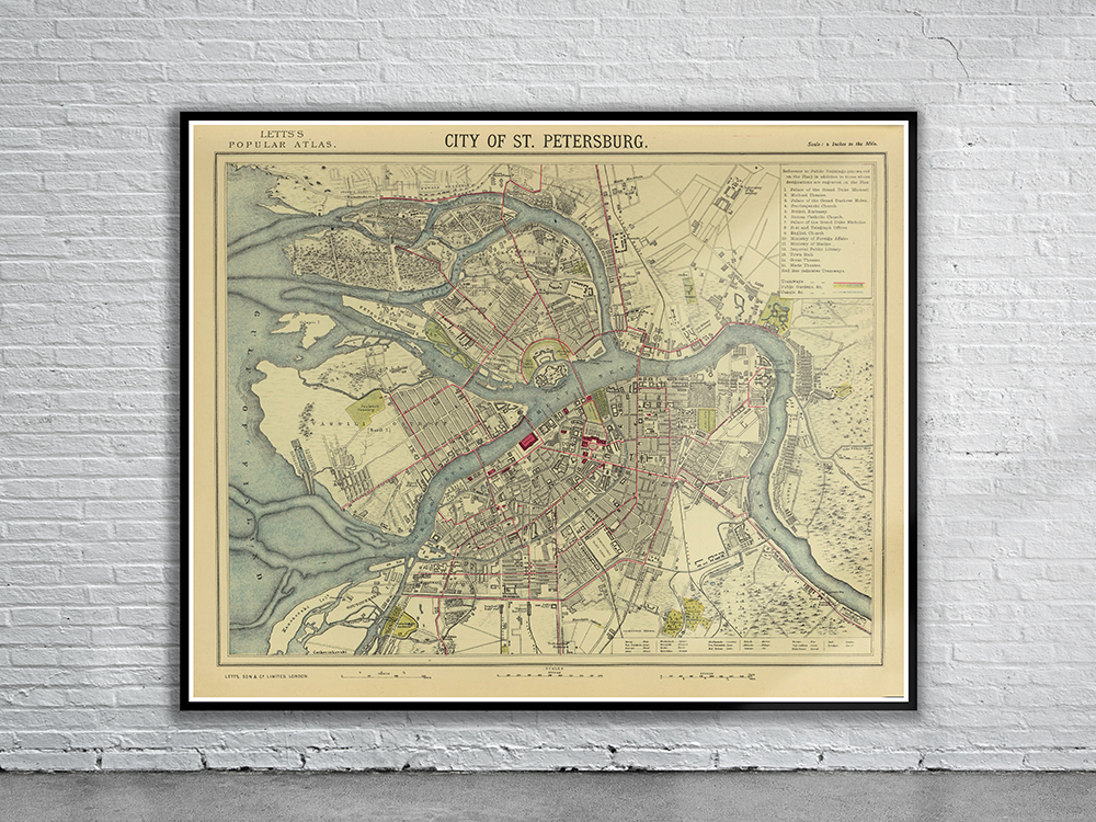
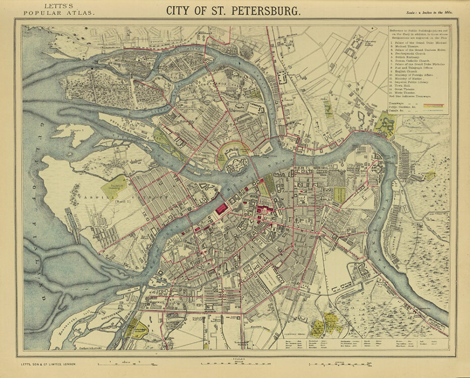
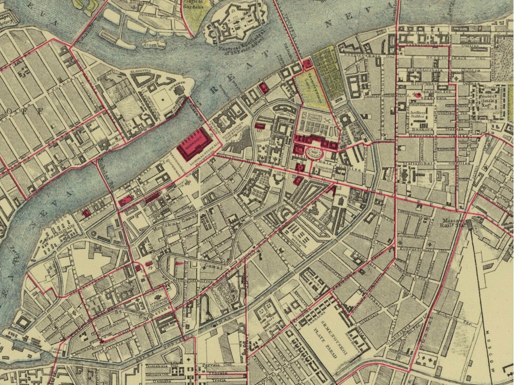
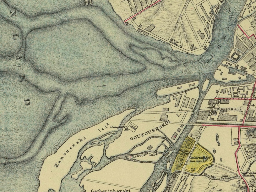
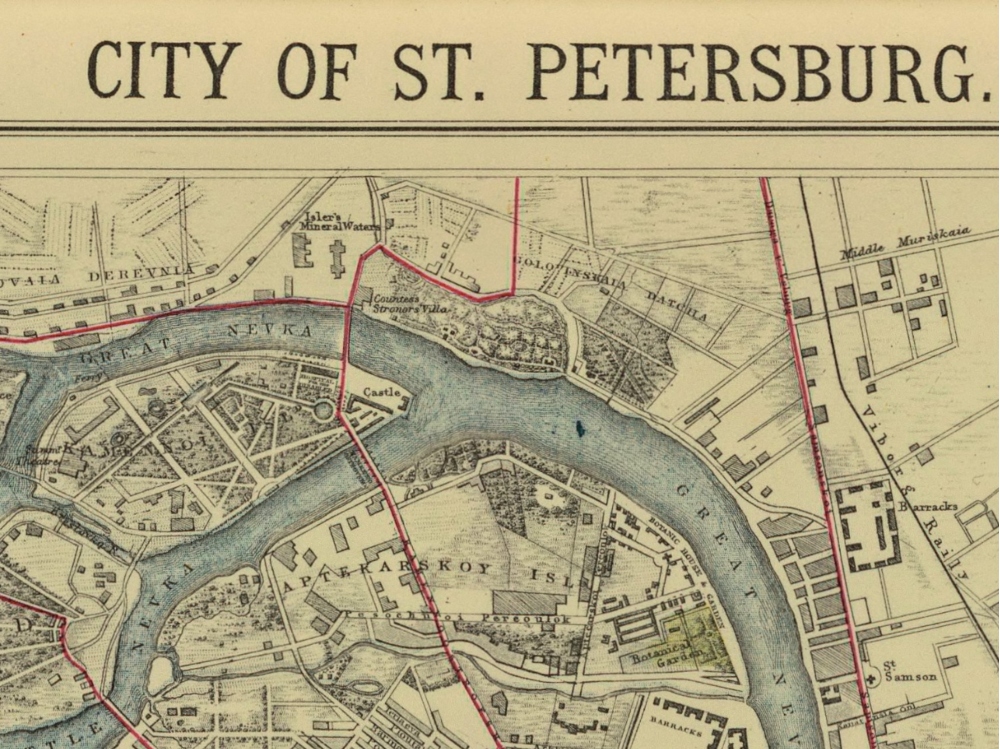
Letts’ 1883 Map of St. Petersberg from Letts’ Popular Atlas. A visually beautiful map showing Streets, Buildings, Parks, Tram Lines and Canals.
- Stunning Full Colour Reproduction using the Most Advanced Technology Available
- Printed on Museum Matte Archival Paper 310gm
- Unique Conversation Piece for your Home or Business
- Frame not included