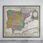
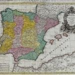
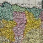
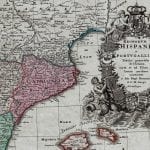
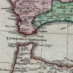


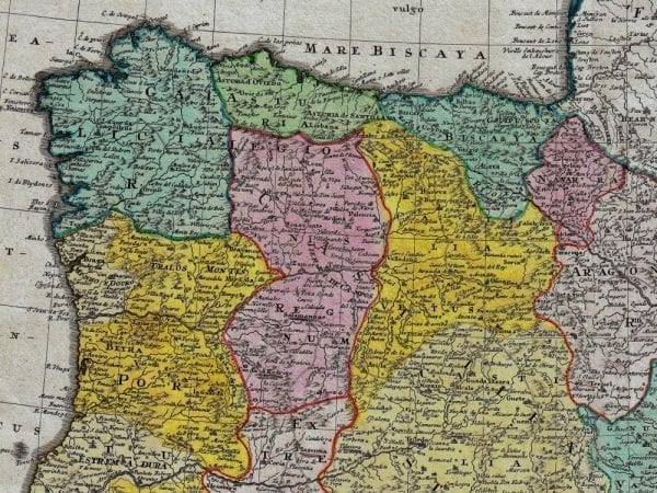
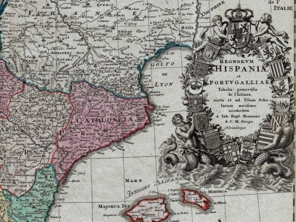
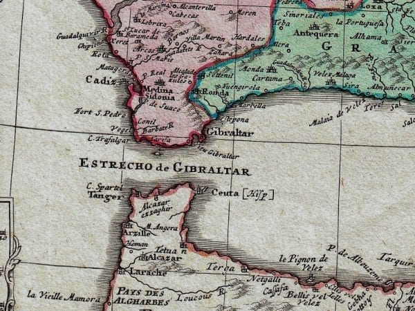
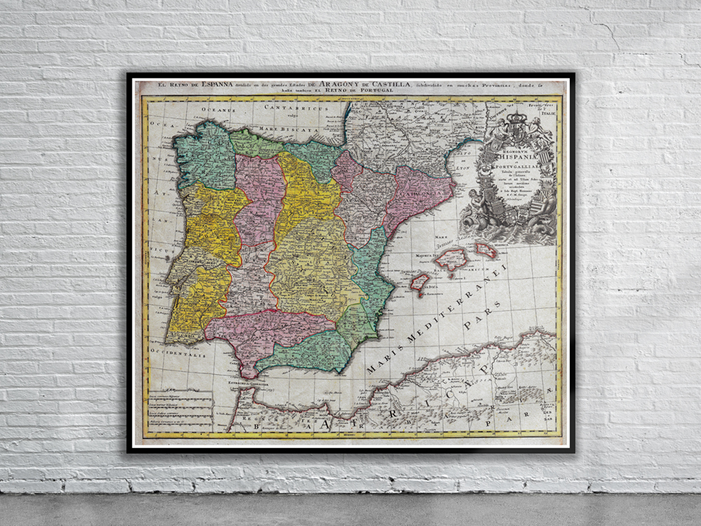
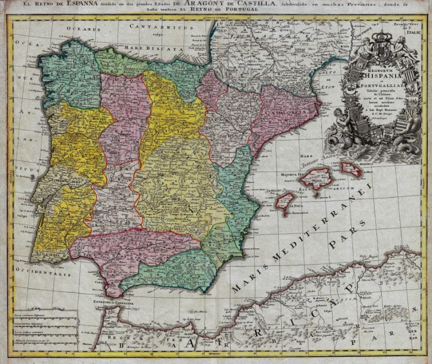
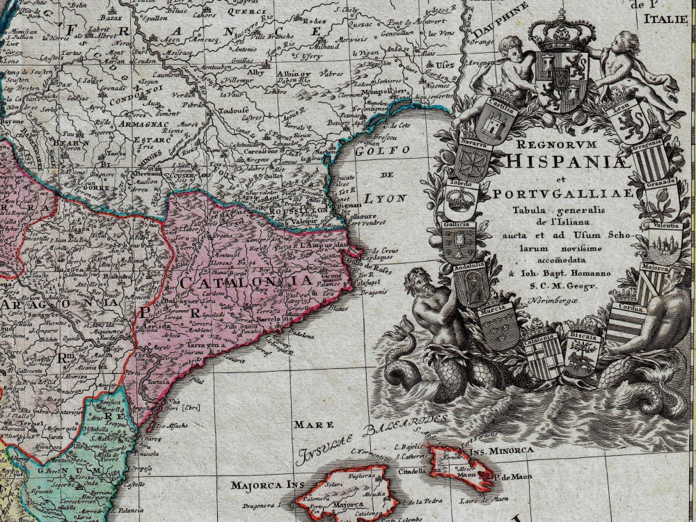
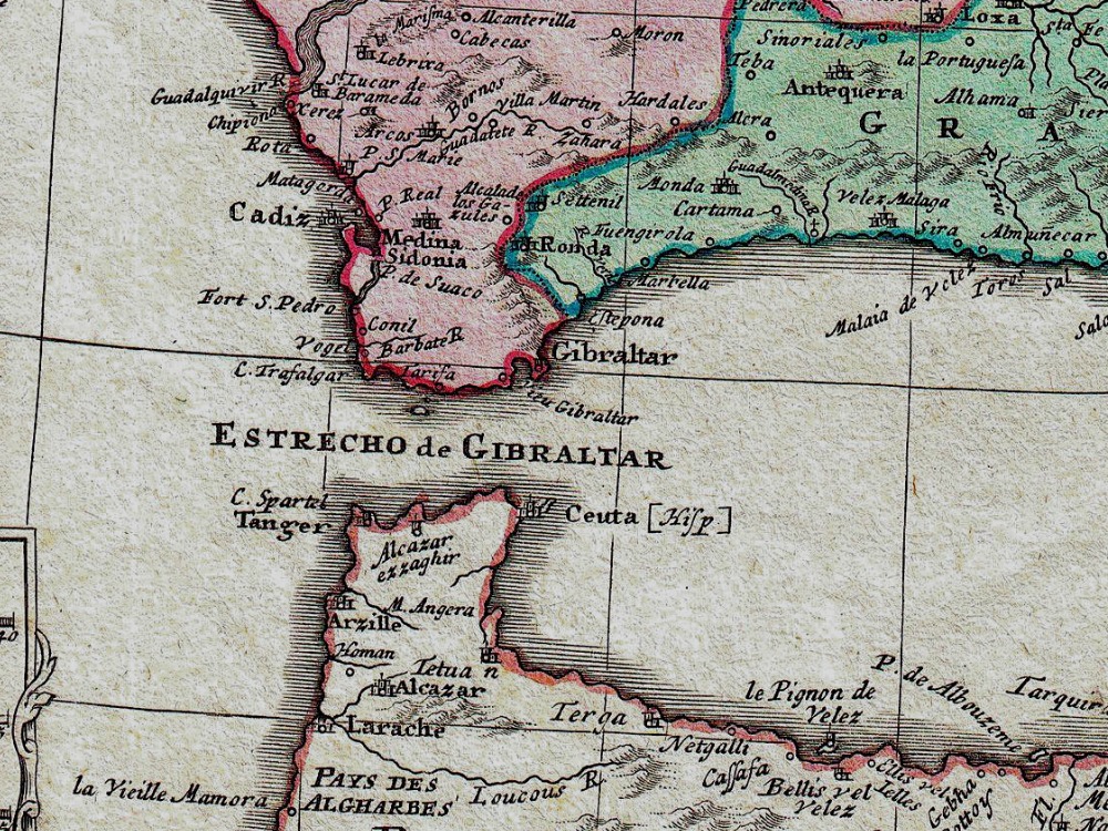
J.B. Homann’s 1730 map of Spain and Portugal. The map shows the entire Iberian peninsula in considerable detail including the Balearic Islands of Majorca, Minorca and Ibiza. Also covers parts of France and northern Africa. The map notes fortified cities, villages, roads, bridges, forests, castles and topography.
- Stunning Full Colour Reproduction using the Most Advanced Technology Available
- Printed on Museum Matte Archival Paper 310gm
- Unique Conversation Piece for your Home or Business
- Frame not included
