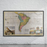
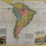
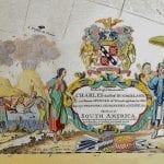
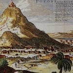
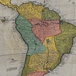
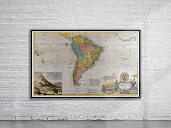

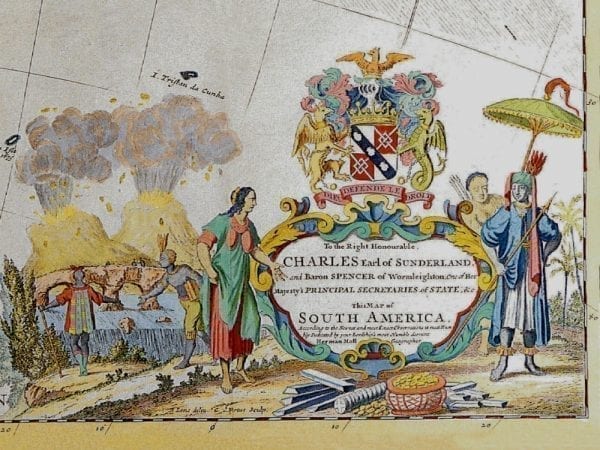
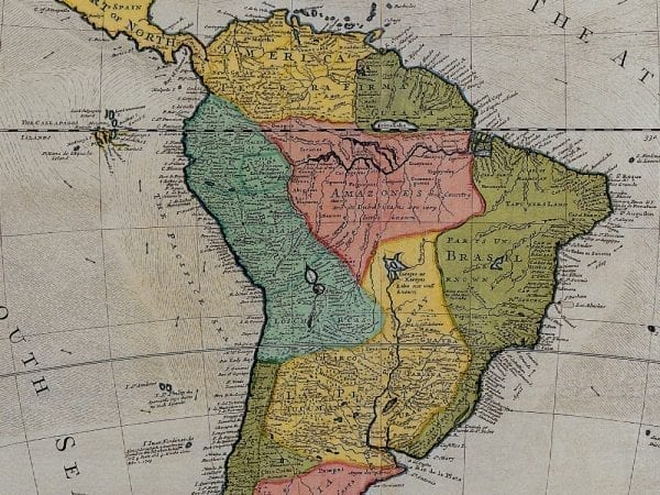
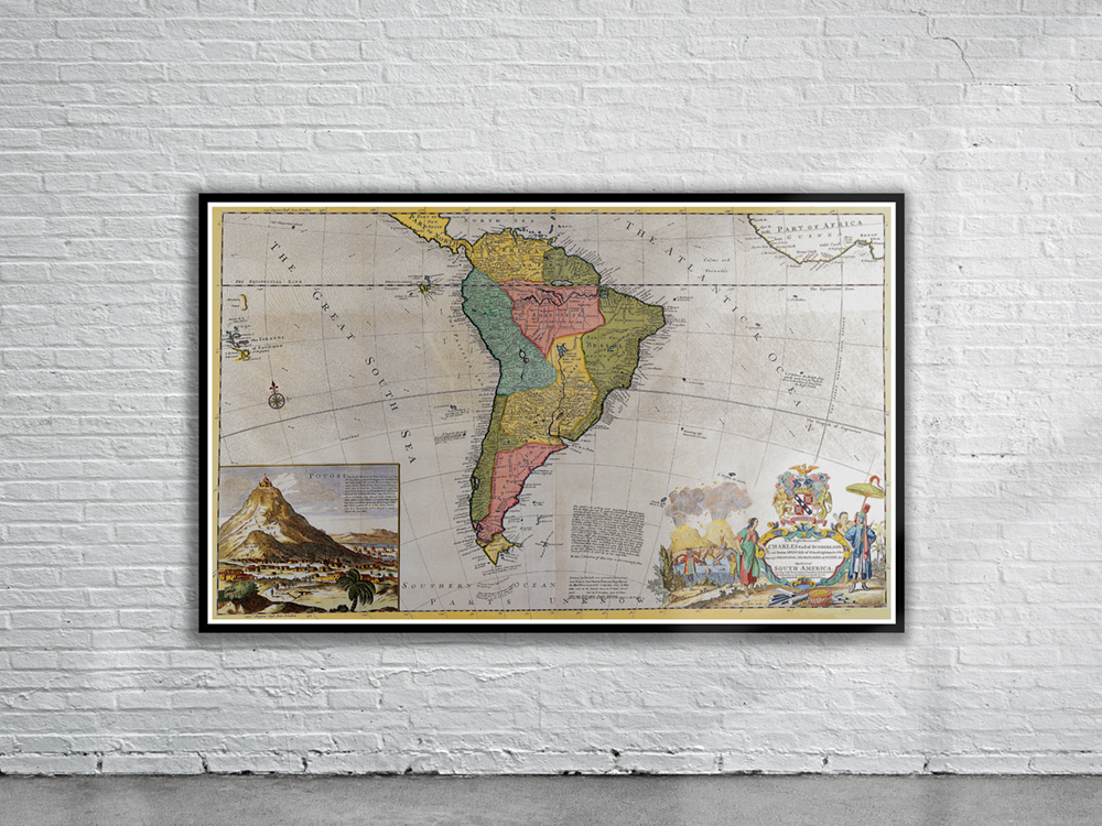
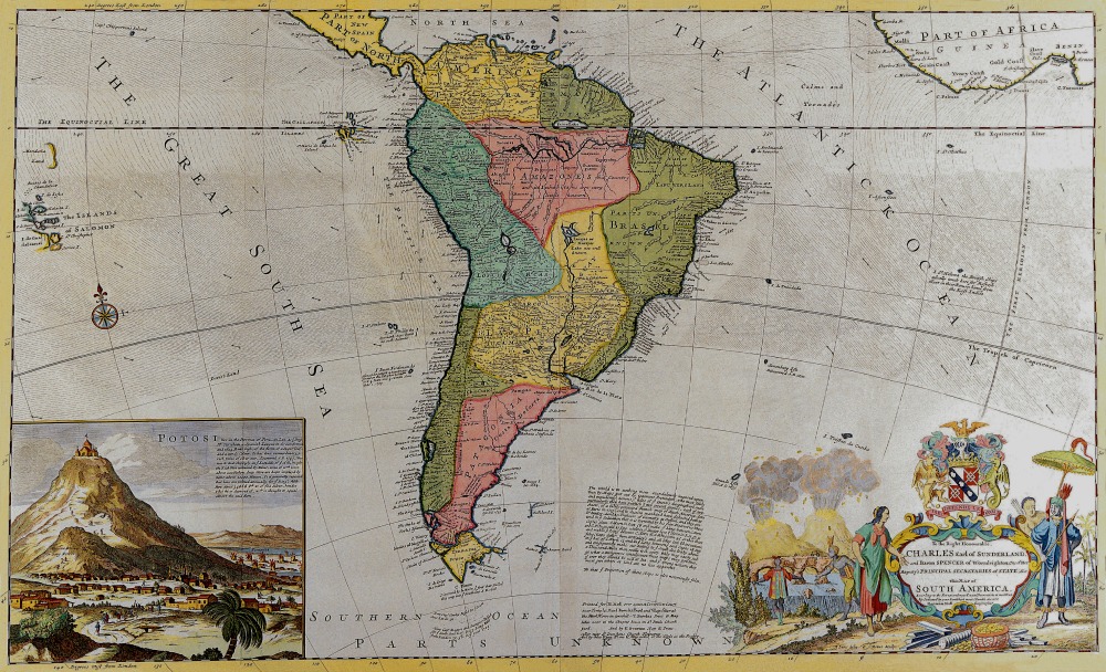
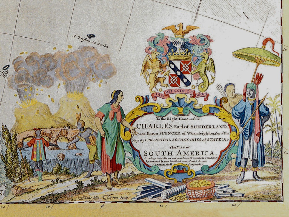
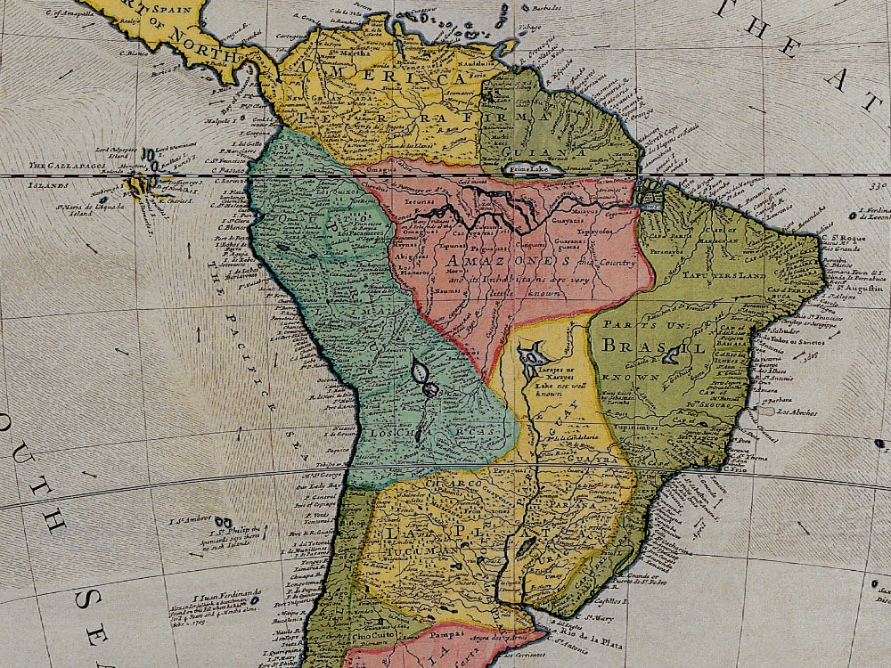
Moll’s map of South America including part of Central America from 1715. Includes a view of Potosí with church at summit, dwellings, and windmills. Also, native Americans with spears, rolls of tobacco, pot of gold coins, gold bars and feathered headdress Also included are the Solomon Islands and the west coast of Africa.
- Stunning Full Colour Reproduction using the Most Advanced Technology Available
- Printed on Museum Matte Archival Paper 310gm
- Unique Conversation Piece for your Home or Business
- Frame not included
