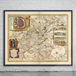
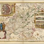
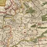
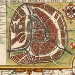
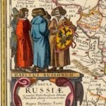
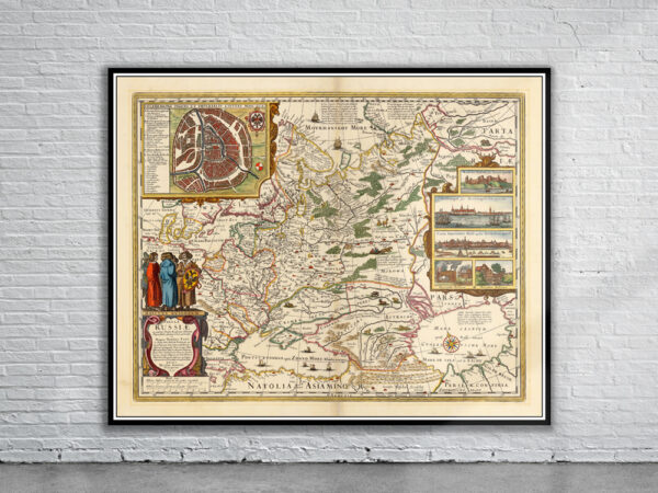
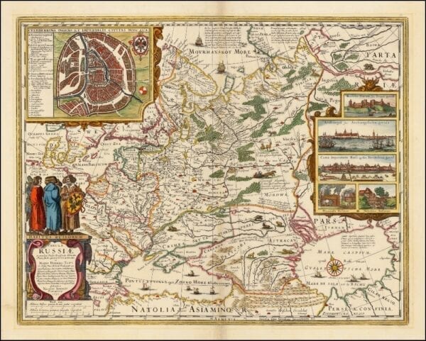
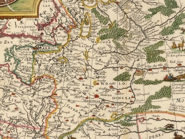
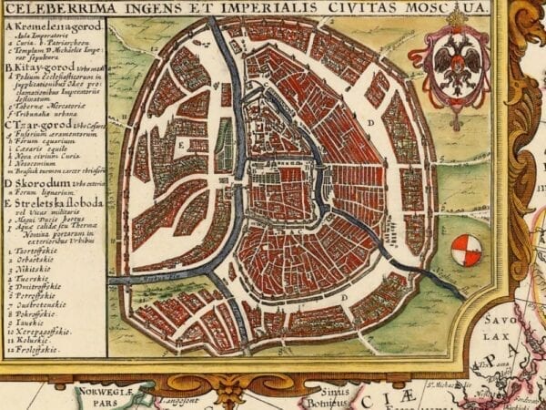
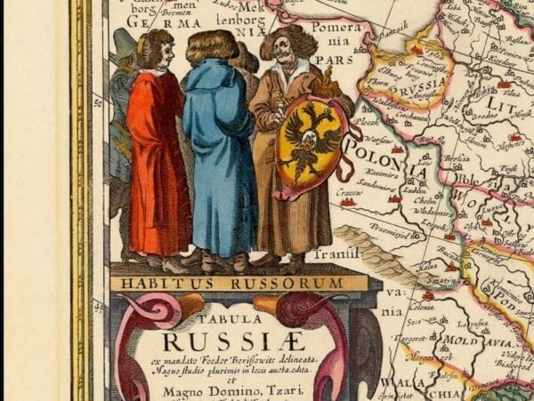
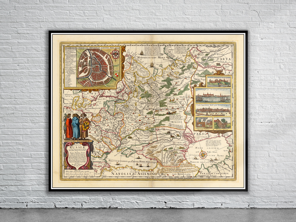
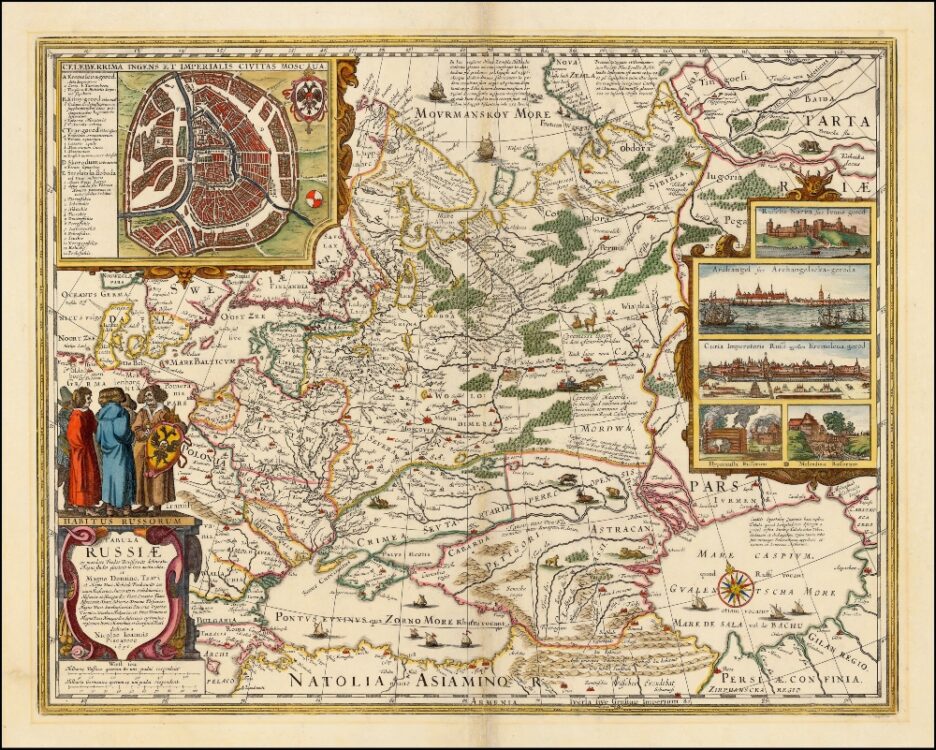
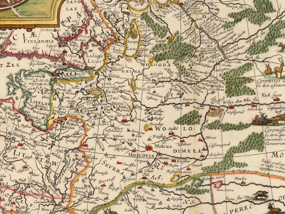
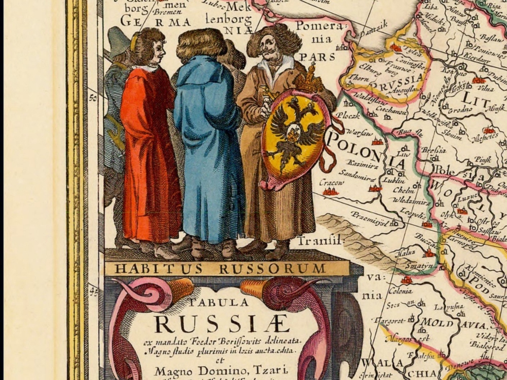
Nicolaus Visscher’s map of Russia from 1651. The map covers the European part of the Russian Empire extending from Poland to Tartary, and from the Barents Sea to the Black and Caspian Seas. Also shown is a large inset plan of Moscow includes a legend identifying locations. On the right hand side are five insets with views of cities.
- Stunning Full Colour Reproduction using the Most Advanced Technology Available
- Printed on Museum Matte Archival Paper 310gm
- Unique Conversation Piece for your Home or Business
- Frame not included