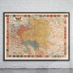
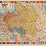
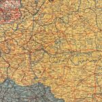
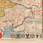
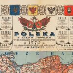
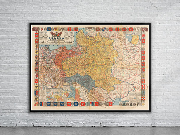
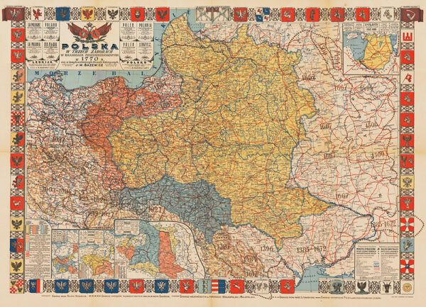
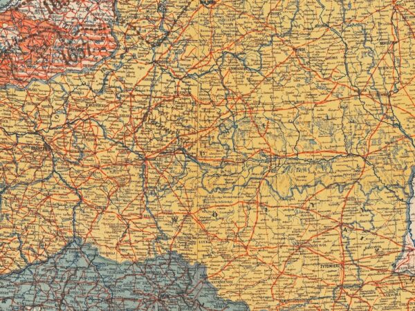
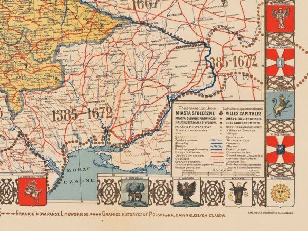
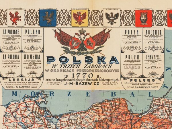
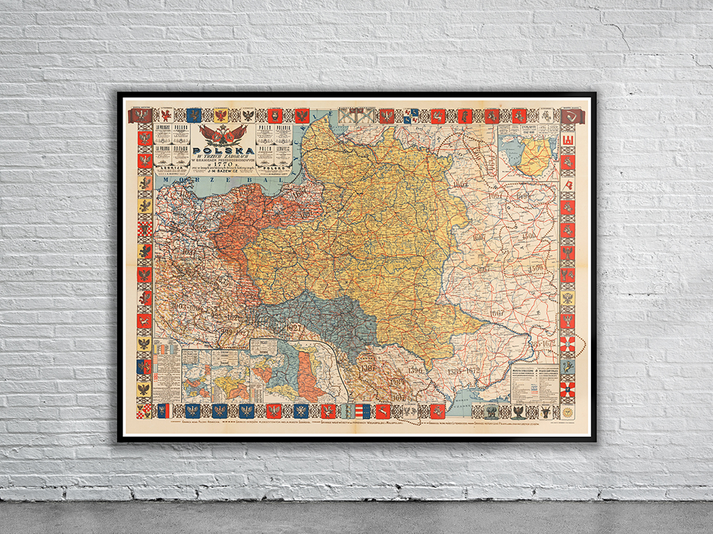
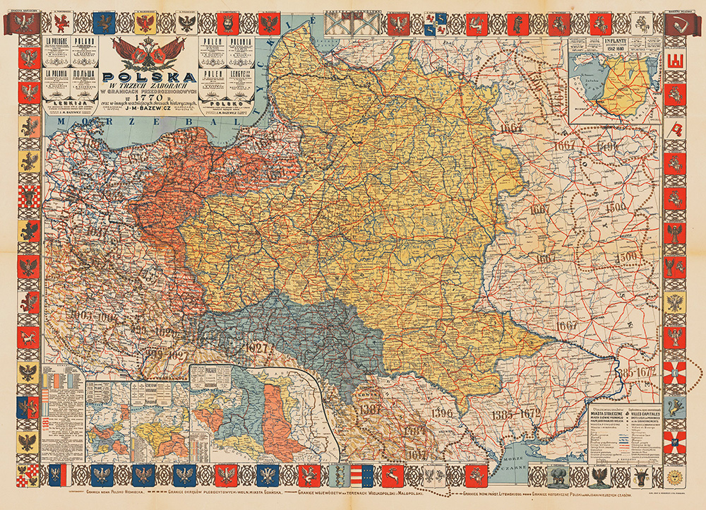
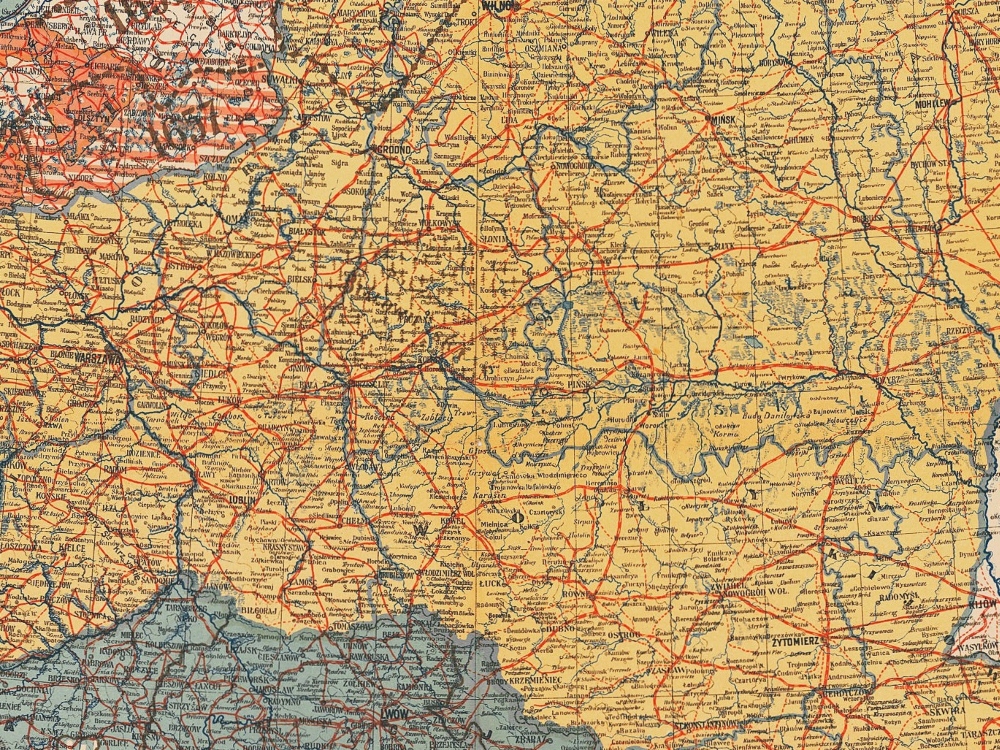
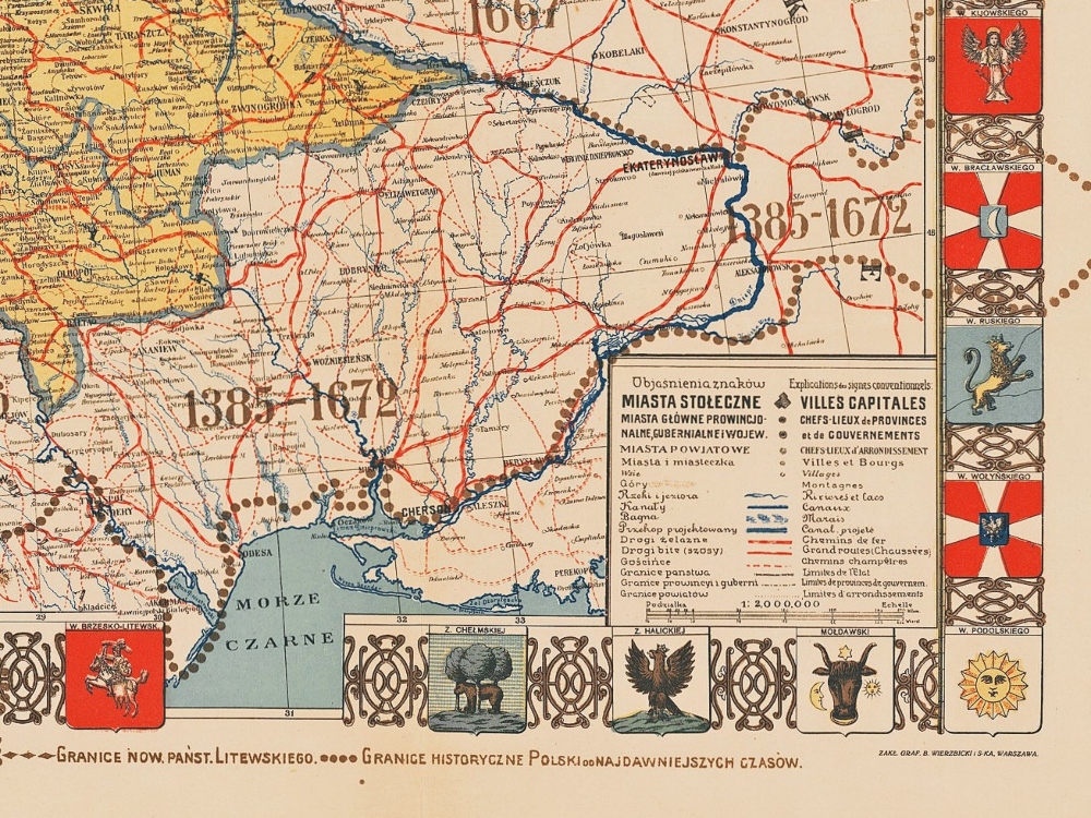
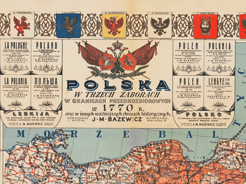
A truly historic map of Poland published around 1900 showing the extent of the Kingdom of Poland in 1770. The map is embellished with the coats of arms of the traditional Polish voivodships and military institutions. Four inserts give further details as to Poland’s territorial evolution. The map shows outlines of the extent of the Kingdom from the 9th Century up to 1770.
- Stunning Full Colour Reproduction using the Most Advanced Technology Available
- Printed on Museum Matte Archival Paper 310gm
- Unique Conversation Piece for your Home or Business
- Frame not included