


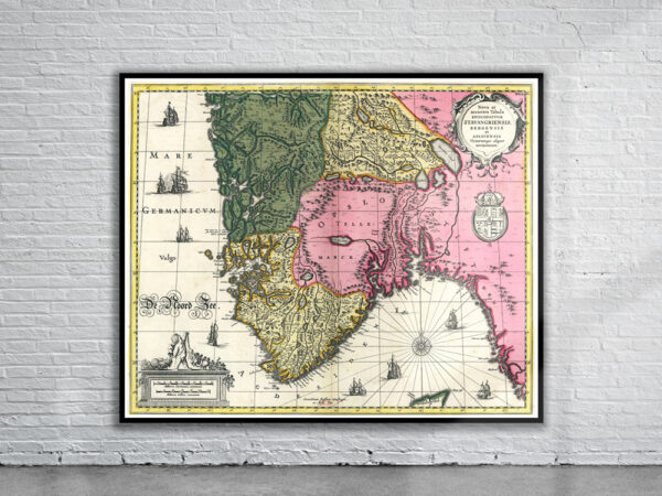


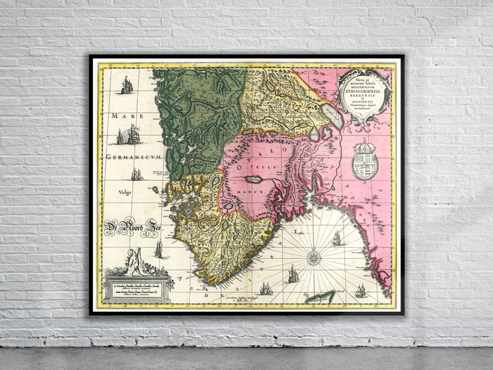
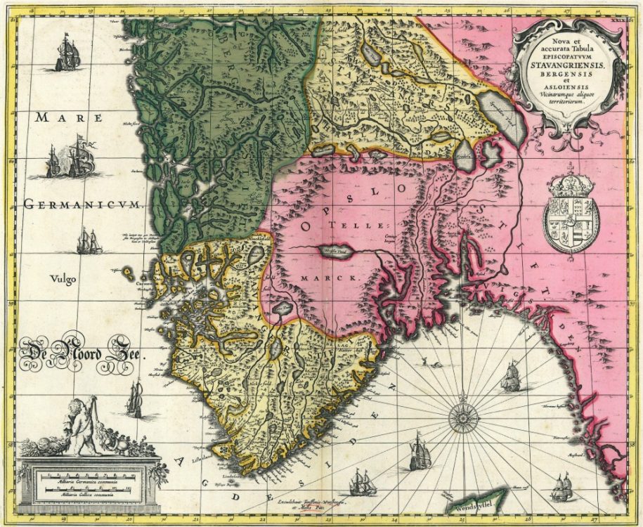
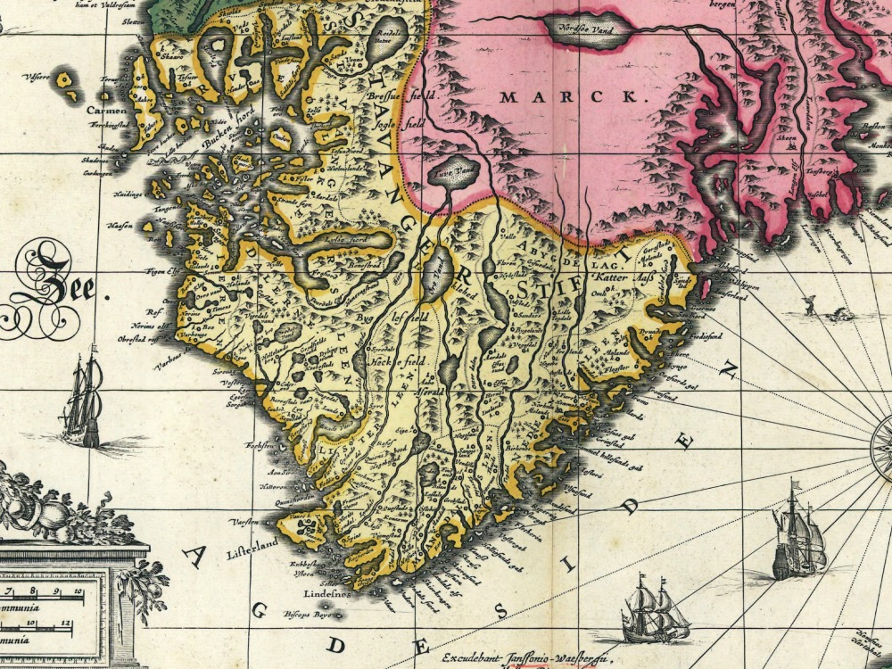
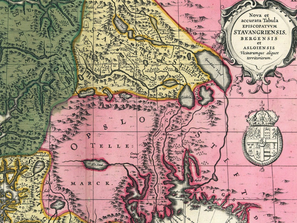
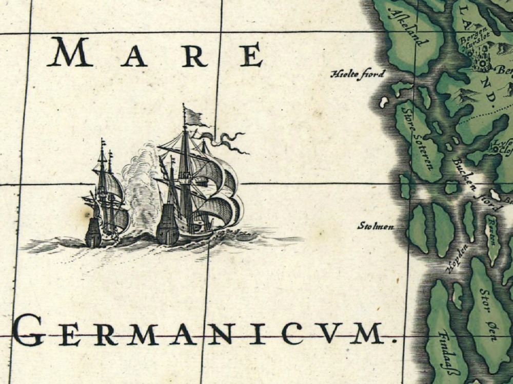
Jansson’s map of Norway from 1700, divided into its Provinces and showing in great detail the many waterways of the West Coast.
- Stunning Full Colour Reproduction using the Most Advanced Technology Available
- Printed on Museum Matte Archival Paper 310gm
- Unique Conversation Piece for your Home or Business
- Frame not included