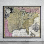
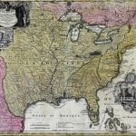
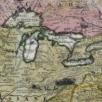
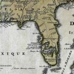
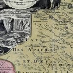
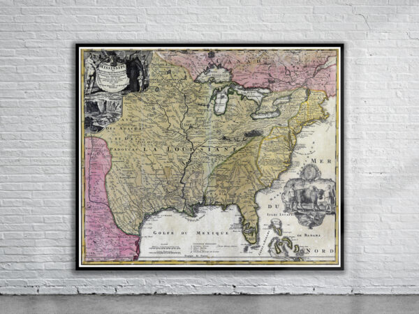
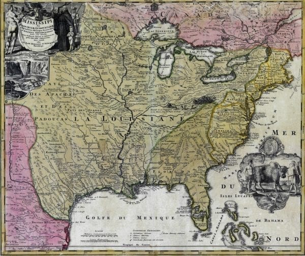


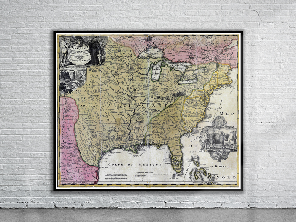
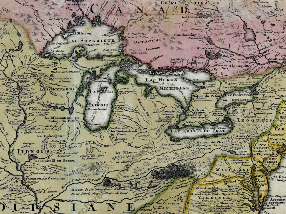
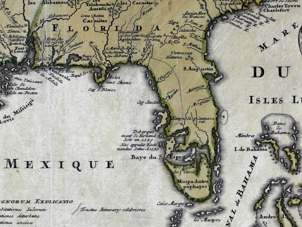
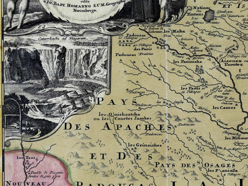
J.B. Homann’s map of North America’s Mississippi Valley and the British Colonies from 1720. Various explorers’ routes (including de Soto) are noted, as are mission settlements, American Indian villages, fortifications, and portages. Florida is depicted as an archipelago inhabited by anthropophagi (cannibals).
- Stunning Full Colour Reproduction using the Most Advanced Technology Available
- Printed on Museum Matte Archival Paper 310gm
- Unique Conversation Piece for your Home or Business
- Frame not included