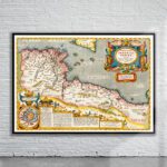
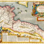
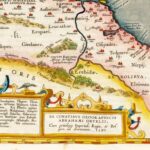
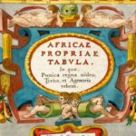
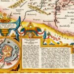
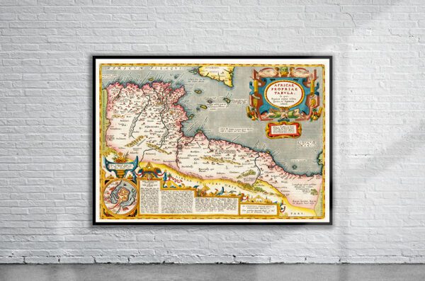
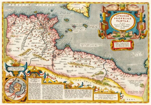

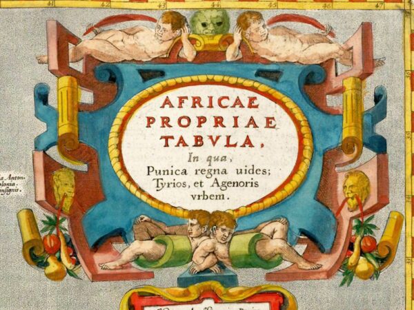

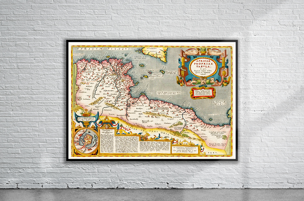
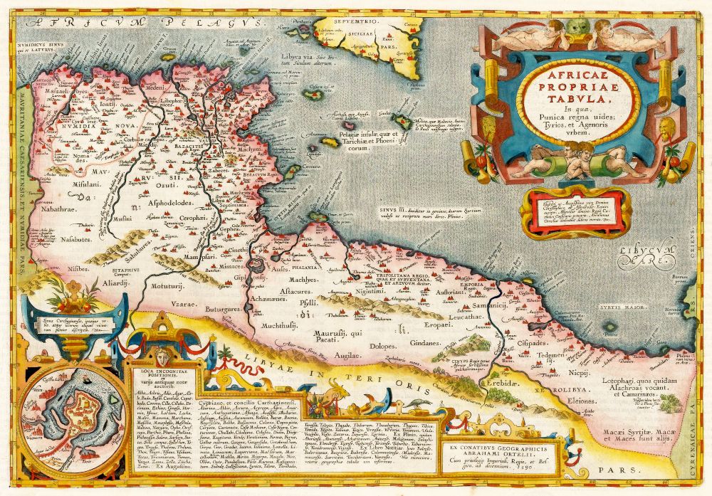
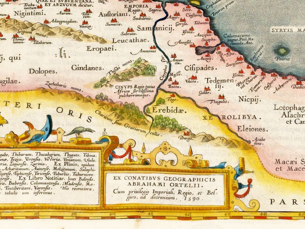
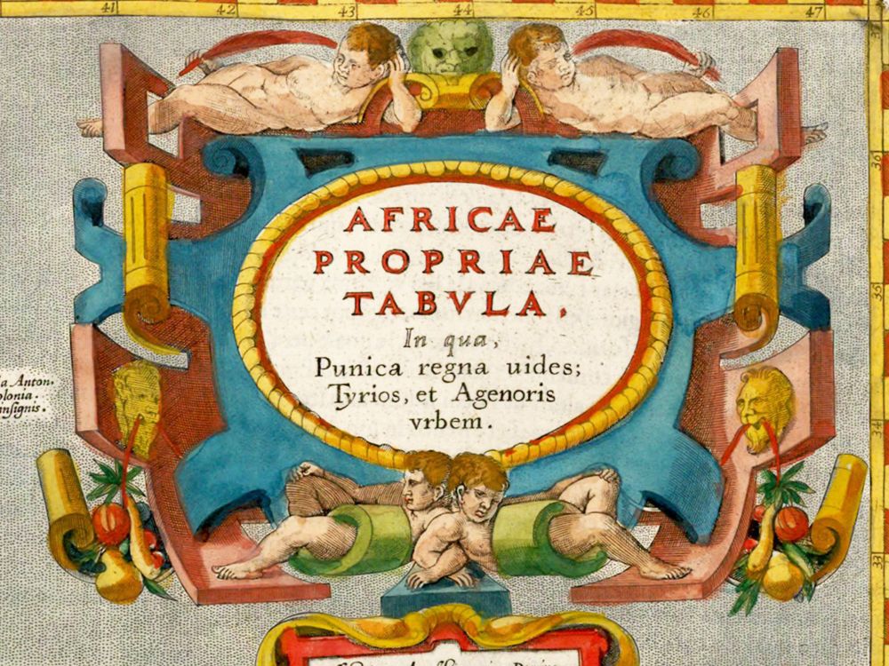
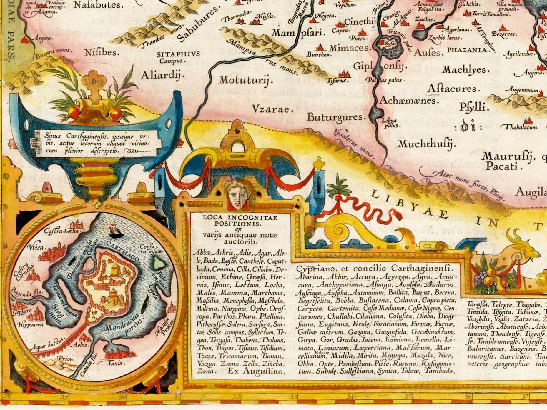
Abraham Ortelius’ map of ancient North Africa, from the 1595 Theatrum Orbis Terrarum. The map depicts the extent of the Roman Province of Africa, as well as parts of the neighbouring provinces of Mauretania Caesariensis, Numidia, Cyrenaica, and the southern half of Sicily. Principal cities are picked out in red. The inset shows the walled harbour of Carthage.
- Stunning Full Colour Reproduction using the Most Advanced Technology Available
- Printed on Museum Matte Archival Paper 310gm
- Unique Conversation Piece for your Home or Business
- Frame not included