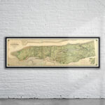


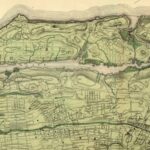

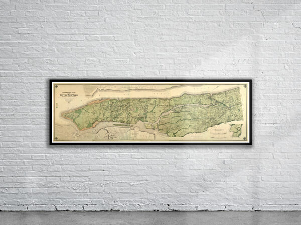


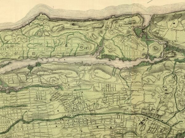
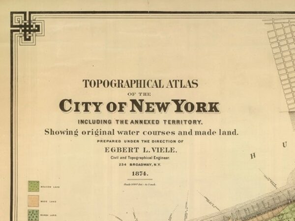
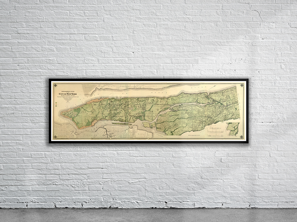
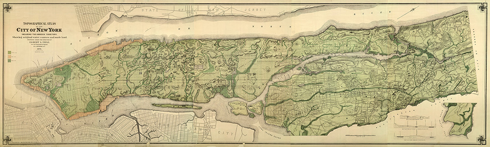
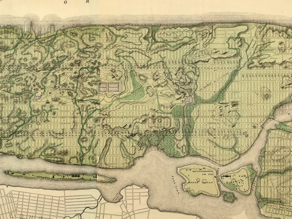
A Spectacular Topographical Map of New York from 1874. The Atlas was a larger and slightly expanded version of his 1865 Sanitary & Topographical Map. Both are still used today in construction to find long lost creeks and springs which have been buried beneath the concrete!
- Stunning Full Colour Reproduction using the Most Advanced Technology Available
- Printed on Museum Matte Archival Paper 310gm
- Unique Conversation Piece for your Home or Business
- Frame not included