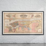
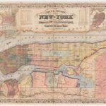

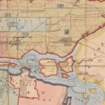

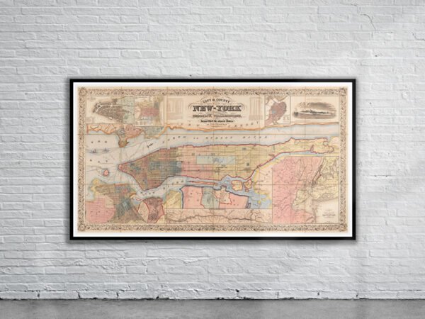


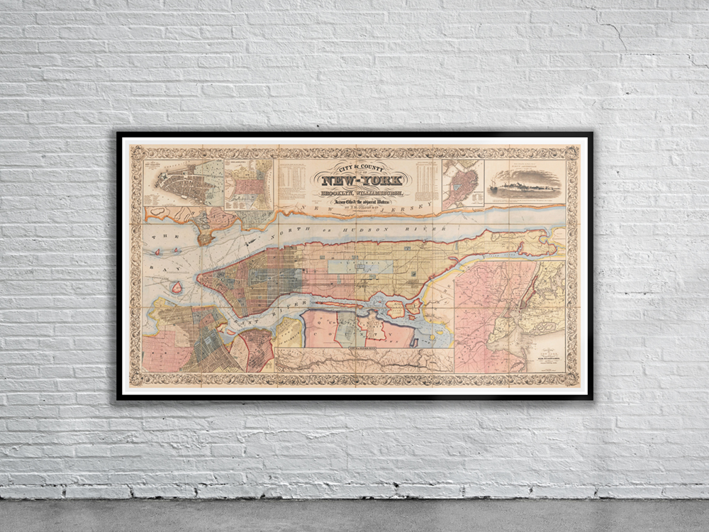
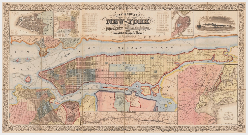
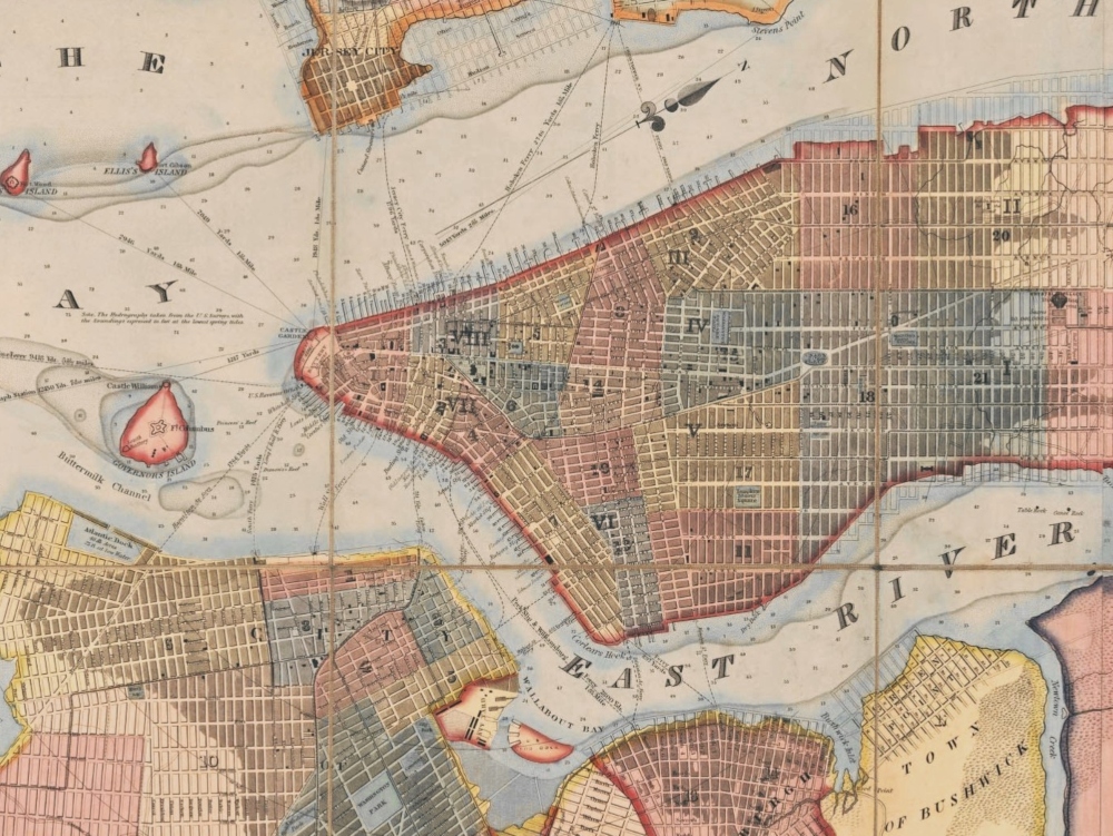
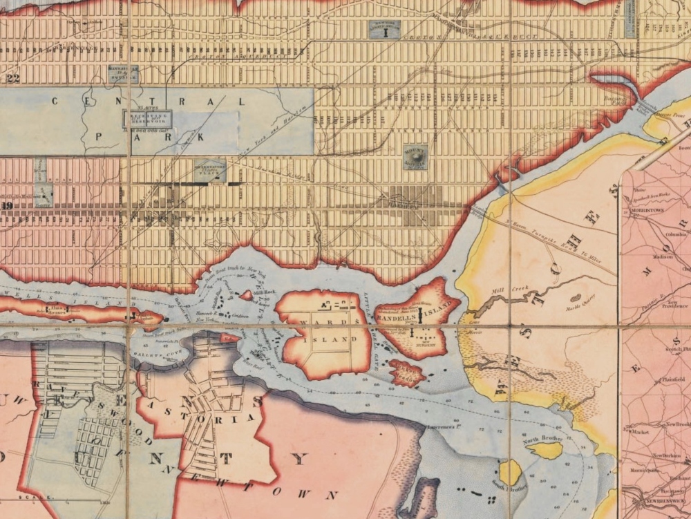
Colton’s City & County Map of New York from 1857. The map shows the built-up areas, streetcar/railroad lines, river piers (numbered, proprietors identified), municipal wards (numbered), and projected street-system grid to the northern end of Manhattan Island.
- Stunning Full Colour Reproduction using the Most Advanced Technology Available
- Printed on Museum Matte Archival Paper 310gm
- Unique Conversation Piece for your Home or Business
- Frame not included