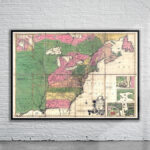
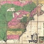
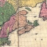
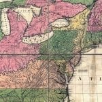
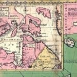
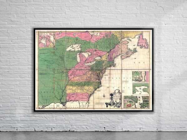
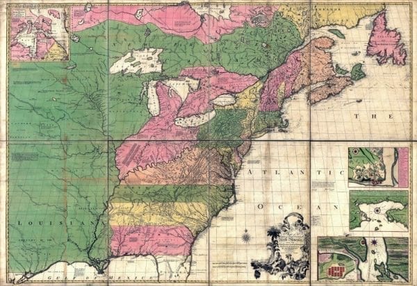
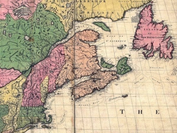
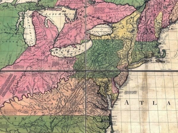
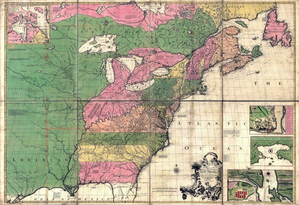
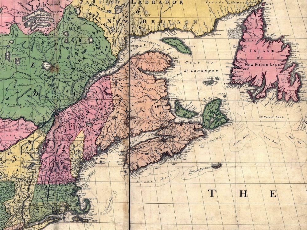
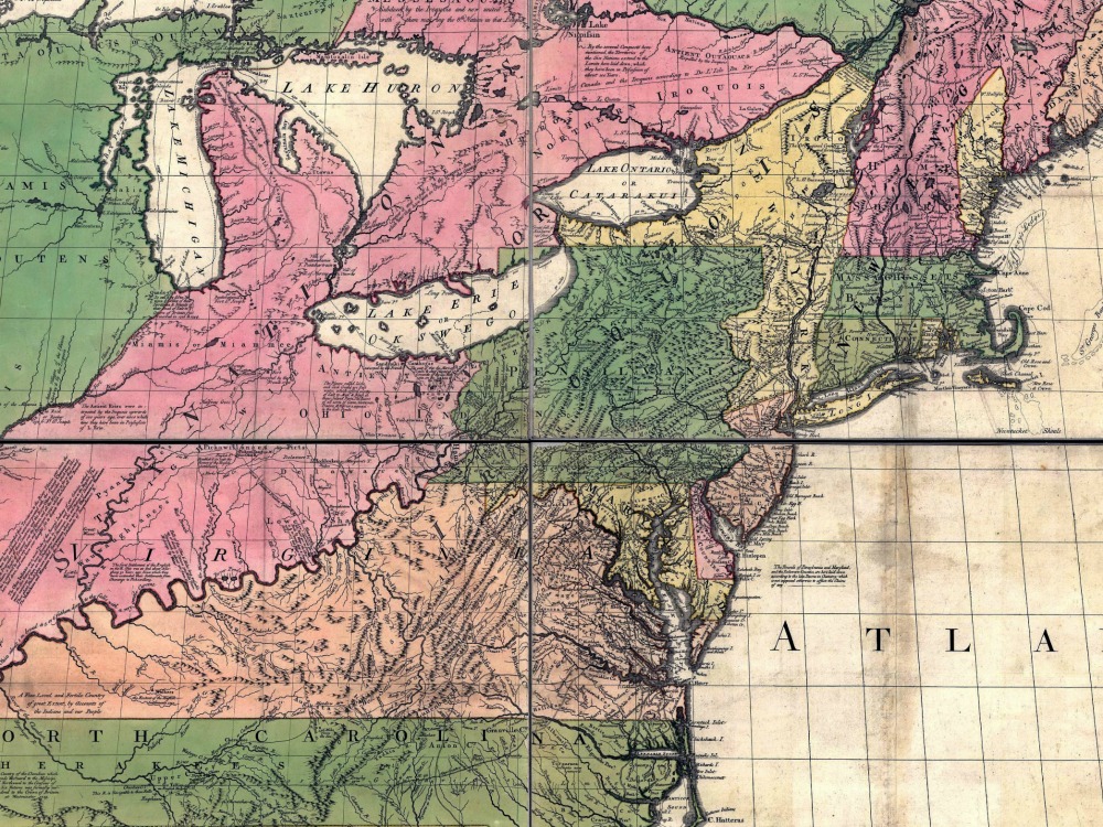
A map of the British and French dominions in North America by John Mitchell in 1755. Prepared on the eve of the French & Indian War, it was the second large format map of North America printed by the British, and included the most up to date information of the region.
- Stunning Full Colour Reproduction using the Most Advanced Technology Available
- Printed on Museum Matte Archival Paper 310gm
- Unique Conversation Piece for your Home or Business
- Frame not included