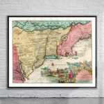
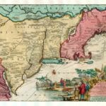
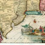
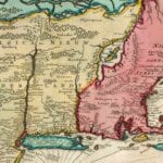
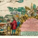
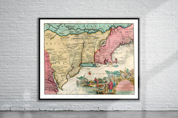


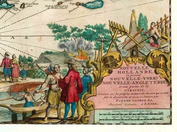
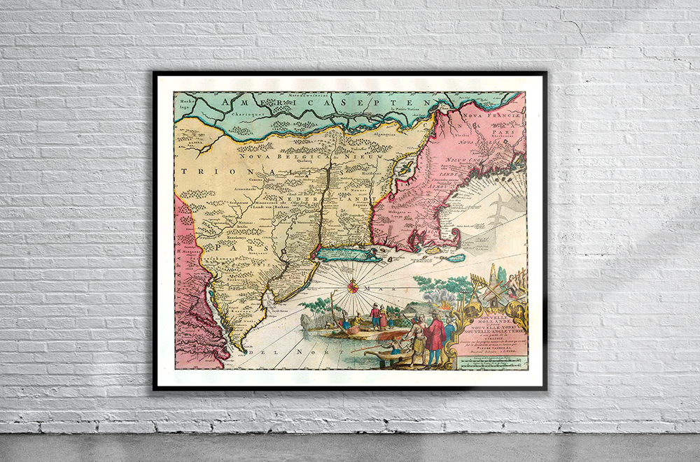
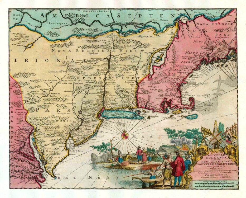
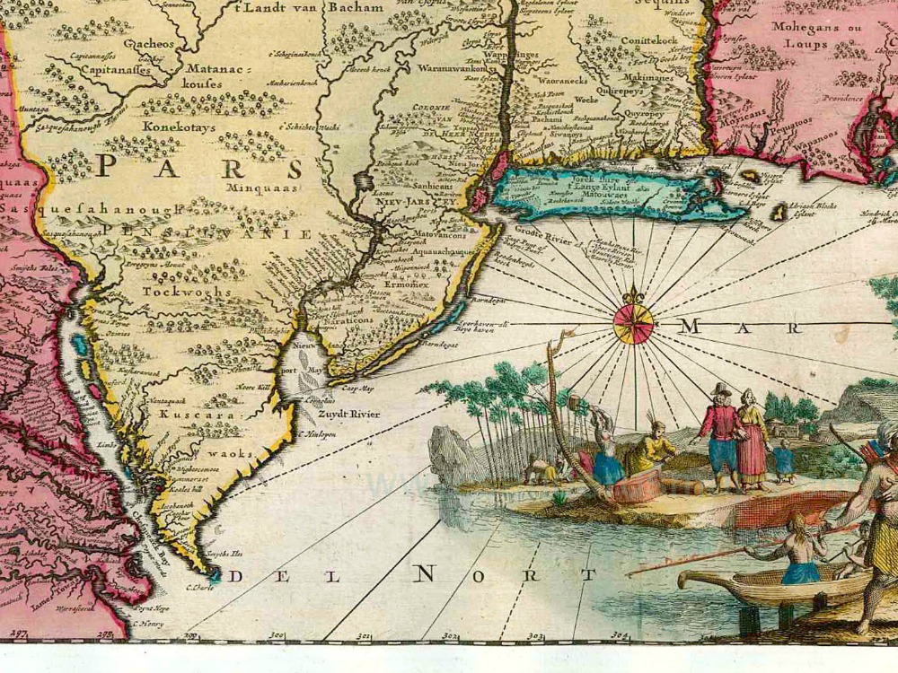
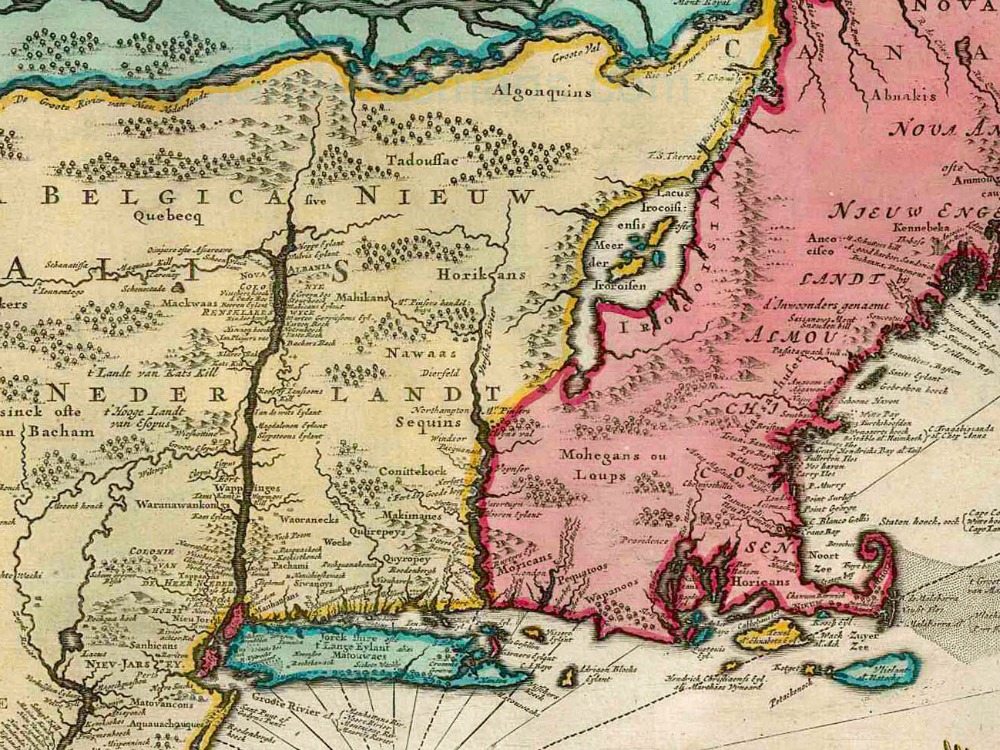
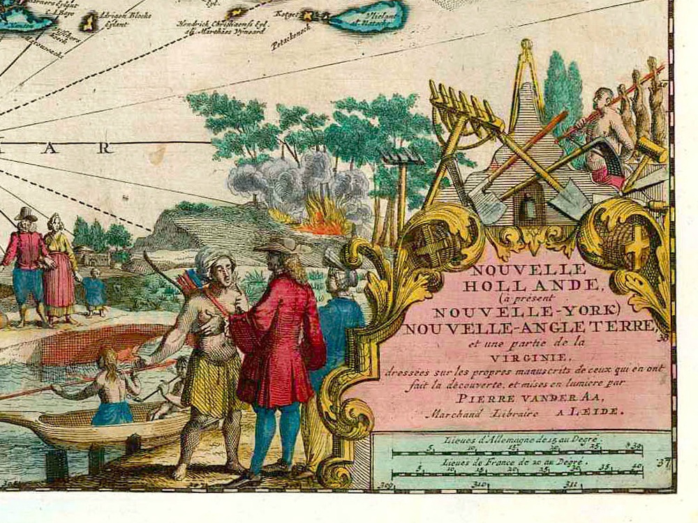
Vintage Map of New England and the surrounding areas by Peter Van Der Aa from 1713. The map is full of Indian names, but many familiar colonial names also appear such as Manhattan and Jamestown.
- Stunning Full Colour Reproduction using the Most Advanced Technology Available
- Printed on Museum Matte Archival Paper 310gm
- Unique Conversation Piece for your Home or Business
- Frame not included