
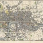
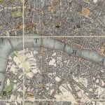
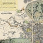

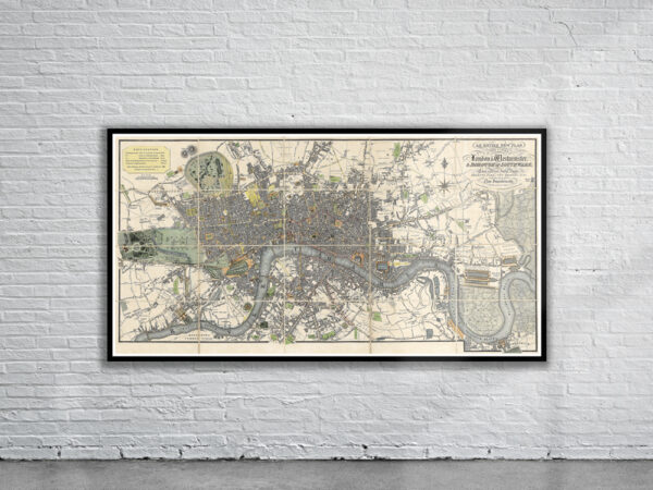
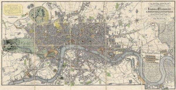

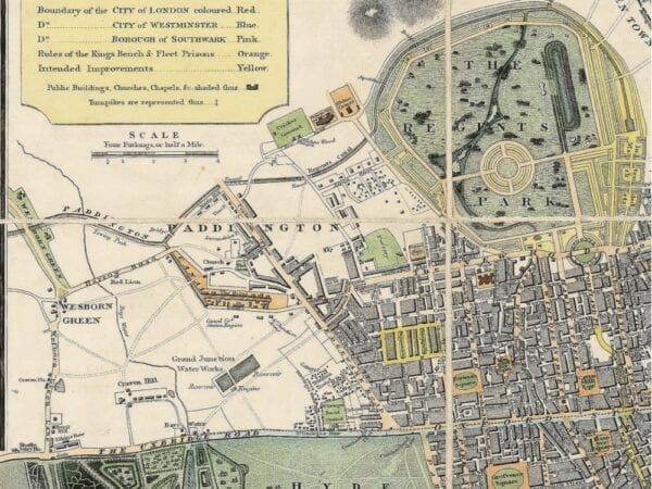
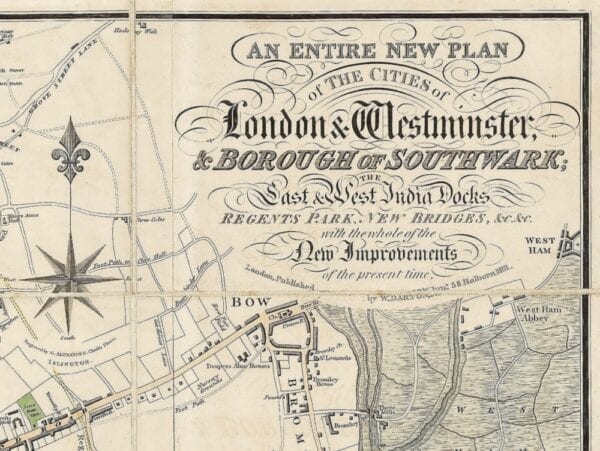
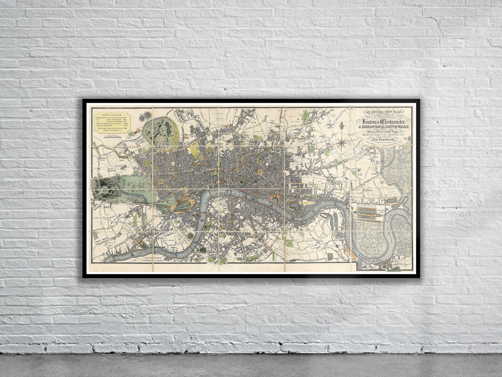
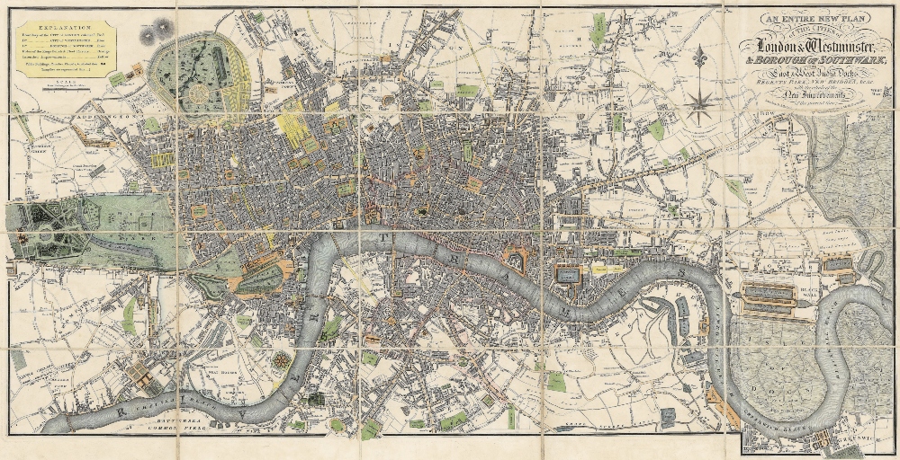
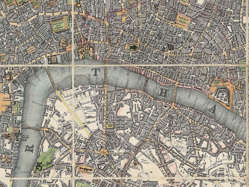
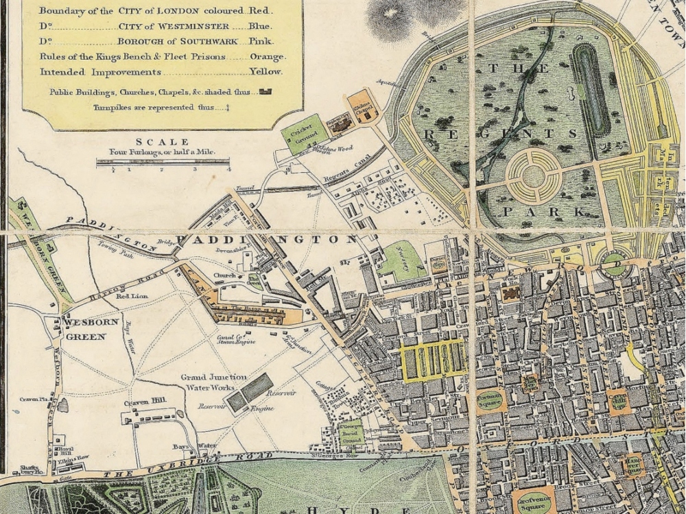
William Darton’s 1817 Map of London extending from Stepney as far east as Greenwich Marsh. The map shows the location of the soon-to-be-constructed Regent Street, running from Oxford Street to Piccadilly; and many other proposed improvements.
- Stunning Full Colour Reproduction using the Most Advanced Technology Available
- Printed on Museum Matte Archival Paper 310gm
- Unique Conversation Piece for your Home or Business
- Frame not included