
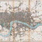
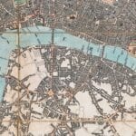
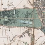

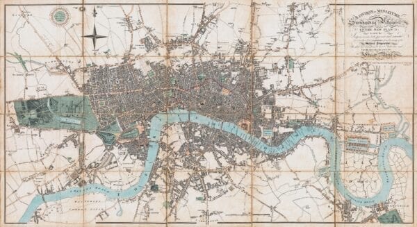
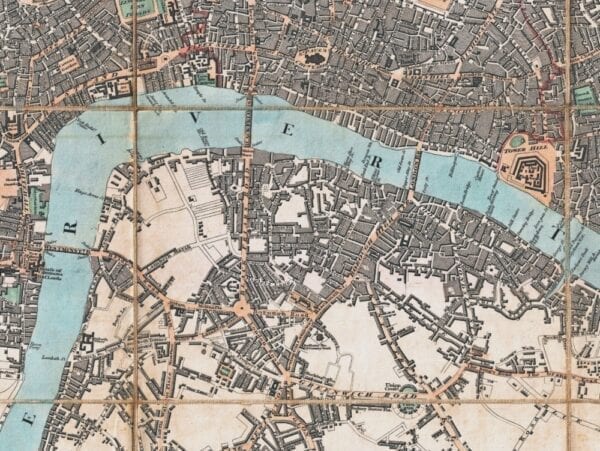
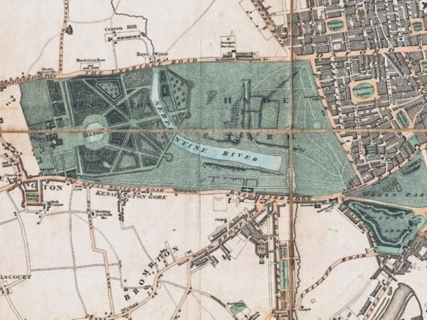
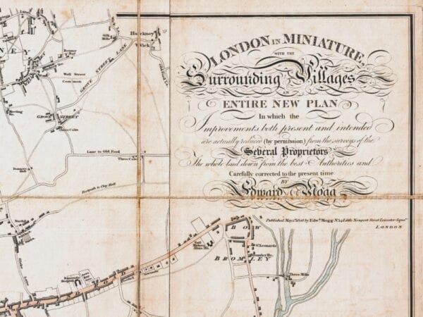
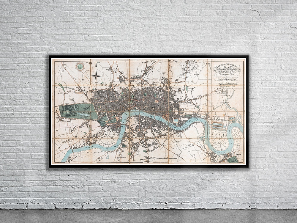
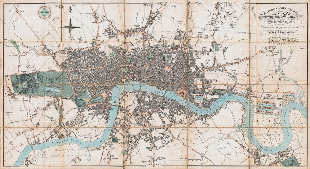
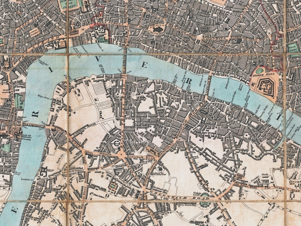
Mogg’s Pocket Map of London from 1806. The map covers the central part of London from Kensington to Greenwich and the East India Docks.
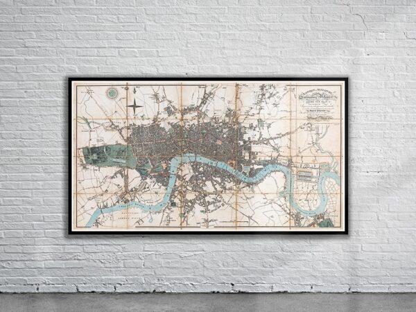
- Stunning Full Colour Reproduction using the Most Advanced Technology Available
- Printed on Museum Matte Archival Paper 310gm
- Unique Conversation Piece for your Home or Business
- Frame not included