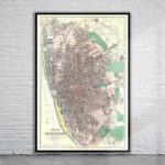
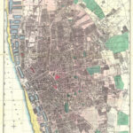

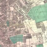
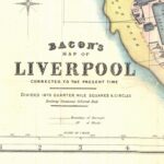
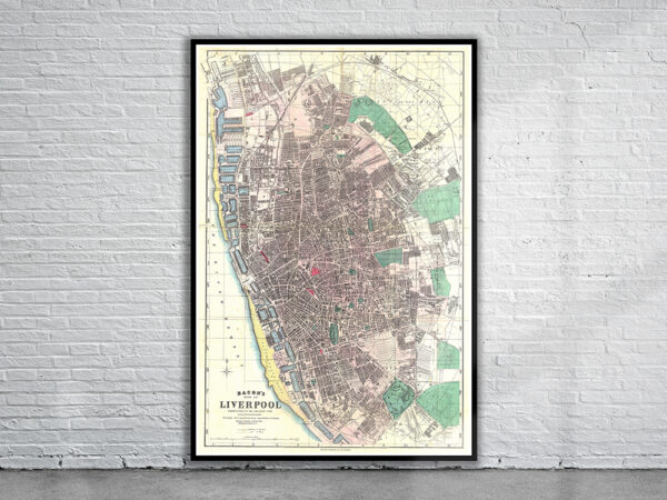
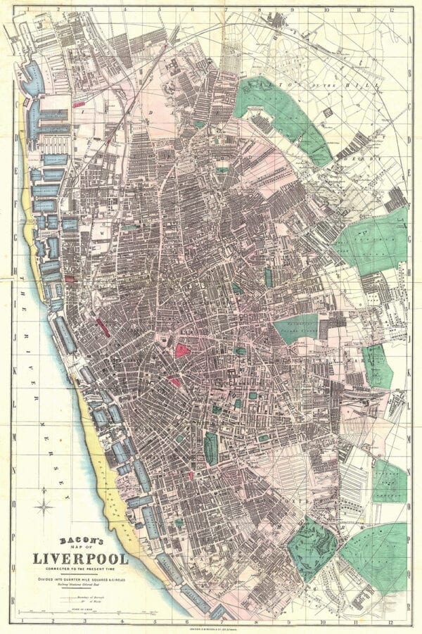
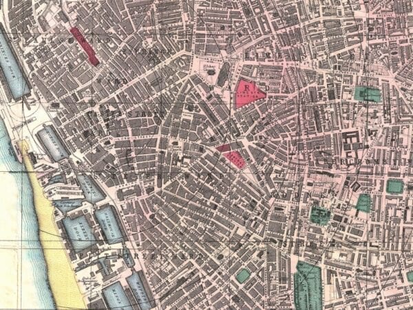
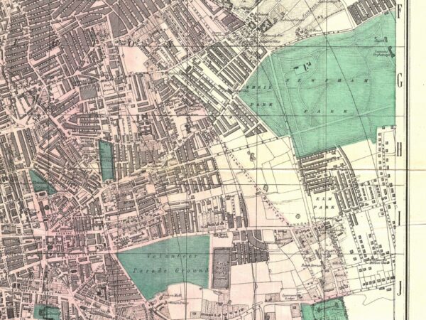
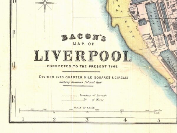
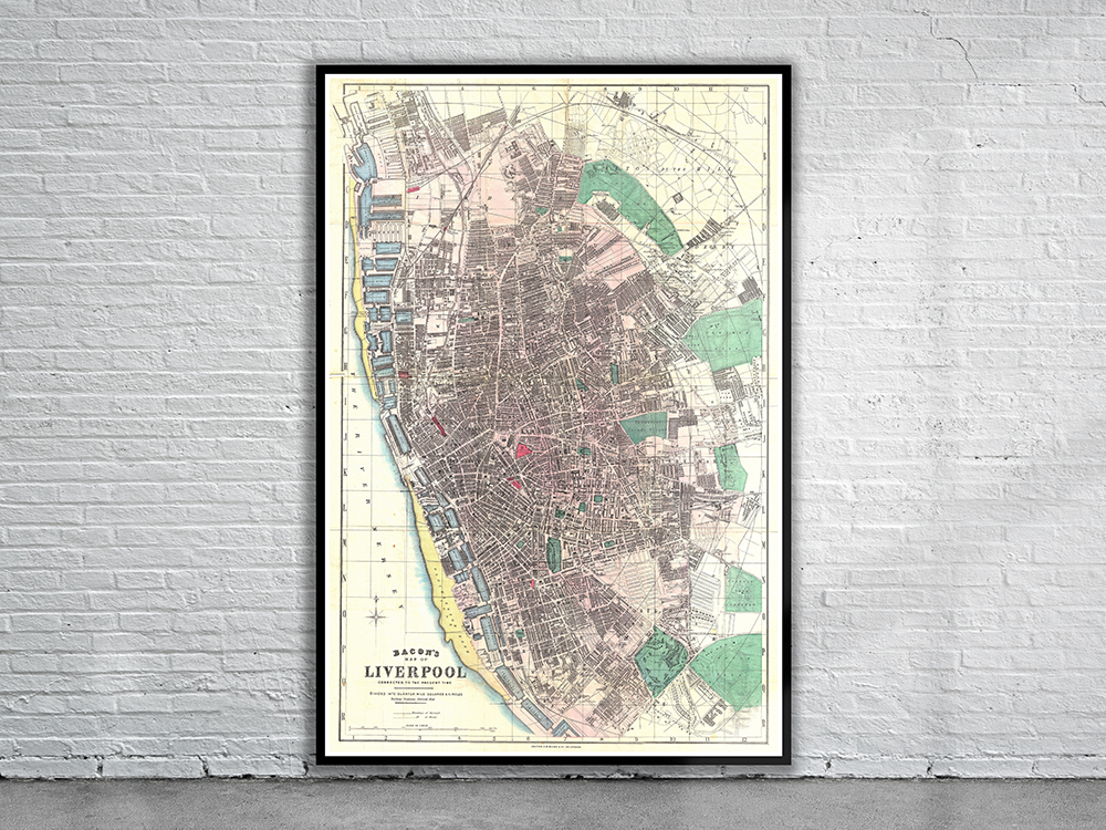
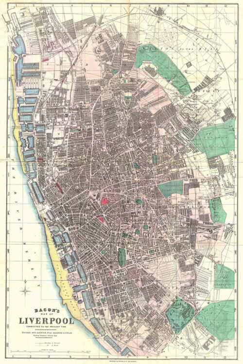
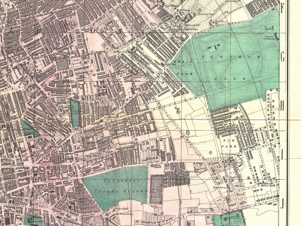
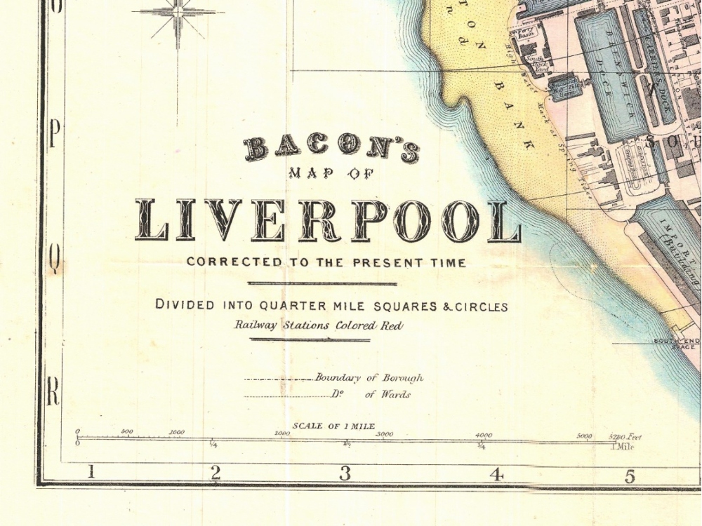
Bacons 1890 travellers pocket map of Liverpool, England. The Map depicts the various docks, rail stations, churches, municipal buildings, parks, and other important buildings. Parks are highlighted in green, docks in blue, sandbars in yellow, and transportation hubs in red.
- Stunning Full Colour Reproduction using the Most Advanced Technology Available
- Printed on Museum Matte Archival Paper 310gm
- Unique Conversation Piece for your Home or Business
- Frame not included