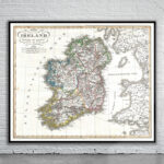
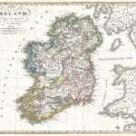
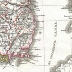
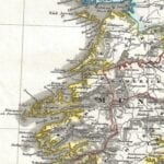
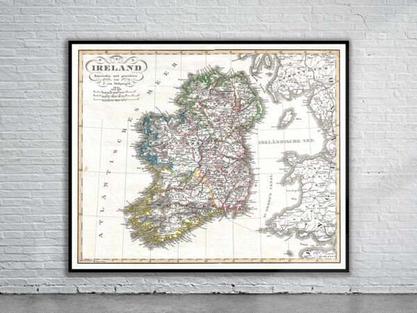
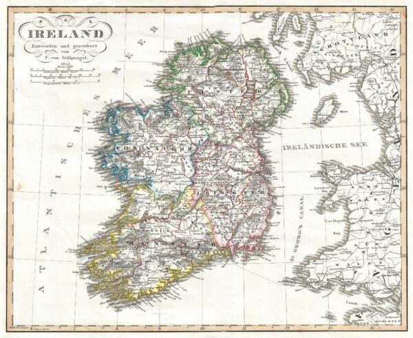


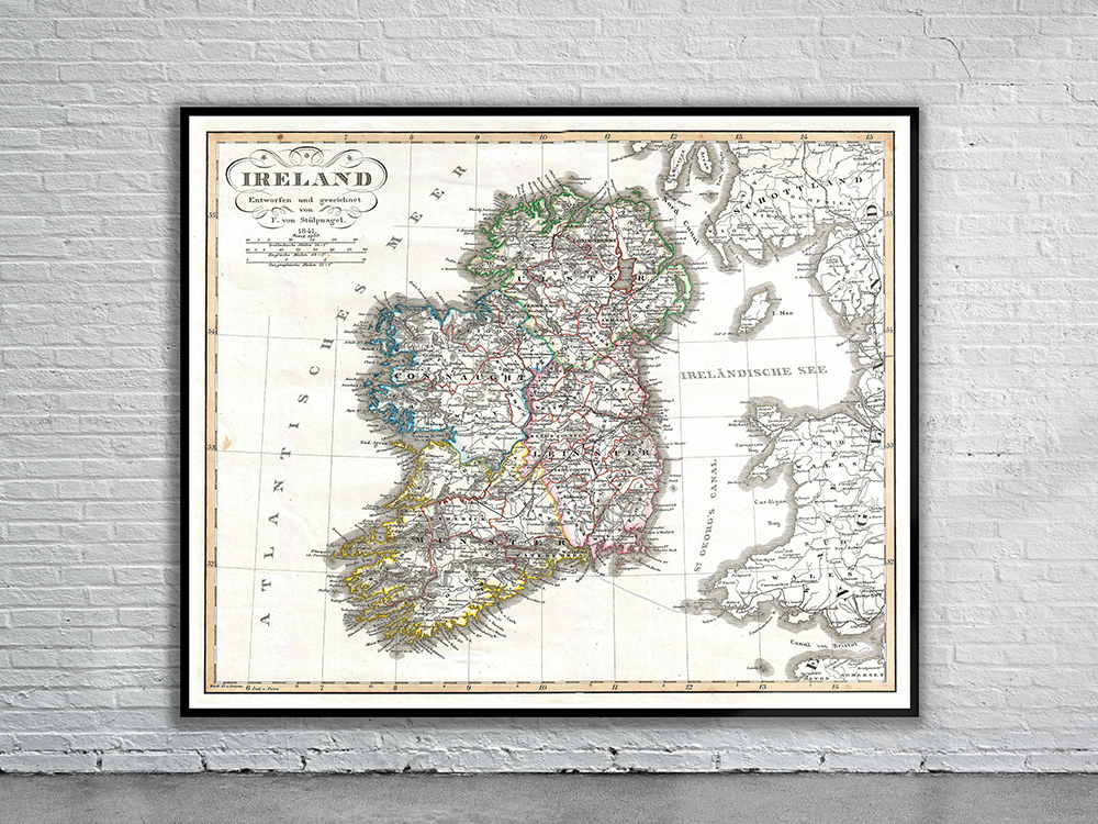
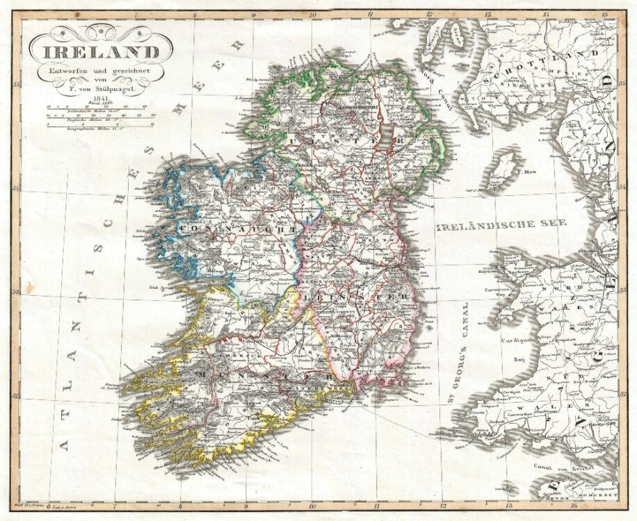
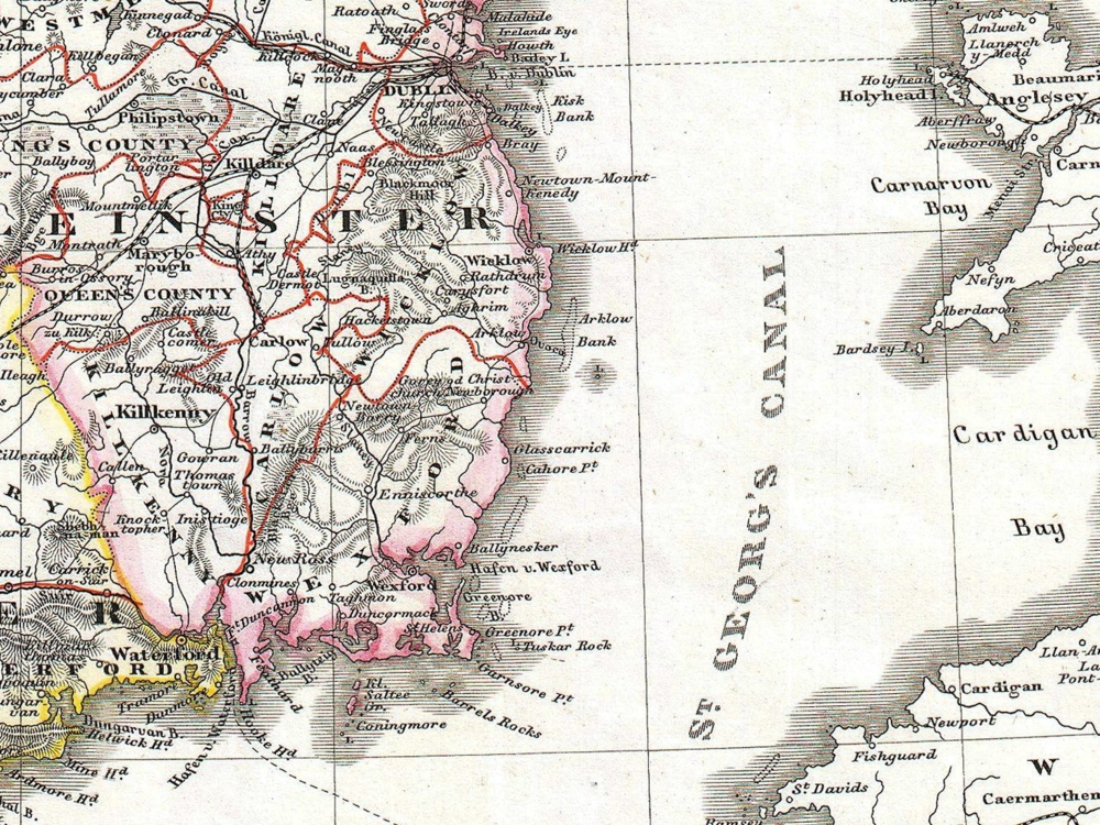
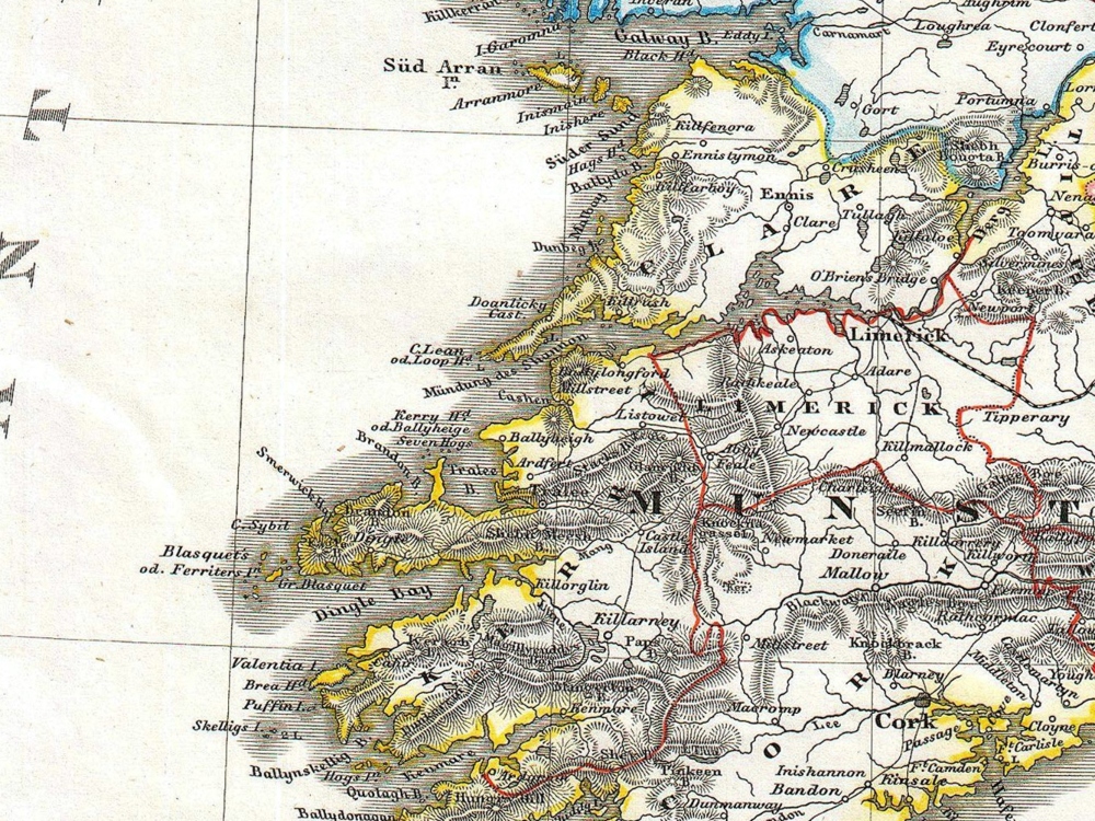
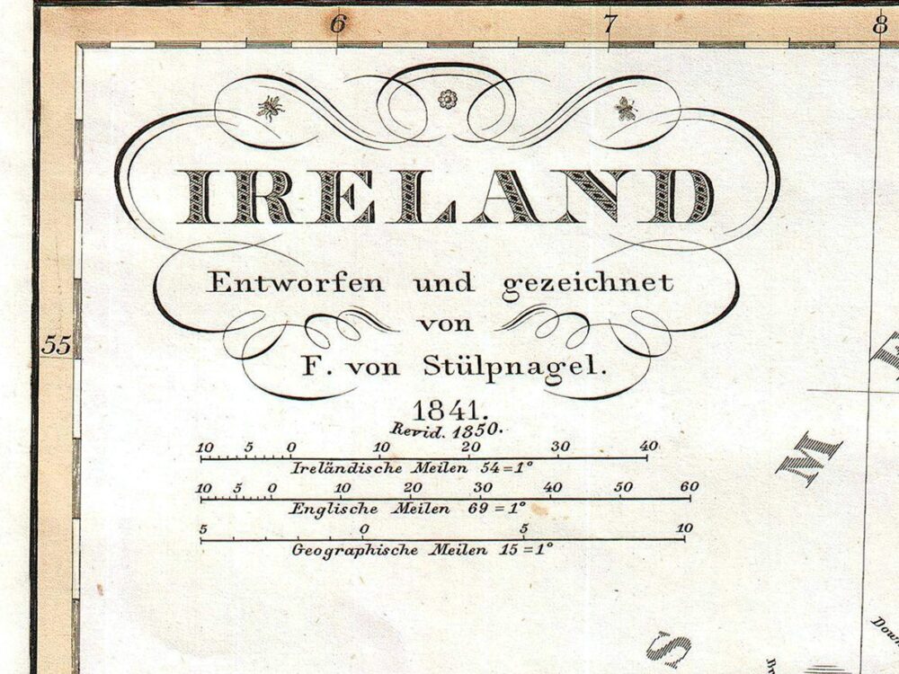
Justus Perthes Map of Ireland shows the island divided into its four provinces: Ulster, Connaught, Leinster and Munster. Shows roads, railroads, local political divisions and some of the surrounding waters and territories in England and Scotland.
- Stunning Full Colour Reproduction using the Most Advanced Technology Available
- Printed on Museum Matte Archival Paper 310gm
- Unique Conversation Piece for your Home or Business
- Frame not included