
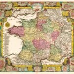


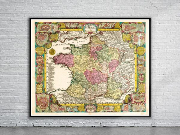


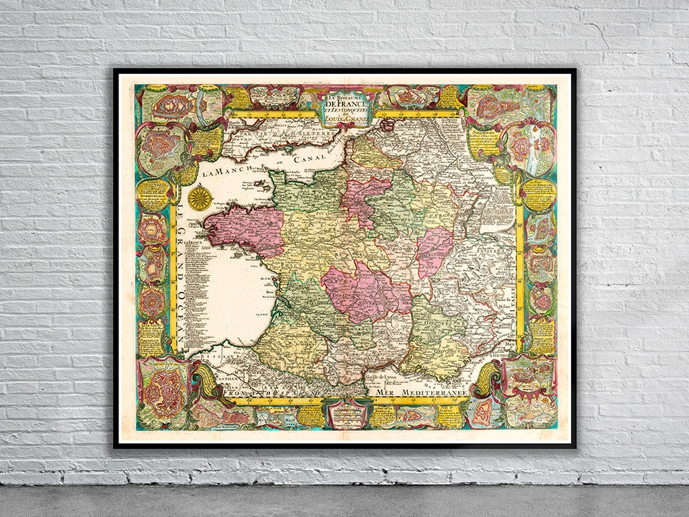
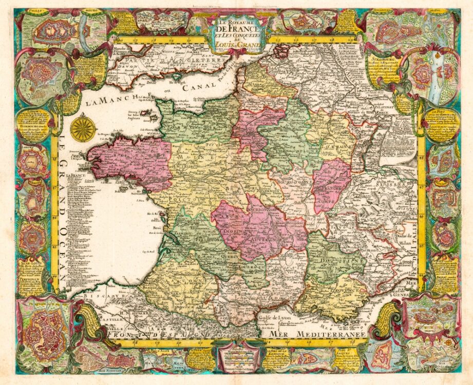
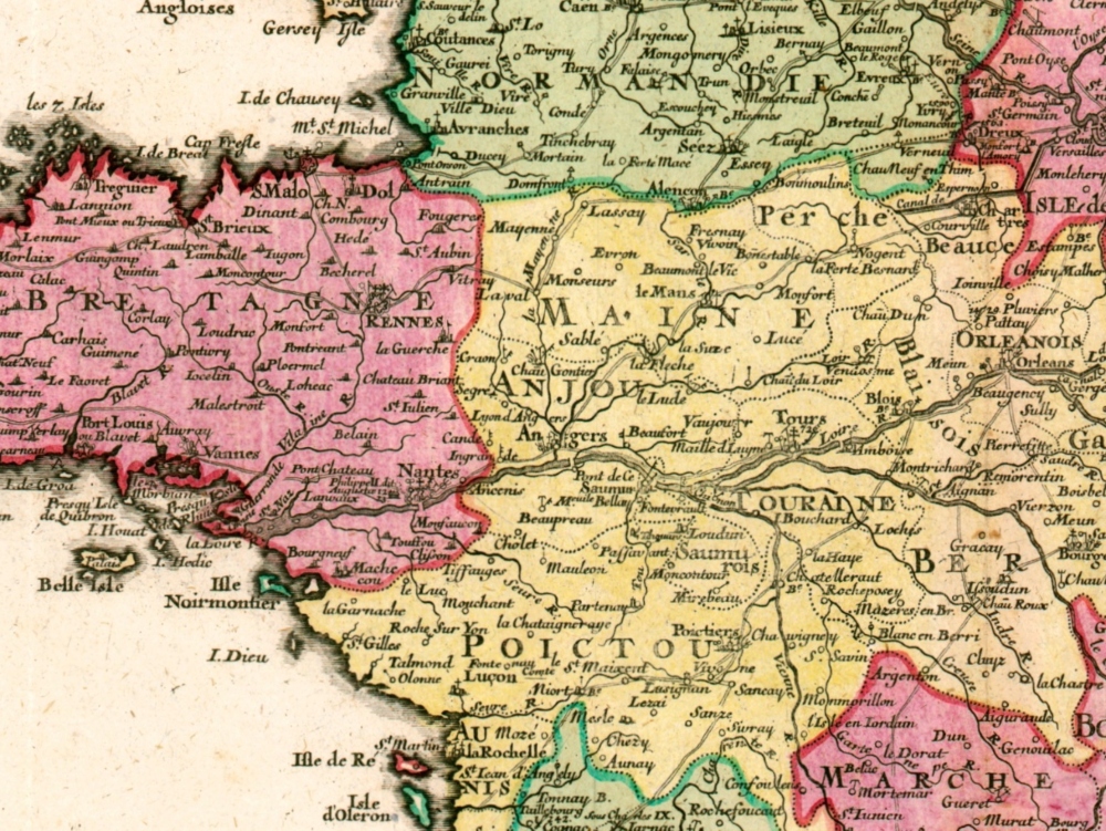
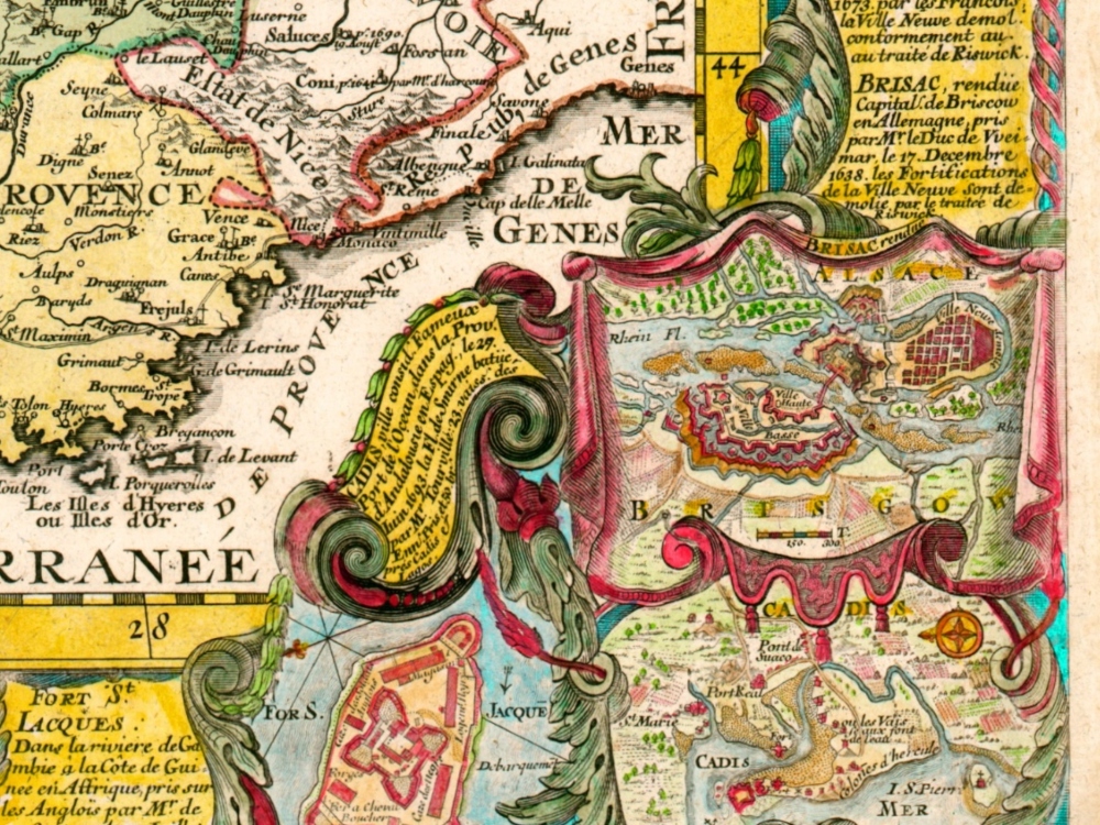
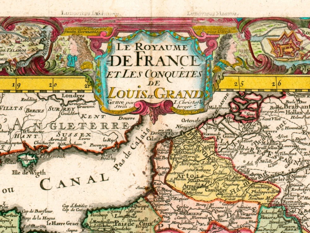
Vintage Map of France from 1760 by Lotter. Lotter’s 1760 Map of France was published to celebrate the conquests of Louis XIV. The map is bordered by 19 city plans of locations that featured prominently in Louis’ campaigns.
- Stunning Full Colour Reproduction using the Most Advanced Technology Available
- Printed on Museum Matte Archival Paper 310gm
- Unique Conversation Piece for your Home or Business
- Frame not included