
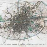
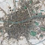
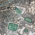
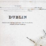
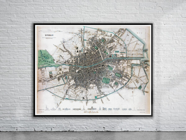


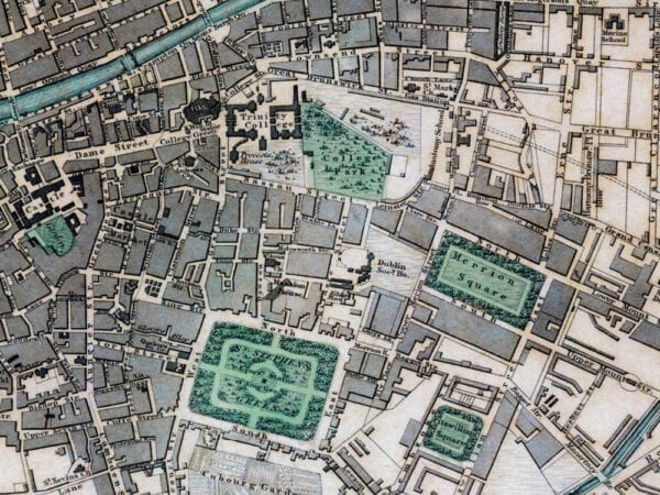
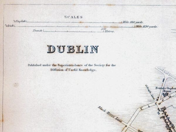
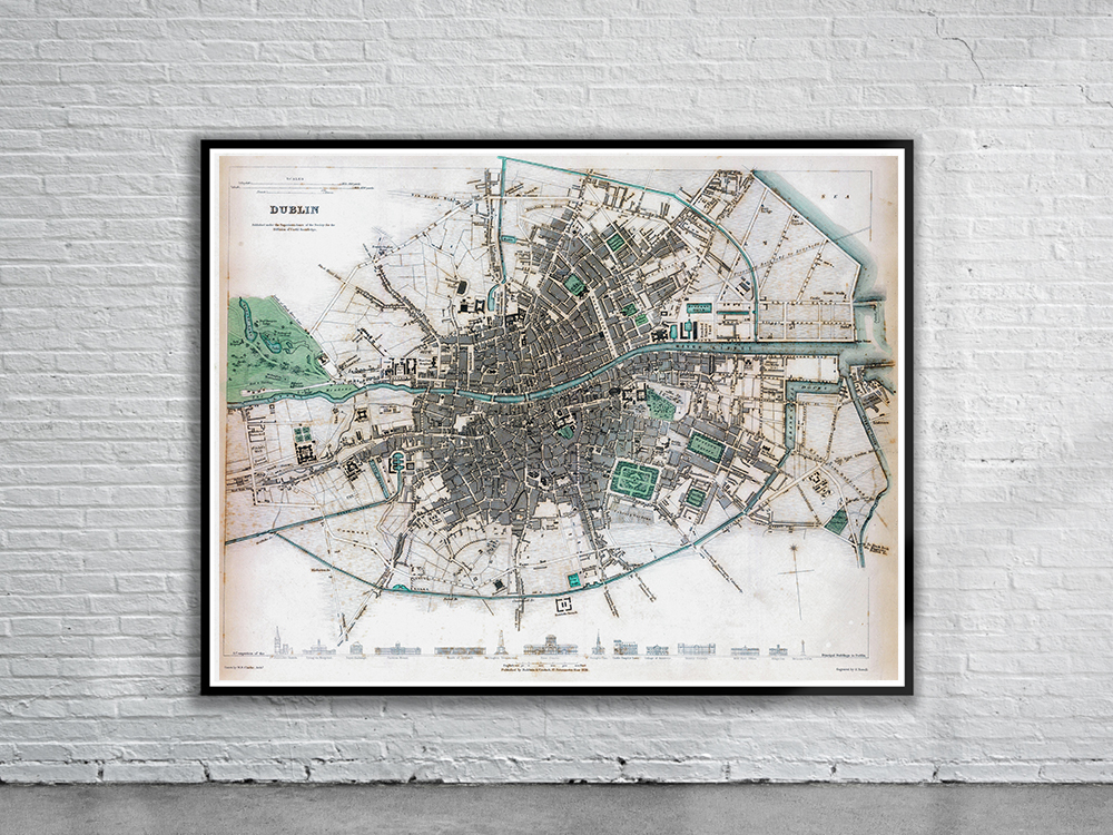
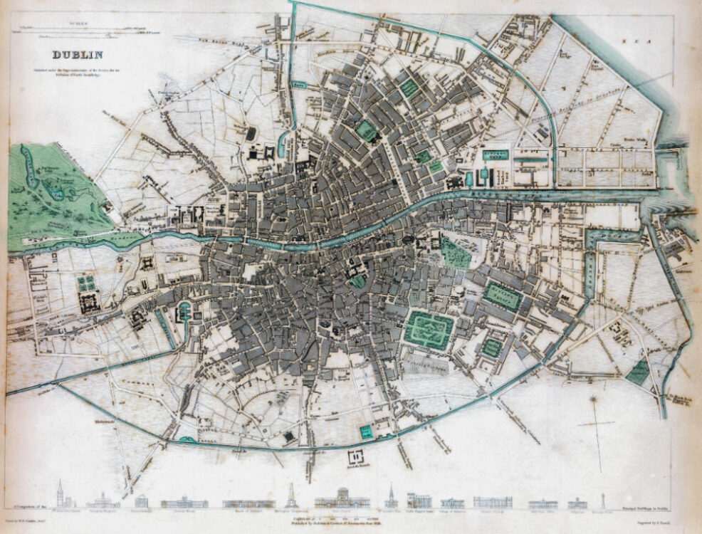
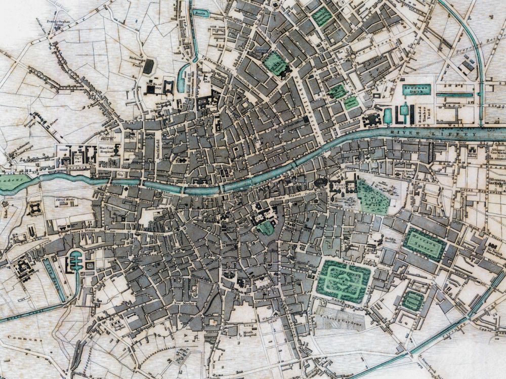
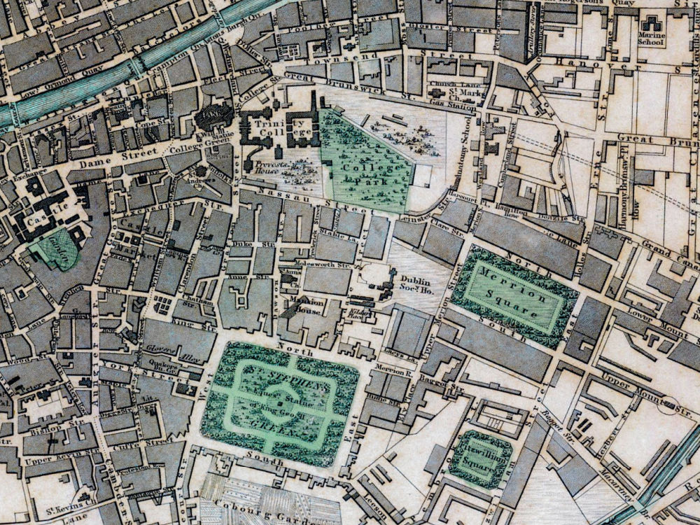
A Vintage Map of Dublin drawn by W. B. Clarke in 1836 and published in Chapman and Hall’s Atlas of 1844. The Map depicts the city of Dublin and includes drawings of 14 of the principal buildings in Dublin at the time, including among others – Trinity College, The Four Courts, The Bank of Ireland and the Wellington Monument.
- Stunning Full Colour Reproduction using the Most Advanced Technology Available
- Printed on Museum Matte Archival Paper 310gm
- Unique Conversation Piece for your Home or Business
- Frame not included