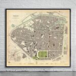
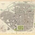
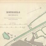
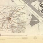
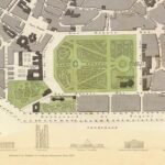
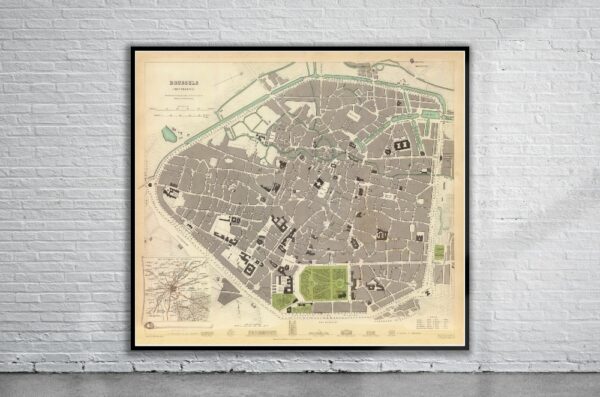
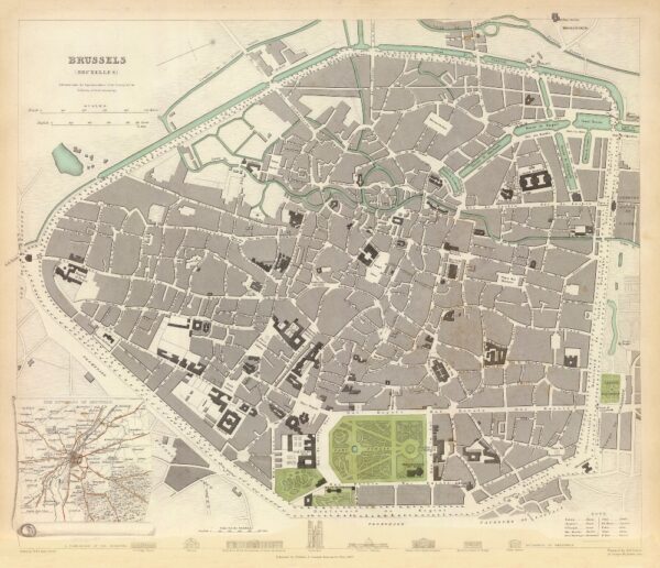

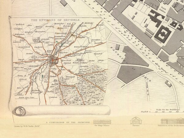
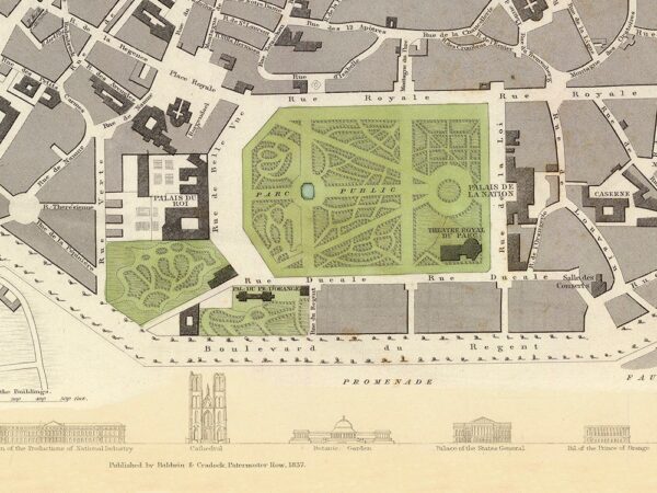
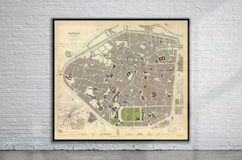
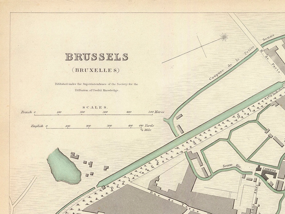
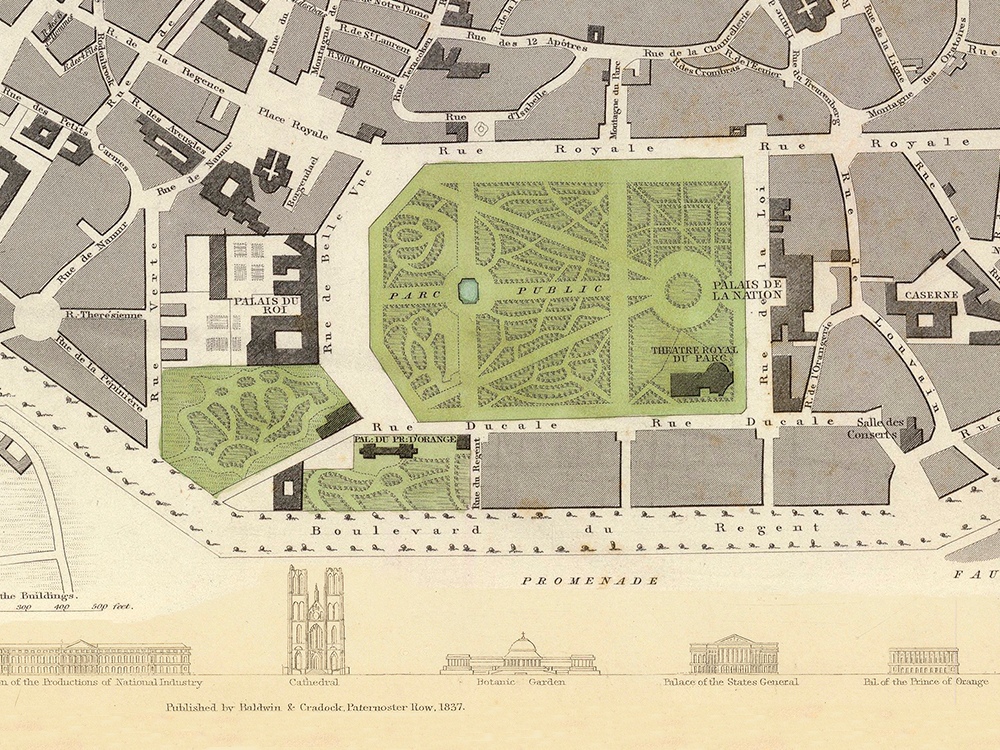
A Vintage Map of Brussels from 1837 drawn by W.B. Clarke and engraved by B.R. Davies and published by Baldwin and Cradock. Along the bottom of the map are views of eight landmark buildings. Also included is an inset of the environs of the city.
On the map are the Grand Palace, Royal Palace, the St. Gudula Cathedral, as well as many other landmarks.
This map was commissioned by The Society for the Diffusion of Useful Knowledge’ (S.D.U.K.). The S.D.U.K., founded in 1826, was a philanthropist organisation established with the purpose of supplying the public with accessible and affordable educational material, particularly in the form of maps.
- Stunning Full Colour Reproduction using the Most Advanced Technology Available
- Printed on Museum Matte Archival Paper 310gm
- Unique Conversation Piece for your Home or Business
- Frame not included