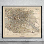
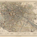
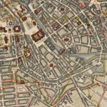
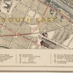

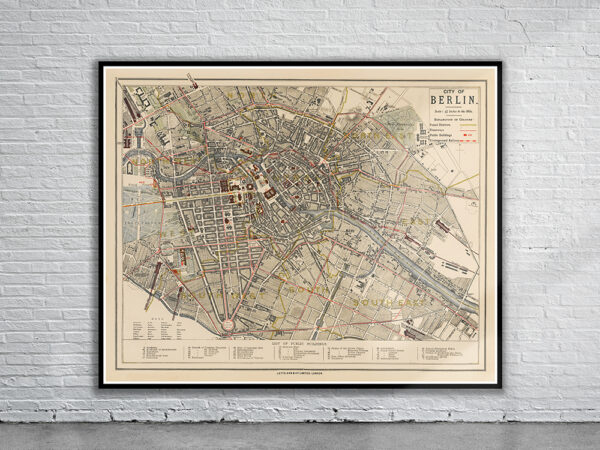
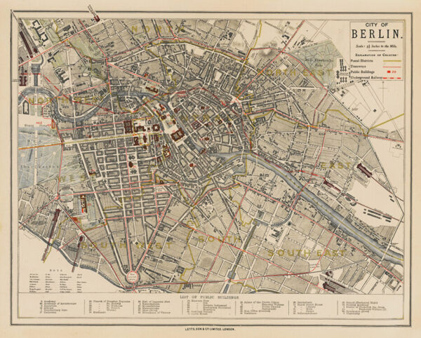
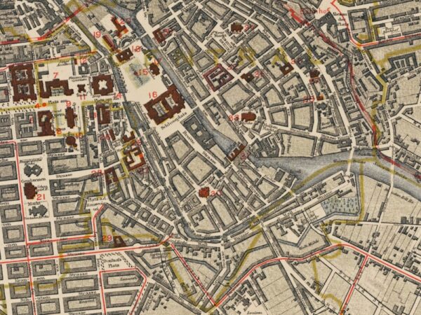
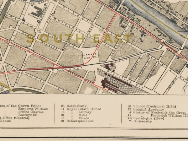
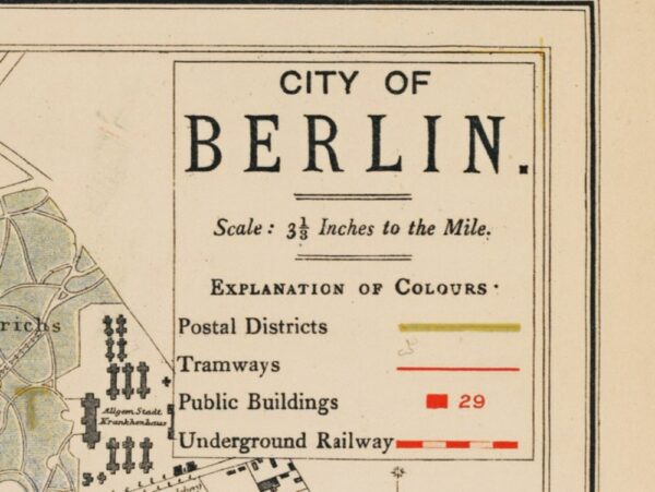
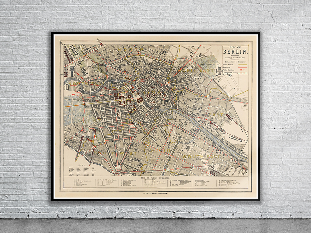
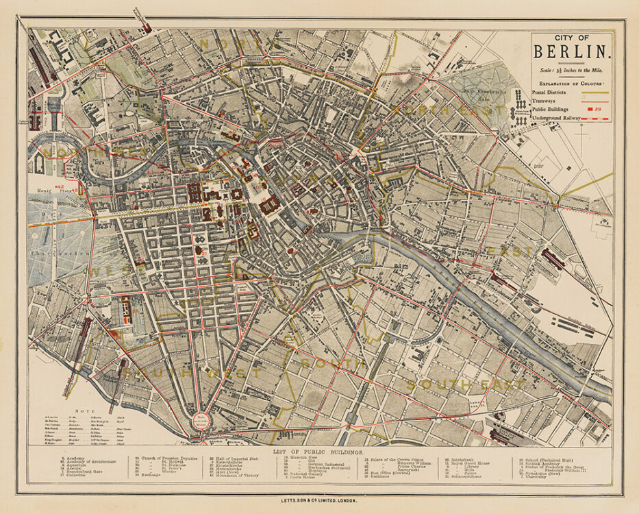
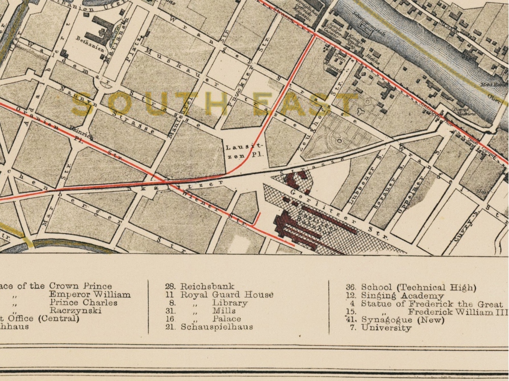
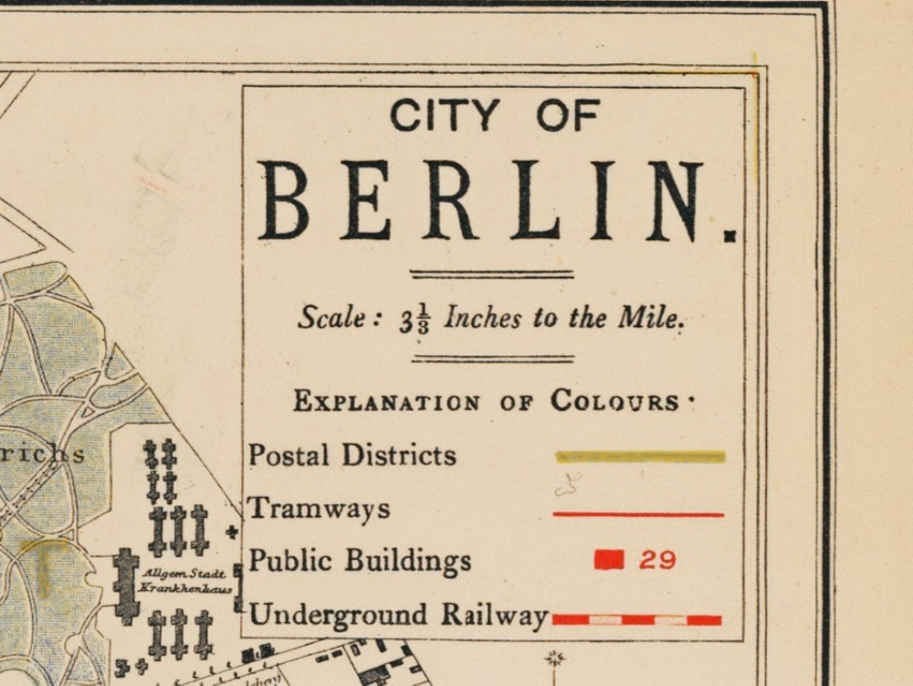
Letts map of Berlin from the latter half of the 19th century shows many labeled public buildings such as museums, schools, and churches, as well as postal districts, tramways, and underground railways. It is from Letts’s Popular Atlas and stretches from the zoo on the west side of Berlin to Invalidenstrasse in the north, to Friedens- and Memelerstrasse in the east, and Gitschiner Strasse in the south.
- Stunning Full Colour Reproduction using the Most Advanced Technology Available
- Printed on Museum Matte Archival Paper 310gm
- Unique Conversation Piece for your Home or Business
- Frame not included