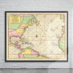
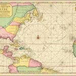
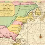
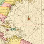
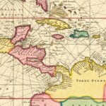
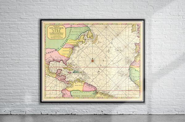

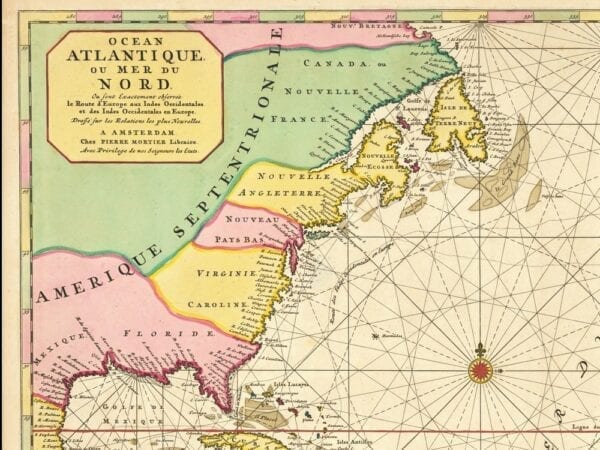


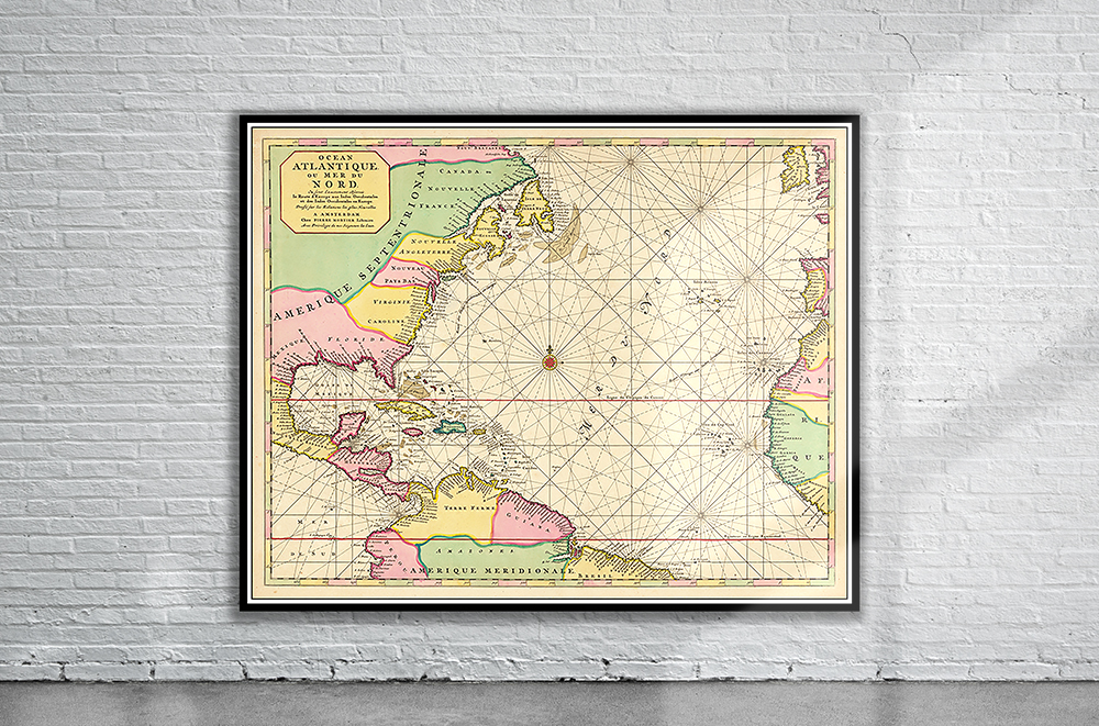
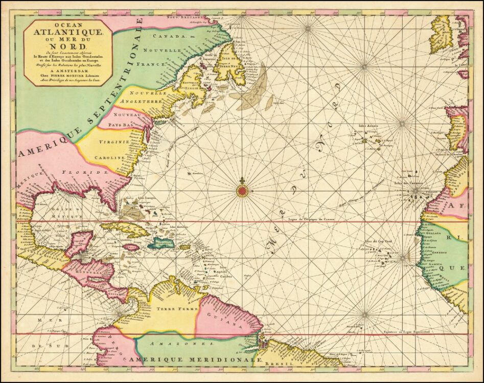
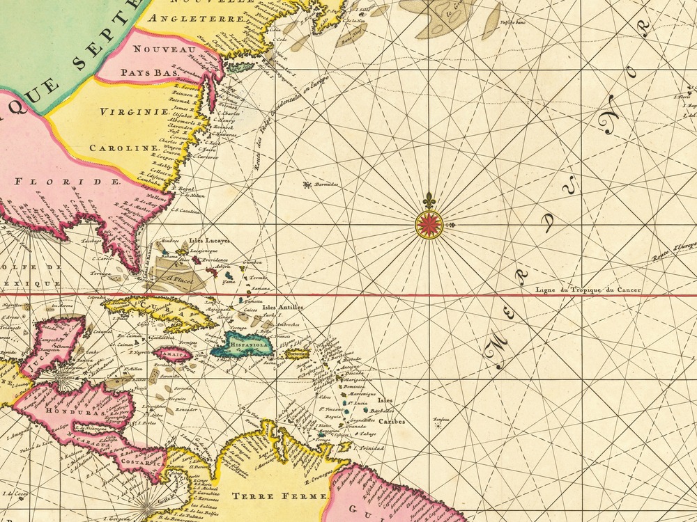
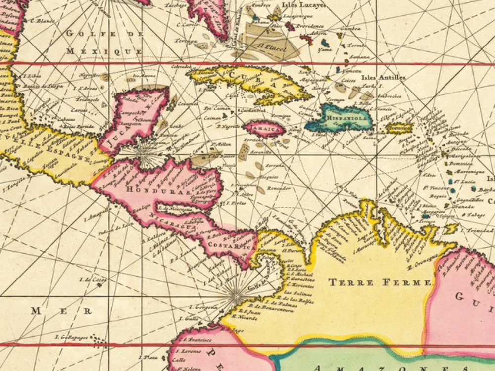
Pierre Mortier’s Map of the Atlantic Ocean including eastern North America, Central America, northern part of South America, and the Caribbean islands. The Map also depicts the shipping route to and from America.
- Stunning Full Colour Reproduction using the Most Advanced Technology Available
- Printed on Museum Matte Archival Paper 310gm
- Unique Conversation Piece for your Home or Business
- Frame not included
