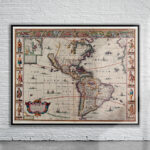
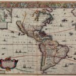
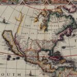
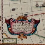
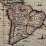
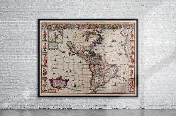
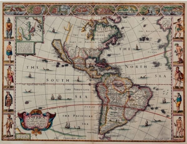
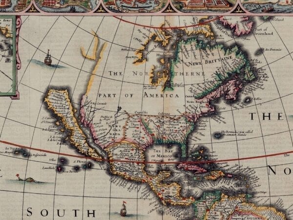
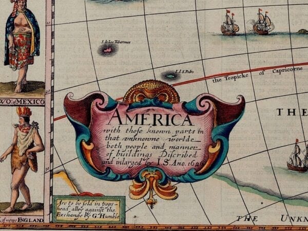
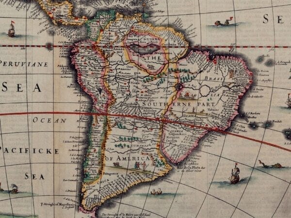
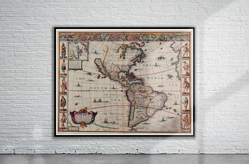
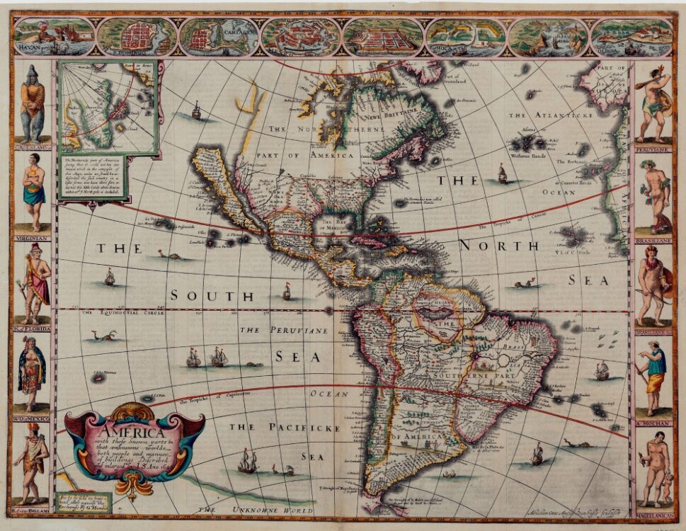
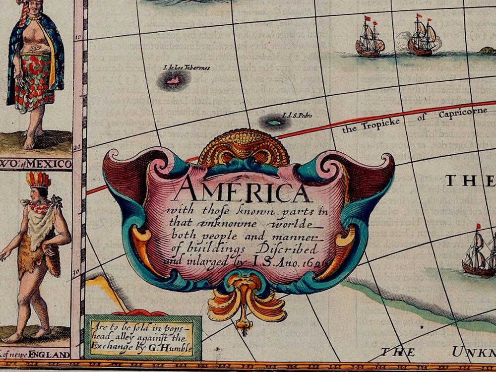
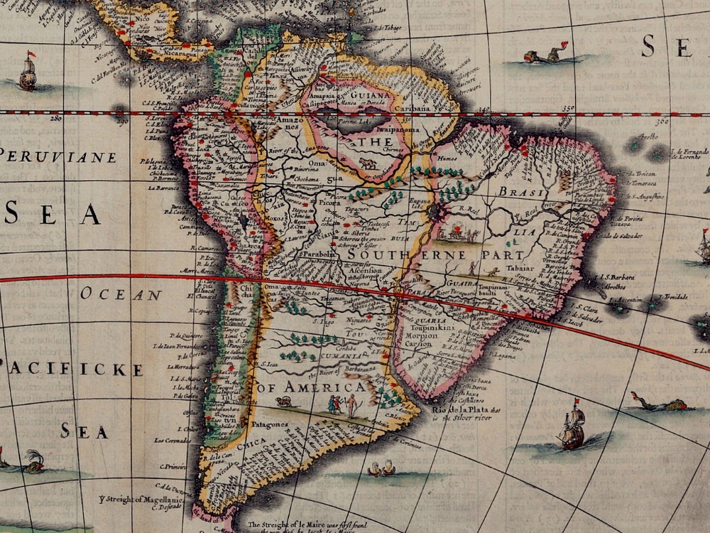
John Speed’s map of America from 1626. Plymouth and Jamestown are visible on the eastern seaboard. There are everal vignettes of whales and European sailing ships, with one pair of native canoes. Along the top edge are eight city views, with ten native figures along sides.
- Stunning Full Colour Reproduction using the Most Advanced Technology Available
- Printed on Museum Matte Archival Paper 310gm
- Unique Conversation Piece for your Home or Business
- Frame not included
