
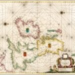
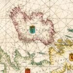
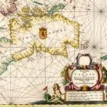

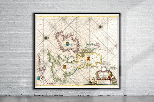
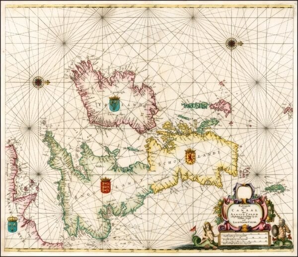
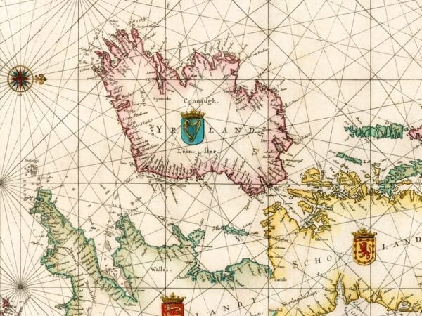
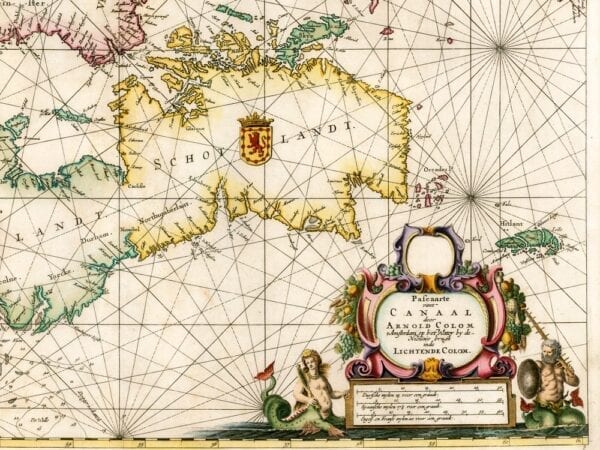
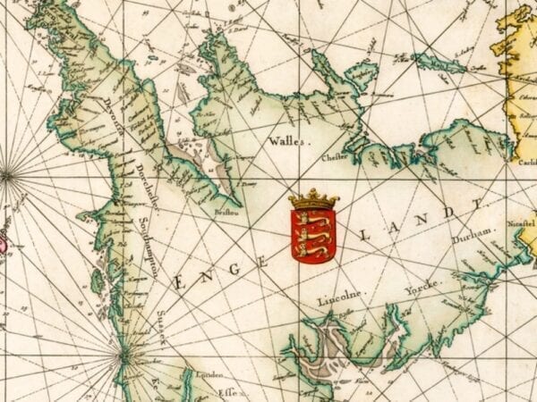
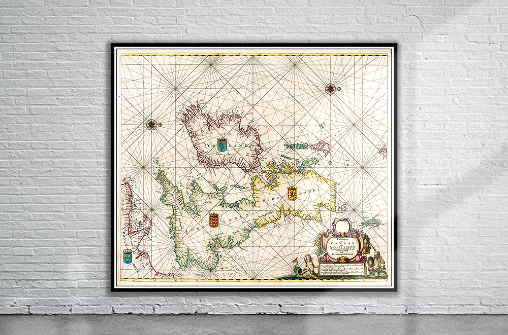
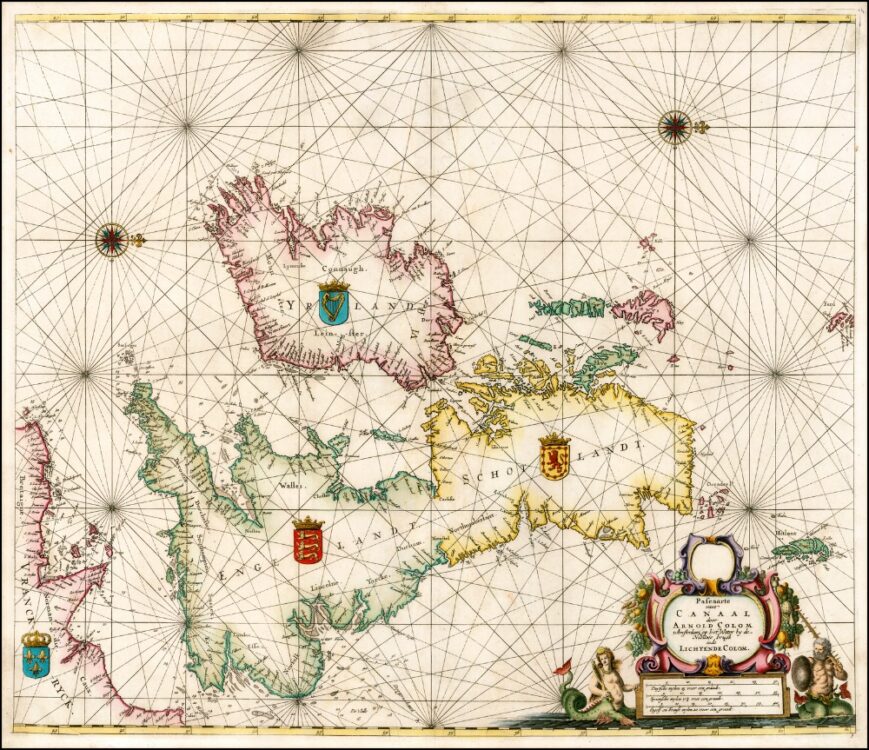
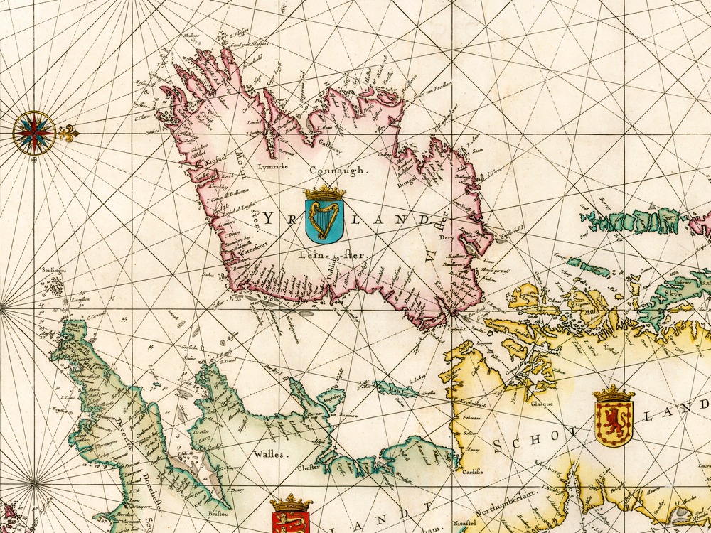
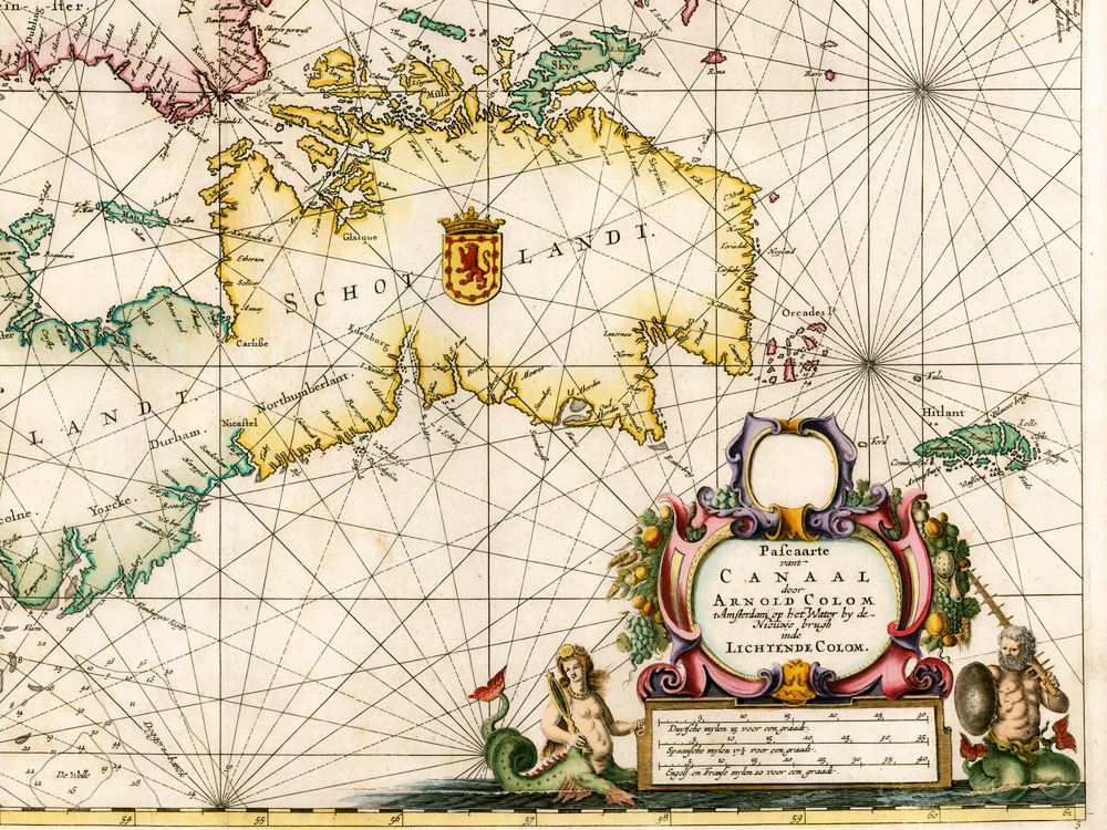
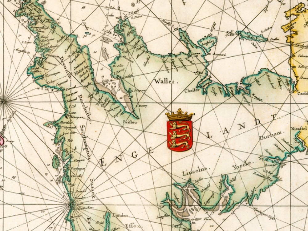
Pieter Goos’ Seas Chart of the British Isles from 1669. A rare and striking map, centred on the Isle of Man, and oriented with west to the top.
- Stunning Full Colour Reproduction using the Most Advanced Technology Available
- Printed on Museum Matte Archival Paper 310gm
- Unique Conversation Piece for your Home or Business
- Frame not included