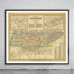
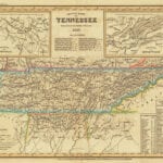

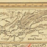
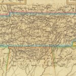
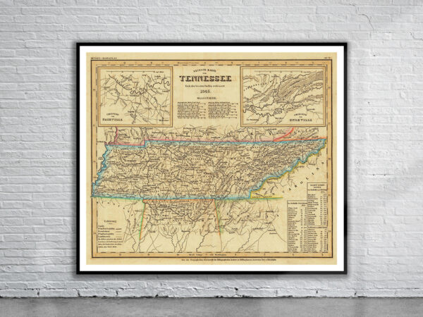

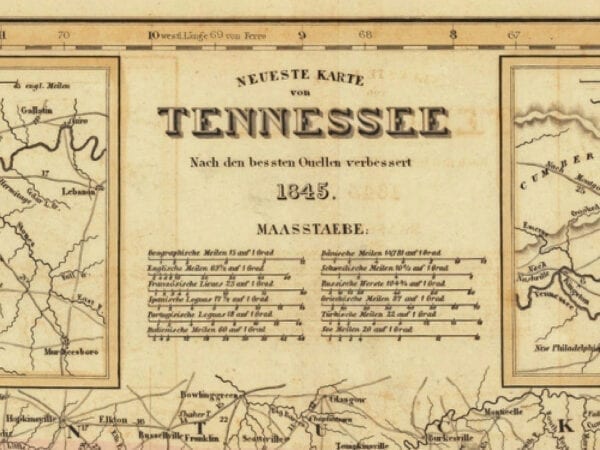

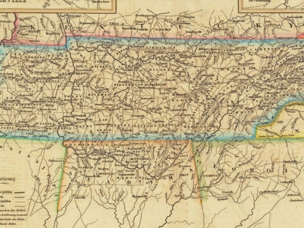
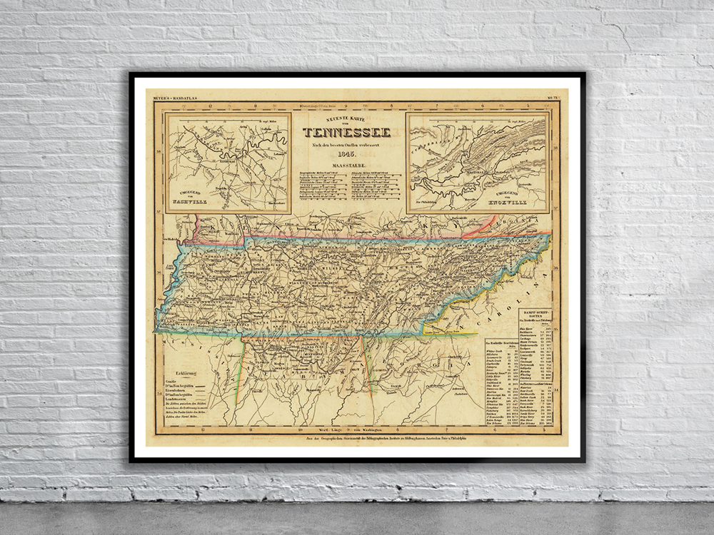
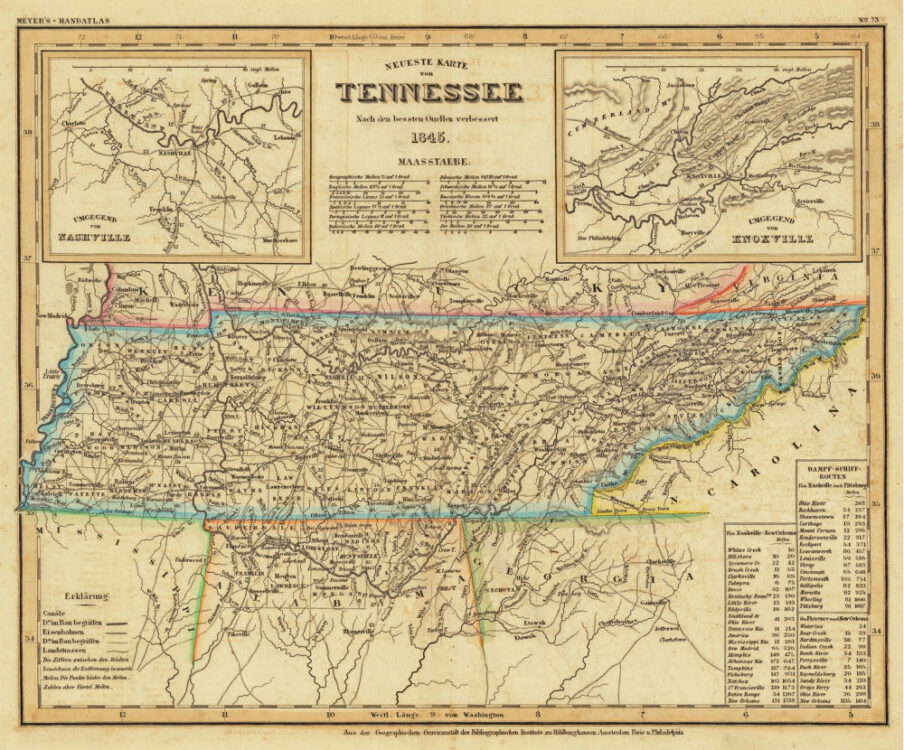
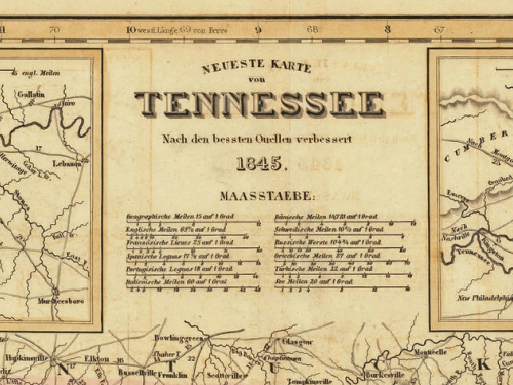
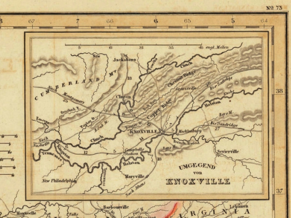
Joseph Meyer’s Map of Tennessee from 1845. The Map depicts counties, towns, roads, canals, lakes, etc. In the top left and right corners are detailed insets of Knoxville and Nashville.
- Stunning Full Colour Reproduction using the Most Advanced Technology Available
- Printed on Museum Matte Archival Paper 310gm
- Unique Conversation Piece for your Home or Business
- Frame not included