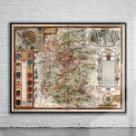


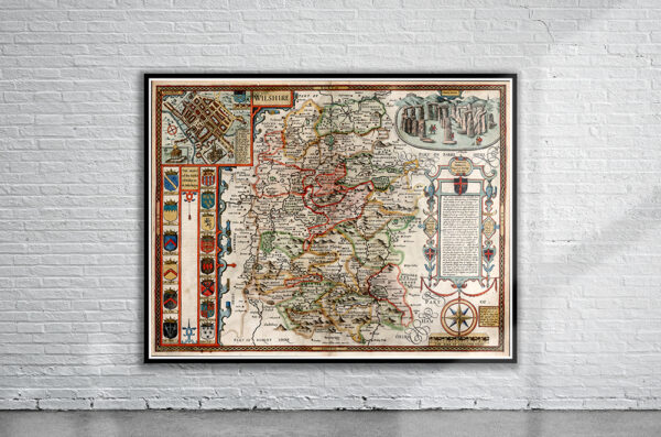
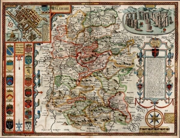
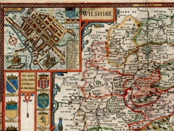
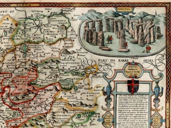
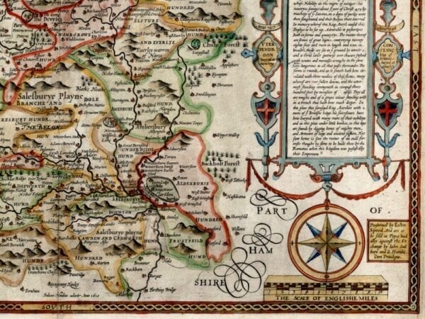
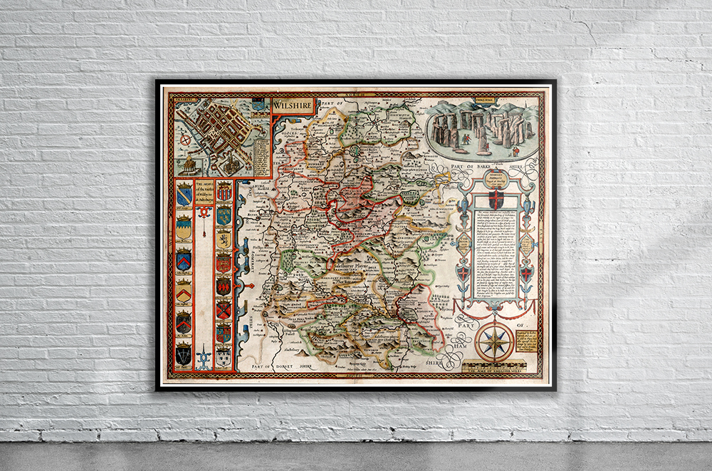
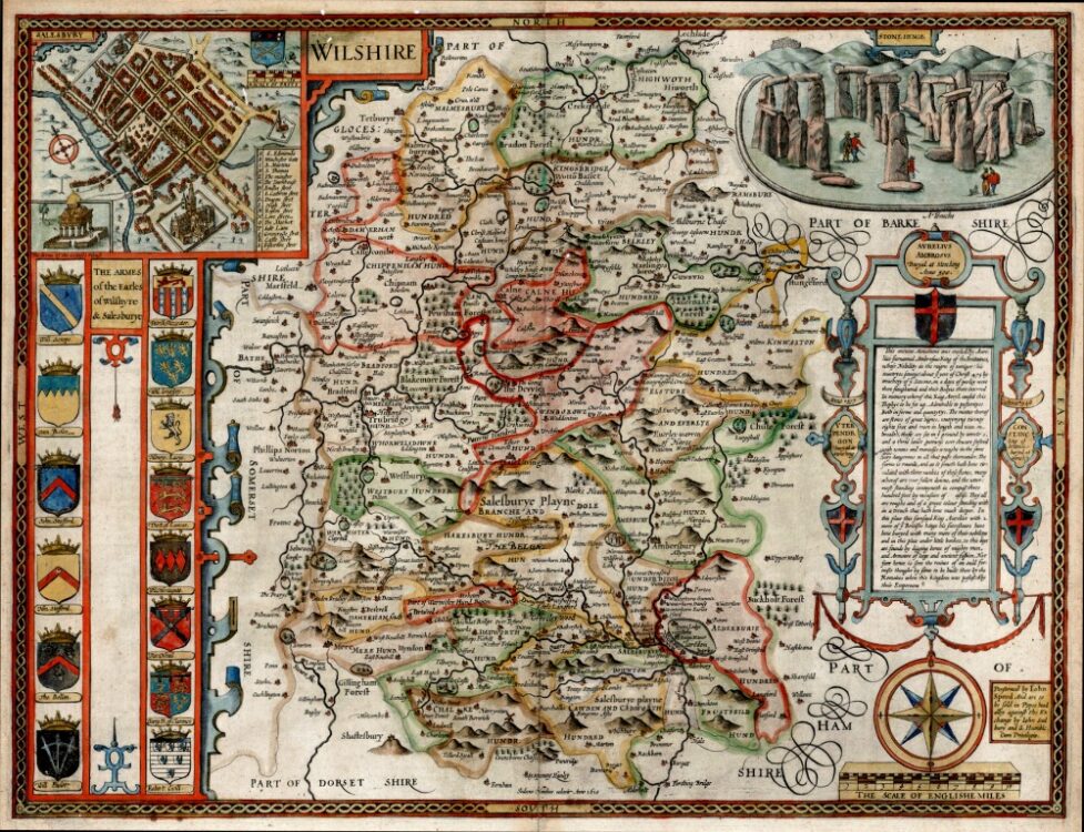
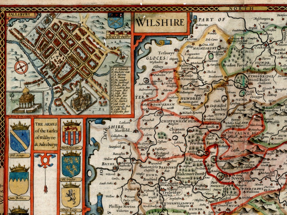
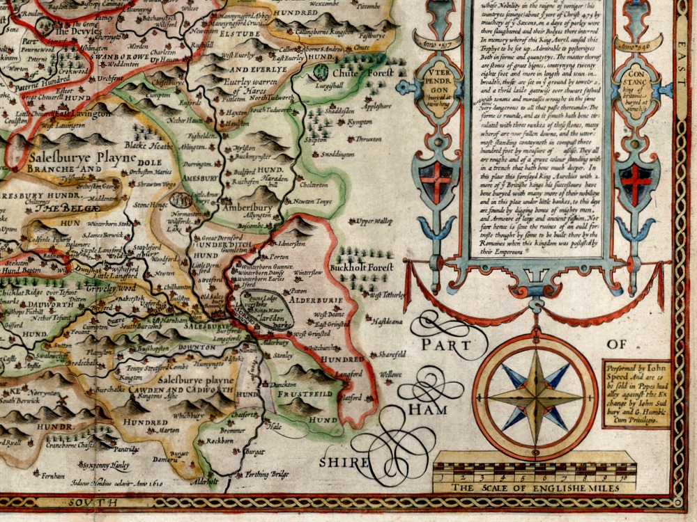
John Speed’s Medieval Map of Wiltshire from 1611. The Map first appeared in Speed’s Theatre of the Empire of Great Britaine is one of the worlds great cartographic treasures. Published in 1611/12, it marked the first time that comprehensive plans of English and Welsh counties and towns were made available in print. Stonehenge appears in the upper right hand corner.
- Stunning Full Colour Reproduction using the Most Advanced Technology Available
- Printed on Museum Matte Archival Paper 310gm
- Unique Conversation Piece for your Home or Business
- Frame not included