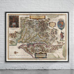
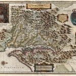
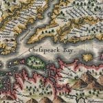

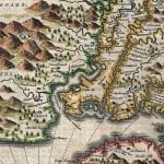
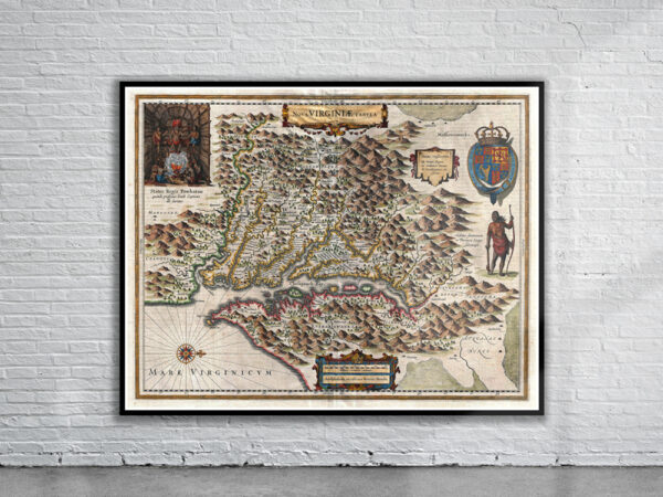
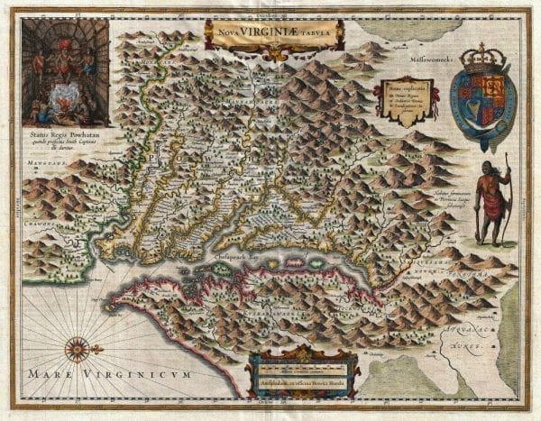
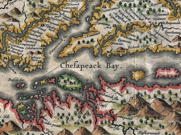
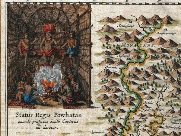

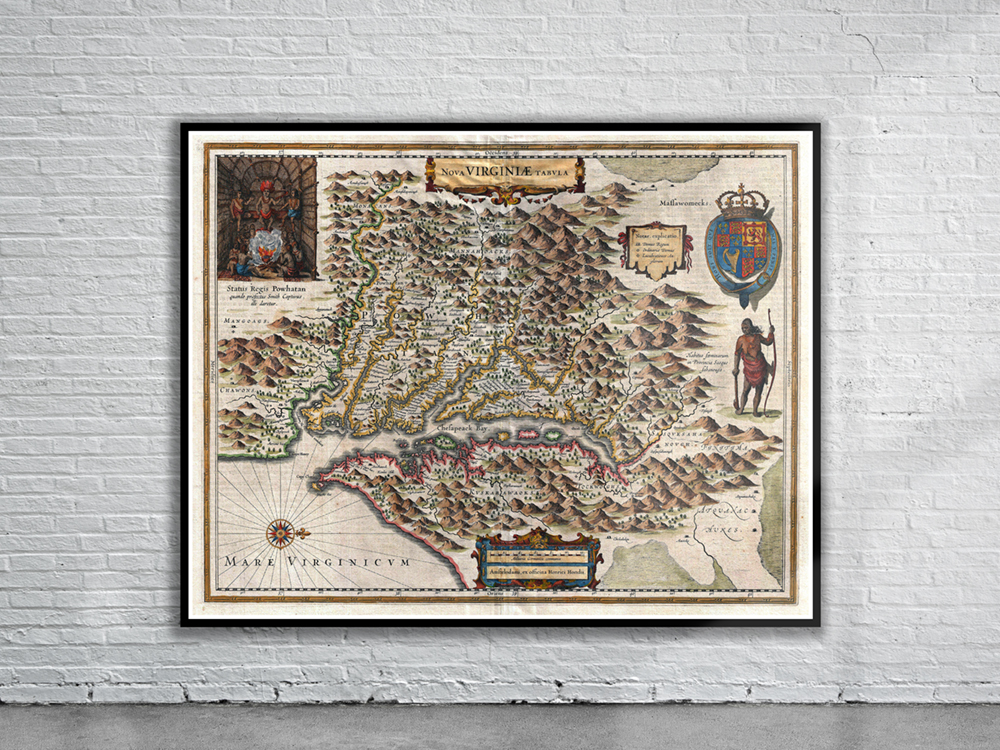
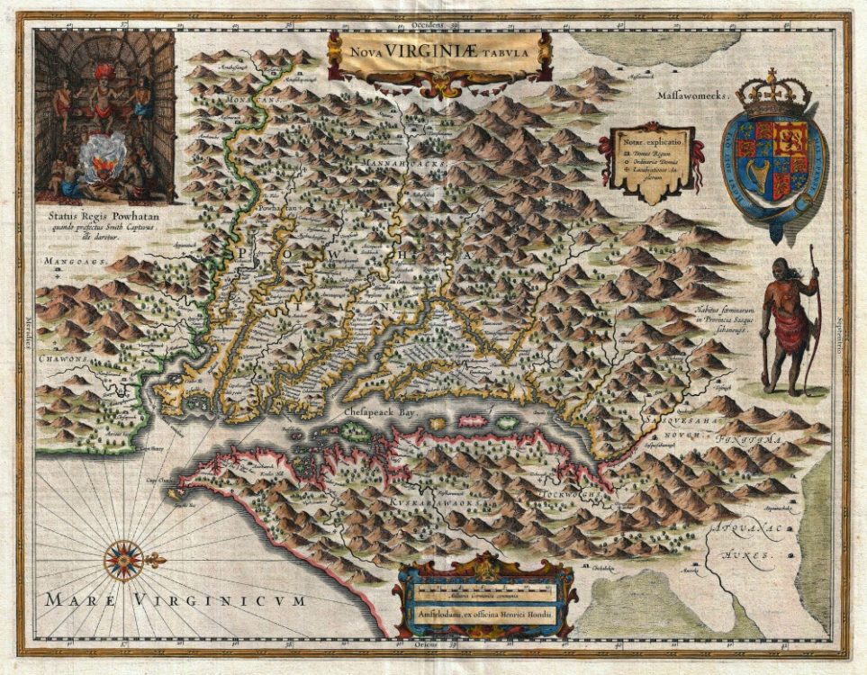
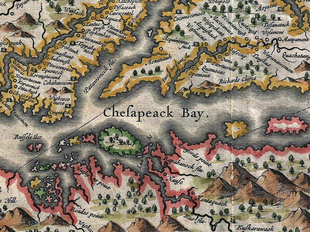
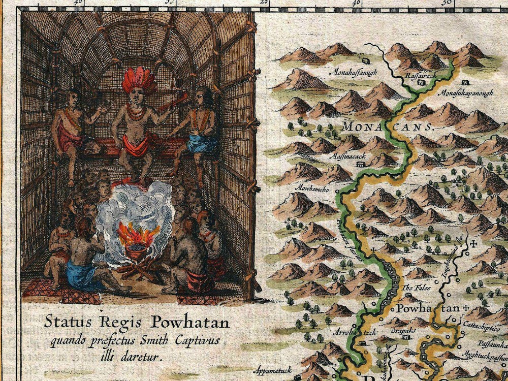
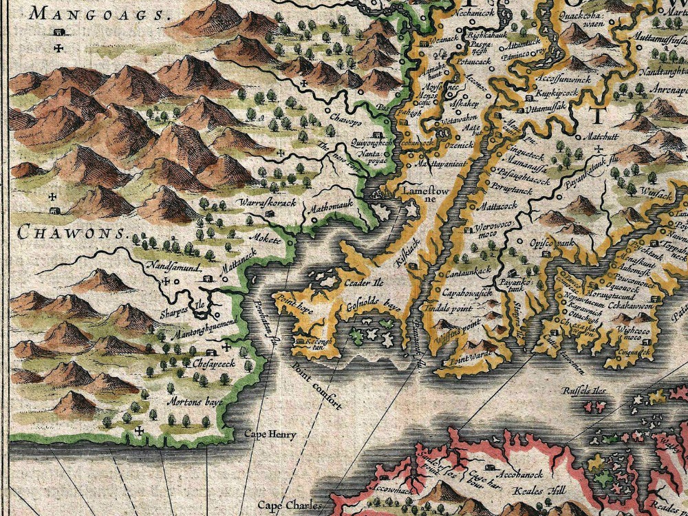
Hondius 1630 map of the Virginia colony and the Chesapeake Bay. Oriented with North to the right, this map covers from Cape Henry to the Susquehanna River and inland as far as the Appalachian Mountains. It was based on the early map of English settler John Smith of 1612.
- Stunning Full Colour Reproduction using the Most Advanced Technology Available
- Printed on Museum Matte Archival Paper 310gm
- Unique Conversation Piece for your Home or Business
- Frame not included