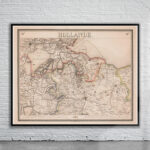
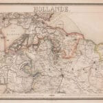
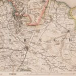
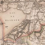
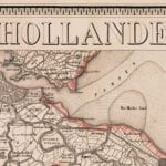
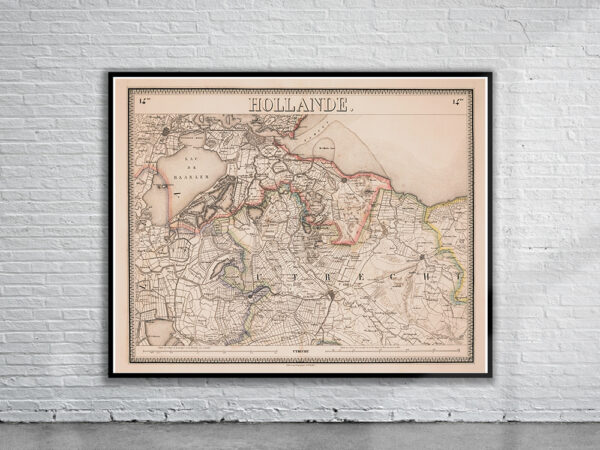
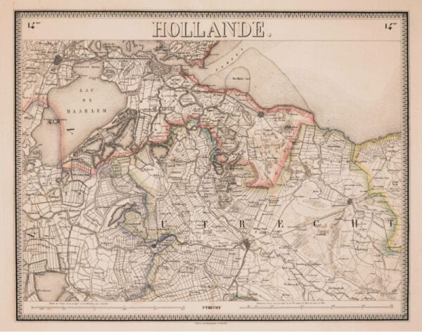
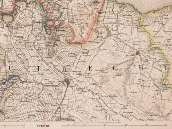
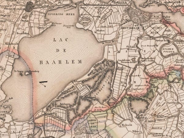
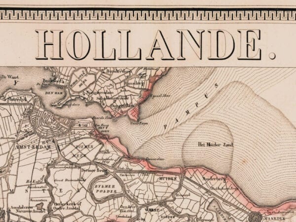
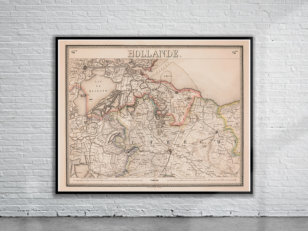
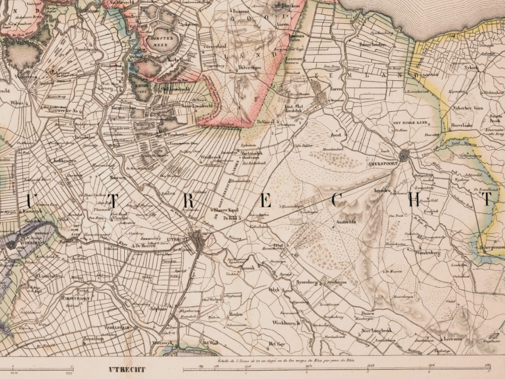
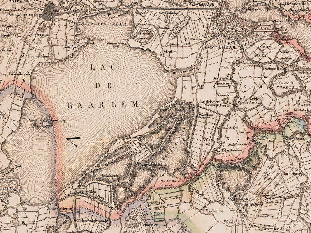
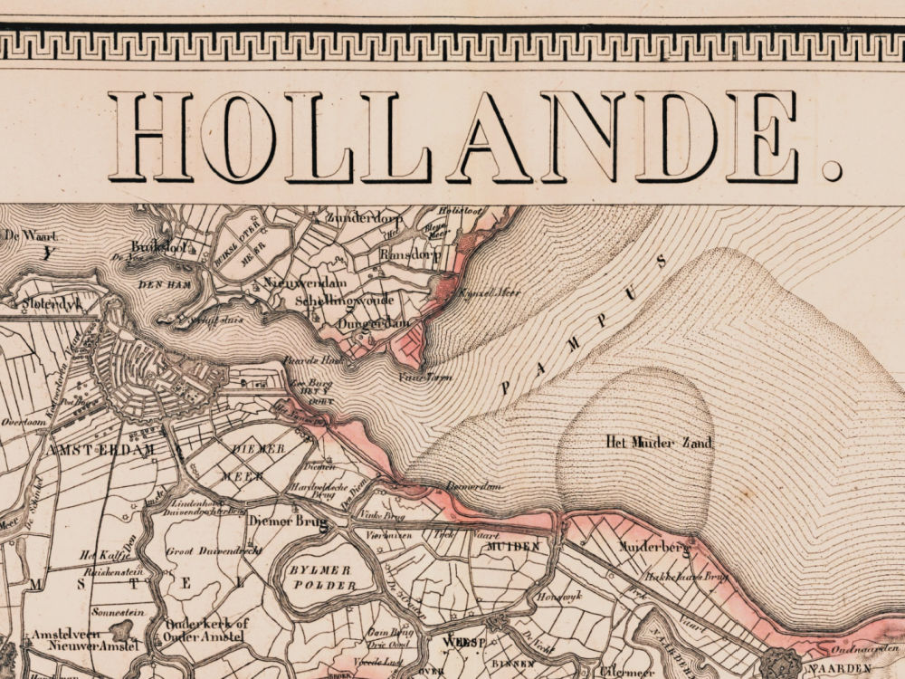
A Vintage Map of Utrecht by Philippe Vandermaelen from 1830. From the New Atlas of the Netherlands.
- Stunning Full Colour Reproduction using the Most Advanced Technology Available
- Printed on Museum Matte Archival Paper 310gm
- Unique Conversation Piece for your Home or Business
- Frame not included